
Directions
From Vernal, Utah, take U.S. 191 north about 41 miles.
From Manila, Utah, take Highway 44 for 28 miles. Turn left on U.S. 191 and travel approximately 3 miles north.
From Rock Springs, Wyoming, take I-80 west toward Green River about 6 miles to the junction with U.S. 191/Flaming Gorge Road. Take U.S. 191 south for about 71 miles, passing through Dutch John.
Phone
435-889-3000
Activities
BIKING, BOATING, HISTORIC & CULTURAL SITE, CAMPING, FISHING, HIKING, WATER SPORTS, WILDLIFE VIEWING, SWIMMING SITE
Keywords
FIRE,FIREFIGHTERS,FLAMING GORGE,ASHLEY NF – FS,Flaming Gorge National Recreation Area
Related Link(s)
Overview
Firefighters Campground is just 3 miles from beautiful Flaming Gorge Reservoir, within the Flaming Gorge National Recreation Area on the Ashley National Forest. The campground serves as a memorial to three firefighters who lost their lives in the 1977 Cart Creek Fire. Visitors enjoy boating, fishing, swimming and hiking.
Recreation
Bear Canyon Trail begins across the road from the campground, offering hiking and biking opportunities. This easy 3-mile round-trip trail leads to views of Red Canyon and Flaming Gorge.
Beautiful Flaming Gorge Reservoir is just 3 miles from the campground. The reservoir is known for its world-class fishing for lake, brown and rainbow trout.
Boating, water skiing, jet skiing, canoeing, kayaking, swimming and scuba diving are also popular activities.
Facilities
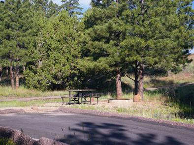
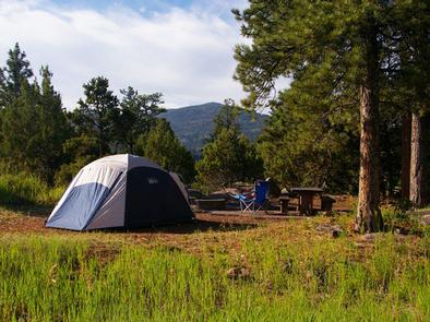
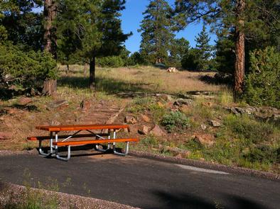
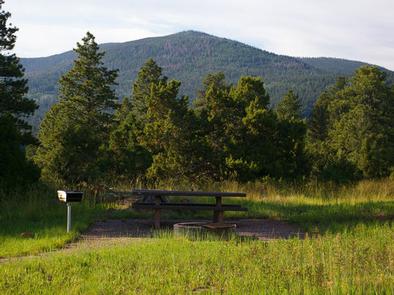
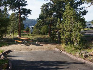
The campground offers several family sites, six of which are accessible. Each site is equipped with a picnic table and campfire ring; some sites have grills.
Flush toilets, drinking water and a dump station are available. Roads and parking spurs within the campground are paved. Firewood is available for purchase from the host.
Public showers are available 2.5 miles away at Deer Run Campground.
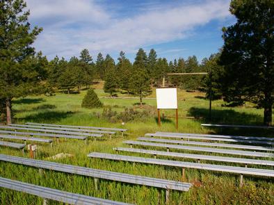
Bootleg Amphitheater, with a screen support and bleacher seating for 120 people, is located just across the road. Educational programs are offered throughout the summer season. A scenic overlook dedicated to the firefighters is located on-site.
Natural Features
The campground is situated on a gently-sloping hillside dotted with shady ponderosa pines and juniper, at an elevation of 6,900 feet.
Nearby Attractions
Flaming Gorge Dam offers guided tours of the working hydroelectric plant and the dam, and the adjacent visitor center contains area history exhibits.
The Green River below the dam provides spectacular rafting opportunities. A trip down the river offers unique geology, outlaw history and Native American rock art.