

Directions
Take Highway 50 east of Placerville, California, for 11 miles. Turn left onto Ice House Road and continue for 9 miles, then turn right onto Wrights Lake tie road. After 2 miles, turn left onto Wrights Lake Road.
Phone
831-245-6891
Activities
CAMPING, FISHING, HIKING, DAY USE AREA, SWIMMING SITE, BIRDING, NON-MOTORIZED BOATING
Keywords
WRIG,Crystal Basin,Icehouse Road,Wrights Lake,ELDORADO NF – FS
Related Link(s)
California State Road Conditions
Overview
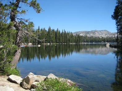
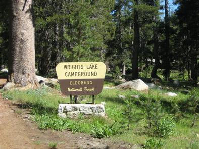
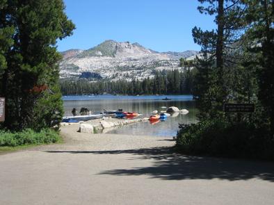
Wrights Lake Campground is situated in the timber belt, close to the lake shore, looking up at the majestic rocky peaks of the Sierra Nevadas and Desolation Wilderness. The area is well-known for its hiking, wildflowers and birding.
Recreation
The campground provides access to the lake, where visitors enjoy trout fishing, swimming and boating activities. Motorboats are prohibited in the area.
Hikers will enjoy access to multiple foot and horseback riding trails within 5 miles of the campground. Various trailheads, including Bloodsucker, Rockbound and Twin Lakes trails, provide access to Desolation Wilderness.
Educational programs are offered at the amphitheater, and mountain biking and off-road vehicle use is popular on Barrett Lake Jeep trail. Wilderness permits for day hiking are available at the trailheads, and overnight hiking permits are available at Pacific Ranger Station.
Facilities
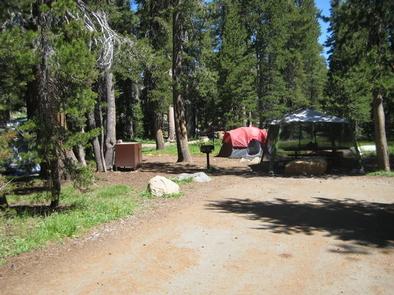
The campground offers dozens of campsites for tent and RV camping. Several sites offer sweeping views of Wrights Lake.
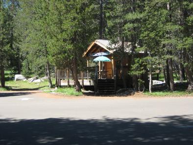
Each site is equipped with tables and campfire rings with grills, and firewood can be gathered in the area. Accessible vault toilets. A camp host is available during the daytime.
Natural Features
At nearly 7,000 feet in elevation, the campground is surrounded by pine and fir trees with a grassy understory. Wildflowers bloom throughout the spring and summer seasons.
Some sites are nestled among giant boulders, providing privacy for campers. The campground is close to Wrights Lake, a 40-acre body of water popular for its serene and quiet atmosphere.
Charges & Cancellations
https://www.recreation.gov/marketing.do?goto=/acm/resPolicies.htm