
Directions
From DeSoto, WI, travel 3 miles north on HWY 35 and turn left on County Road BI. From LaCrosse, WI, travel 25 miles south on HWY 35 and turn right on County Road BI.
Phone
608-648-3314
Activities
BOATING, CAMPING, INTERPRETIVE PROGRAMS, FISHING, DAY USE AREA, SWIMMING, KAYAKING, CANOEING
Keywords
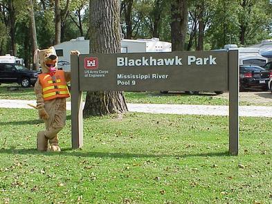
BLPA,BATTLE ISLAND,BLACKHAWK REC.AREA,MISSISSIPPI RV SP
Related Link(s)
Wisconsin State Road Conditions
Overview
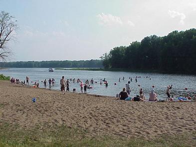
Blackhawk Park is located on a forested bend of the main channel of the Mississippi River. The campground is the largest public use facility in Mississippi’s Pool 9, offering a wide variety of recreational activities.
Recreation
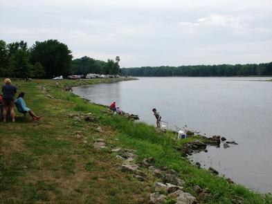
Boating, kayaking, canoeing and fishing are Blackhawk’s most popular forms of recreation.
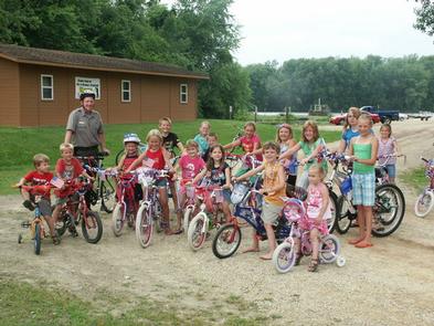
Park rangers provide a variety of programs and activities throughout the summer. Interpretive programs are based on recreation, local history and the environment. Other activities range from guided walks and campfire talks, to natural crafts programs.
Here, one can view majestic bluffs and rich backwater vegetation. Sometimes a river barge or classic paddle-wheeled steamboat can be seen journeying up the river.
Facilities
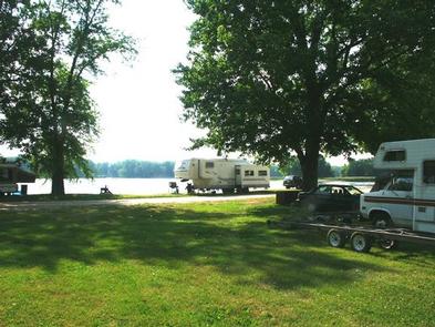
The campground offers 150 campsites, including 73 with electrical hookups. All sites have a picnic table and fire ring provided. Flush toilets and showers are located in the West Camping loop. There are no full-hook up sites but a dump station and potable water are located within the park. The park also has a beach, two picnic shelters, two boat ramps, two playgrounds, a volleyball court, horseshoe pits, fishing docks.
Natural Features
This peaceful park is situated on the main channel of the Mississippi River. Cottonwoods, green ash, swamp oaks, river birch and willow trees forest the site, offering nice shade in the summer and beautiful fall colors in autumn.
Visitors commonly see a variety of wildlife, including bald eagles, blue herons, ducks, geese, whitetail deer and wild turkey.
Nearby Attractions
The small river towns of DeSoto, Wisconsin and Lansing, Iowa are nearby. DeSoto is 5 minutes south, Lansing is 15 minutes south with a few restaurants and shops. LaCrosse, Wisconsin is 30 minutes north, with restaurants, shops, galleries and farmers markets. Effigy Mounds National Monument which is operated by the National Park Service (NPS) is located about a 40 minutes south of Blackhawk Park and offers excellent hiking opportunities, and well as picturesque views, and a visitor center, and is free to enter. The Driftless Area Education And Visitors Center in Lansing Iowa is a short 15 minute drive south, and explores the cultural, recreational, natural, and historical significance of the Driftless Area.