

Directions
From Eugene, Oregon: Take I-105 East McKenzie River to highway 126E. Go 55 miles on Hwy 126 to McKenzie Bridge. From McKenzie Bridge travel east on Highway 126 to Horse Creek Road #2638. Turn right on Horse Creek Road and travel southeast for 2 miles to Horse Creek Group Campground. The campground is the first left after the junction with King Road.
Phone
541-822-3381
Activities
CAMPING, FISHING
Keywords
HORS,WILLAMETTE NF -FS
Related Link(s)
Overview
Horse Creek Group Campground is located on the banks of Horse Creek. The rushing water and tall Douglas fir trees offer a cool, shady spot to enjoy the outdoors. A picnic area offers a great spot for grilling and group gatherings.
Recreation
Fishing in Horse Creek is an enjoyable pastime. The McKenzie River National Recreation Trailhead is nearby, offering fun-filled hiking and biking opportunities. The 26-mile trail boasts wonderful scenery along the river, and is an easy hike for all ages. There are also numerous developed boat launches that provide access to the McKenzie River.
Facilities
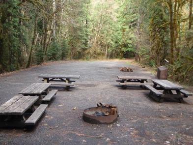
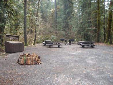
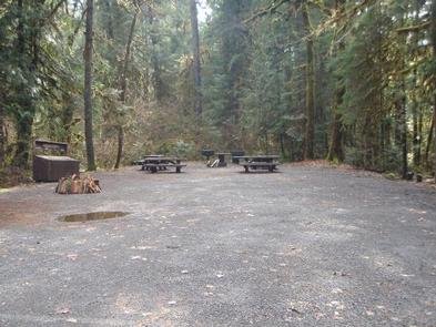
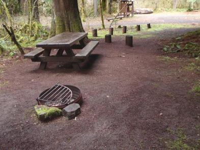
Horse Creek accommodates up to 100 campers and 23 vehicles. The campground comes with drinking water, picnic tables, vault toilets and campfire rings. Visitors need to bring their own firewood.
Natural Features
The campground sits along Horse Creek among Douglas fir and Western Red Cedar. The creek flows into the McKenzie River, a 90-mile tributary that transports snowmelt from the Cascade Range to the Willamette Valley.
Set along the western slopes of the Cascade Mountains, gorgeous, lush mountain landscapes are found in every direction.
Nearby Attractions
Cougar Reservoir is about 10 miles southwest and boasts excellent boating opportunities.