
Directions
From Deer River, travel northwest on Highway 46. Turn on Eagle Nest Road and continue west for four miles, past East Seelye and West Seelye campgrounds. Deer Lake Campground is on the left. Take Highway 46 northwest from Deer River, MN. Turn on Eagle Nest Road (Old CR 33) and travel 4 miles west. You will pass East Seelye and West Seelye Campgrounds. Deer Lake Campground is on the left. North Deer is first, South Deer is another half-mile down the road.
Phone
218-246-2123
Activities
BIKING, BOATING, CAMPING, FISHING, HIKING, WATER SPORTS, SWIMMING SITE
Keywords
North Deer,South Deer,Deer,CHIPPEWA NF – FS
Related Link(s)
Minnesota State Road Conditions
Overview
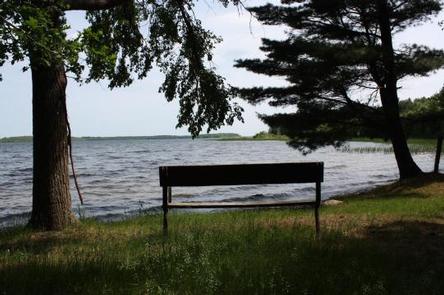
Deer Lake Campground is located on scenic Cut Foot Sioux Lake, next to Lake Winnibigoshish, in the heart of the Chippewa National Forest. Visitors come to the area for boating, walleye, northern, sunfish, and crappie fishing, and beautiful scenery.
Recreation
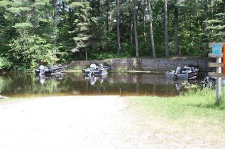
Boating, swimming, and fishing are popular activities on Cut Foot Sioux Lake. A boat ramp is centrally located between the campground’s two loops and provides lake access via Biauswah Creek. A large swimming beach is located at the North Deer Loop and a smaller beach is located at South Deer Loop. Boats may be moored offshore.
Miles of trails in the area provide great hiking, horseback riding, mountain biking, and birding opportunities. The 26-mile Cut Foot Sioux National Recreation Area Trail runs through the campground and connects with the Simpson Creek Trail.
Cut Foot Sioux Lake is located next to Lake Winnibigoshish, which can be accessed from Cut Foot Sioux. Lake Winnie offers excellent fishing opportunities for walleye, northern, panfish, and muskie. It is one of Minnesota’s premier fisheries. Boating and water skiing are popular activities.
Facilities
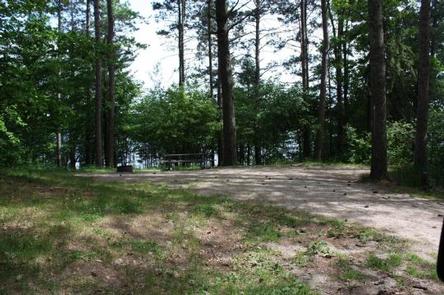
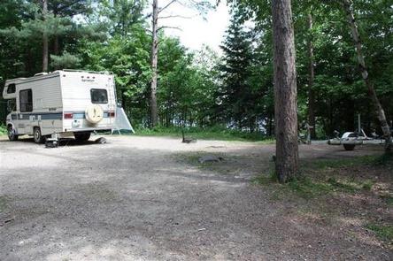
The campground offers several single-family campsites, each equipped with a picnic table and campfire ring. Vault toilets and hand-pumped drinking water are provided. Firewood is available for purchase from the host.
Natural Features
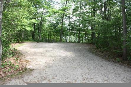
Deer Lake Campground is situated on the northwest shore of Cut Foot Sioux Lake and is split into two separate loops. The North Deer Loop is covered by a hardwood forest of maple and oak, with some mature pine trees scattered throughout the area. South Deer Loop is forested with mature red and white pines.
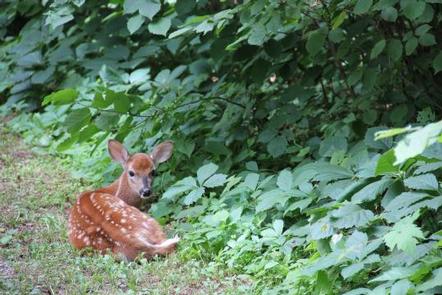
Cut Foot Sioux is home to a variety of waterfowl and birds of prey, including loons, osprey and bald eagles. The much larger Lake Winnibigoshish is accessible by boat and within sight of these two campgrounds.
Nearby Attractions
Down the road, East Seelye Bay offers a large picnic area, boat landing with dock and a swimming beach.