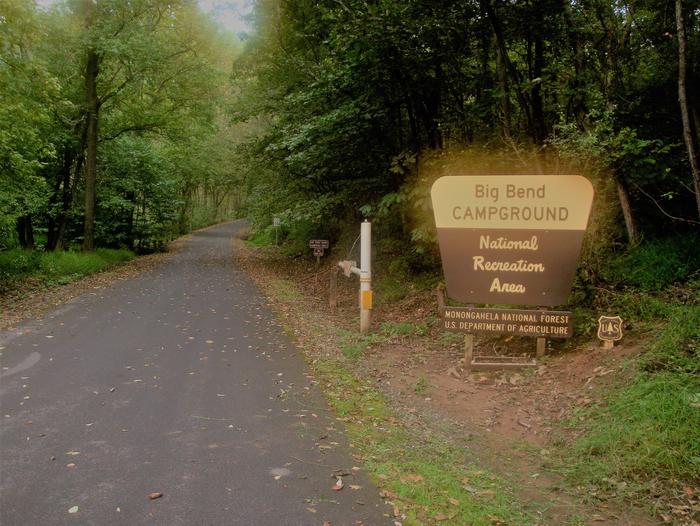
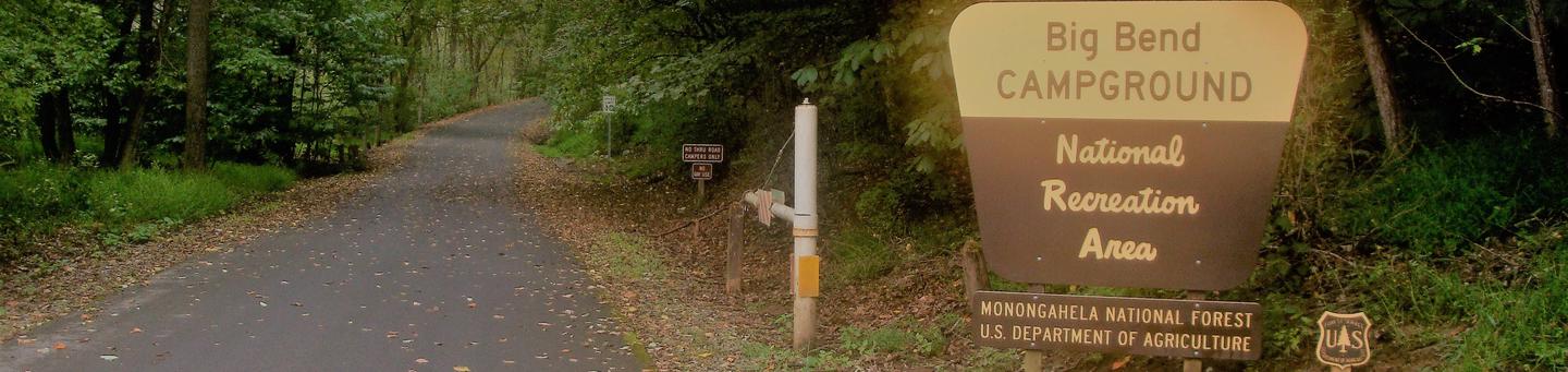
BIG BEND (WV), WV Campground Reservation, Info, Images, Map, Directions

BIG BEND (WV), West Virginia Campground Images, Info & Reservations

Listen

Directions

Follow 28/55 from Petersburg, West Virginia, for 8 miles. Turn left onto Smoke Hole Road, Route 28/11, and travel for 13 miles to County Route 2. Turn left onto the Smoke Hole Road, County Route 2, and follow for approximately 3 miles to Big Bend Campground.

Phone

304-358-3253

Activities

BOATING, CAMPING, FISHING, HIKING, HUNTING, KAYAKING, CANOEING

Keywords

BIGB,JESS JUDY CAMPGROUND,JESS JUDY GROUP CAMP,MONONGAHELA NF -FS

Related Link(s)

Rec Area Info & Images

West Virginia State Tourism

Forest Service Concessionaire

West Virginia State Road Conditions

Overview

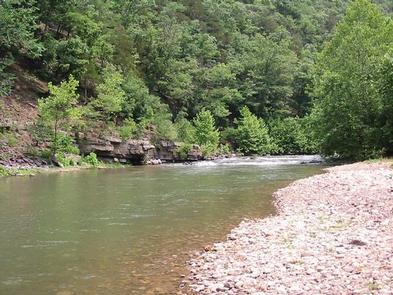
Big Bend is a family-oriented campground along a bend on the South Branch Potomac River in Smoke Hole Canyon. With its convenient position on the river, the campground creates a recreation hub for fishing, tubing, kayaking and swimming.

About 1.3 million people visit the Monongahela National Forest each year. The forest is a drivable distance from metropolises like Washington, D.C., and Pittsburg, yet still offers a remote and scenic camping getaway.

Recreation

The Big Bend Loop Trail is a one-mile nature trail that circles the campground. The majority of the trail follows along the river bend.

Thirty miles of maintained trails can be found nearby, and mountain biking is permitted on most trails.

Facilities

Big Bend offers 46 sites; 18 sites are non-reservable. Twelve sites on the river loop have tent pads. All sites have a lantern holder, picnic table and fire ring. Drinking water is available. There are two pit toilets, one shower house, and flush toilet restrooms in each loop. There is also a dump and fill station.

Natural Features

Big Bend Campground is in the northern portion of the Monongahela National Forest, boasting beautiful old growth trees that become vibrant with color in fall.

The river runs north through the Smoke Hole Canyon, which bears a name of uncertain origin. One theory is Native Americans used the caves of the gorge for smoking meat, which created "smoke holes." Another is that misty fog often lies along the river and ascends in what looks like smoke from a hole.

Nearby Attractions

The Highland Scenic Highway provides an unforgettable drive through narrow, steep valleys and rolling, tree-topped mountains. Estimated time to drive on this byway is two to four hours, and highlights include Cranberry Glades Botanical Area, Summit Lake and Falls of Hills Creek.

Reservation

More from CampingHiking.net:

COGHILL LAKE CABIN, Alaska Campground Images, Info & Reservations

Listen Directions The cabin is located on the southwest shore of Coghill Lake, on the lagoon just before Coghill River, on the east side of College Fiord in Prince William Sound. Accessible via float plane (50 minutes from Anchorage or 60 minutes from Cordova). The lagoon has enough water to

HAWTHORN BLUFF, Oklahoma Campground Images, Info & Reservations

Listen Directions From Tulsa, Oklahoma, take U.S. Highway 169 north for 27 miles to Highway 88. The campground is 2 miles east of the town of Oologah on Highway 88. Phone 918-443-2319 Activities BOATING, CAMPING, FISHING, HIKING, VISITOR CENTER, WATER SPORTS, DAY USE AREA, SWIMMING SITE Keywords HAWT,OOLOGAH LAKE,OOLOGAH LAKE

LAKE ALPINE – LODGEPOLE GROUP, California Campground Images, Info & Reservations

Listen Directions From Angel Camp, drive 50 miles east on Highway 4. Phone 209-753-6350 Activities BOATING, CLIMBING, CAMPING, INTERPRETIVE PROGRAMS, FISHING, HIKING, PICNICKING, RECREATIONAL VEHICLES, VISITOR CENTER, WILDERNESS, DAY USE AREA, SWIMMING SITE, SWIMMING, MOTOR BOAT, OFF ROAD VEHICLE TRAILS, PADDLE BOATING, WATER ACTIVITIES, KAYAKING, NON-MOTORIZED BOATING, DISC GOLF, SCENIC

RANCHERIA, California Campground Images, Info & Reservations

Listen Directions From Clovis, take Highway 168 north 70 miles to Huntington Lake Campground office at Eastwood. Check in at office prior to setting up camp. Phone 559-893-2111 Activities BOATING, HISTORIC & CULTURAL SITE, CAMPING, INTERPRETIVE PROGRAMS, FISHING, HIKING, WATER SPORTS, DAY USE AREA, SWIMMING SITE Keywords RANC,HUNTINGTON LAKE,SIERRA NF

SMITH RAPIDS PAVILION, Wisconsin Campground Images, Info & Reservations

Listen Directions From the intersection of Highways 13 and Highway 70 in Fifield, drive about 12 miles east on Highway 70 to Forest Service Road 148. Turn left (north) and continue just over a mile on Forest Service Road 148, to the Smith Rapids Campground entrance. Phone 715-762-2461 Activities BIKING,