
Directions
From St. Crois, Indiana, travel south on State Route 37 about 2 miles to the Indian-Celina Recreation Area sign. Turn right and continue to the campground.
Phone
812-843-4880
Activities
BOATING, HISTORIC & CULTURAL SITE, CAMPING, HIKING, HUNTING
Keywords
INDL,HOOSIER NF – FS
Related Link(s)
Overview
The Indian-Celina Lake Recreation Area is a tranquil getaway in the midst of the Hoosier National Forest. Both the Celina and Indian Lakes are within the area, offering camping, boating, fishing and hiking, as well as tours of a historic site.
Recreation
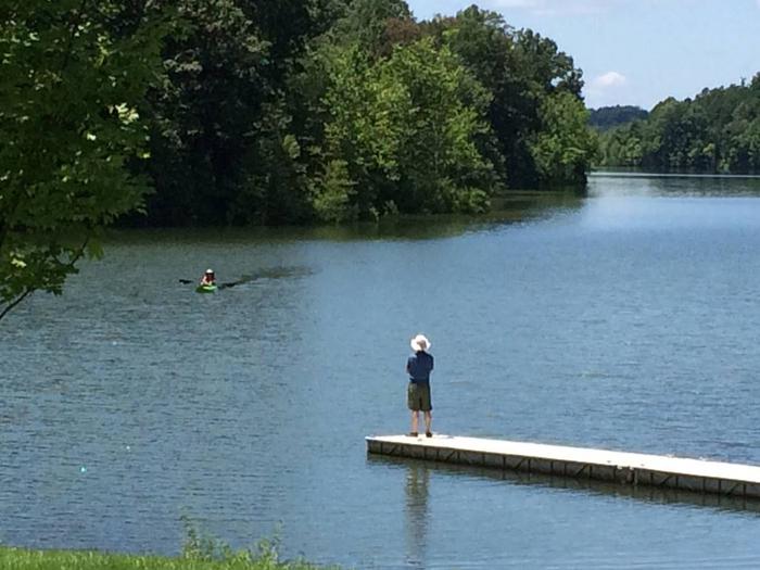
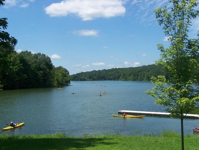
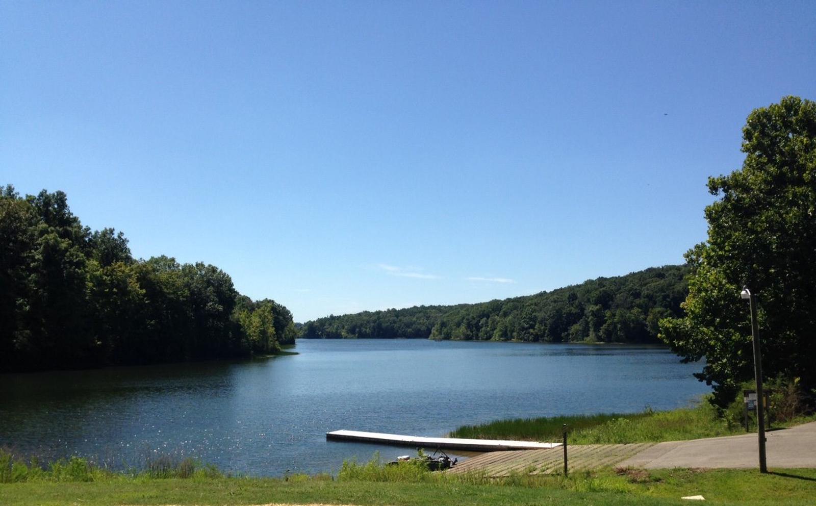
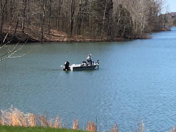
Indian and Celina lakes are two of four fishing lakes along Highway 37. The lakes offer many miles of shoreline and coves for fishing for pan fish. Boat ramps are open year-round, and an accessible fishing pier is available on Celina Lake. Anglers can expect a variety of catfish, largemouth bass, bluegill and crappie. The sandstone block, historic Rickenbaugh House was built in 1874 and is open to visitors periodically throughout the year. The home and adjacent historic cemetery are popular among visitors. A variety of hiking trails exist within the area, including the relatively easy, 1 mile Rickenbaugh Interpretive Trail, which is located behind the historic Rickenbaugh House. The Two Lakes Loop National Recreation Trail encircles both Indian and Celina lakes and winds through many acres of natural and peaceful forests. The trail is 16 miles, but can encompass multiple, shorter day hikes.
Facilities
The area offers dozens of individual campsites, divided in two loops. Campsites are available for tent and RV camping. Utility hookups are available in some of the sites and the parking surfaces are paved.
Each site is equipped with tables and campfire rings with grills. Accessible flush toilets, showers and drinking water are provided. A day-use area is also available, and provides access to the nearby boat ramp. Picnic tables are available there and at the historic site.
Natural Features
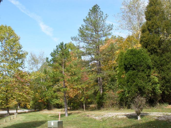
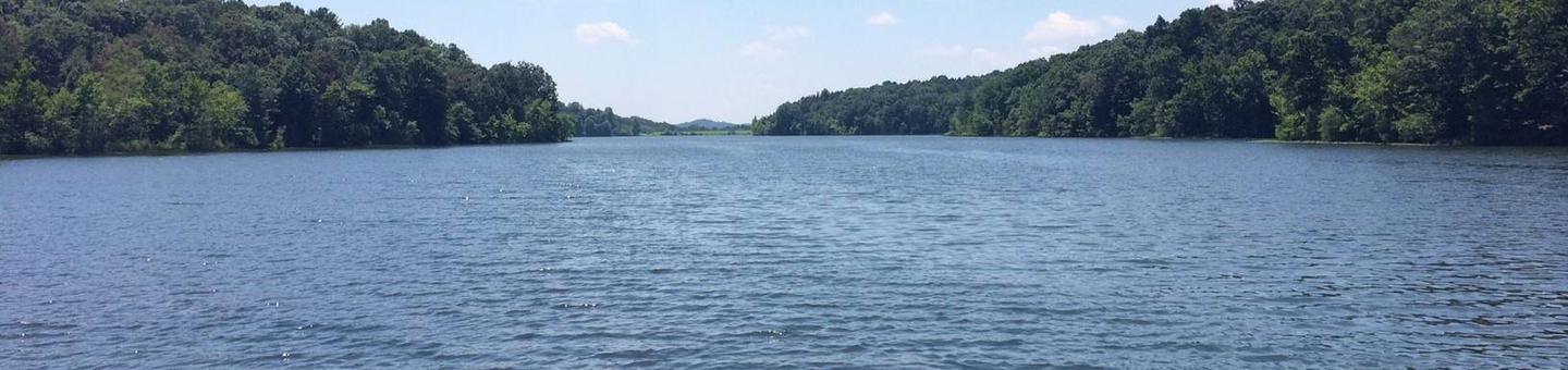
The area is located in south-central Indiana, in a dense hardwood and pine forest, on 152-acre Indian and 164-acre Celina lakes. A variety of wildlife make its home in the area.