
Directions
From Seattle, take Interstate 90 east to exit 47. Go north over the freeway and follow signs 3 miles to campground.
Phone
360-804-1103
Activities
CAMPING, FISHING, HIKING
Keywords
DENN,MT. BAKER-SNOQU NF – FS
Related Link(s)
Washington State Road Conditions
Overview
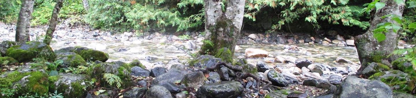
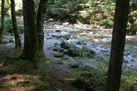
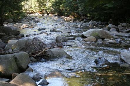
Situated near the south fork of the Snoqualmie River in Mt. Baker-Snoqualmie National Forest, Denny Creek Campground offers visitors stunning scenery and easy access to an abundance of recreational activities in the Northern Cascade Range.
Campsites sit beneath a canopy of forest, and a few are sprinkled at the banks of Lodge Creek, which flows into the Snoqualmie.
Recreation
In addition to being a prime location for hiking, fishing, picnicking and horseback riding in summer and early fall, Denny Creek offers excellent skiing and snowshoeing in the winter months.
The Asahel Curtis Nature Trail, named for one of Washington’s most renowned nature photographers, is located nearby. This trail is a short, easy walk through one of the last remaining stands of old growth forest in the Snoqualmie Valley. The trail crosses Humpback Creek several times before rising gently into a grove of mature Douglas-fir, western hemlock and western red cedar. Mosses, ferns, orchids and a large variety of other wildflowers abound on the forest floor.
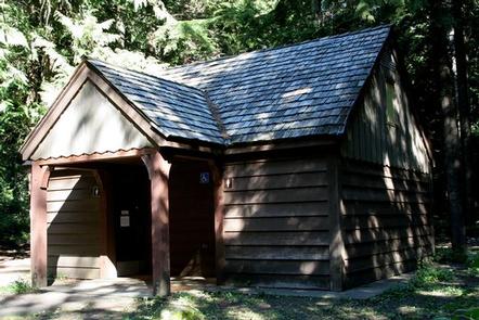
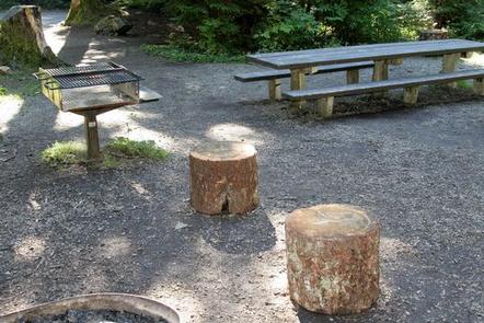
Facilities
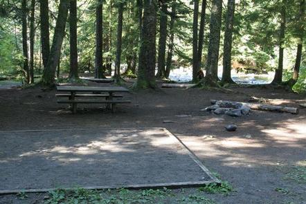
Denny Creek Campground offers 24 reservable campsites, including one group site. Picnic tables, flush toilets and drinking water are also available, as well as electrical hook-ups at a handful of sites.
Natural Features
Hemmed in by several designated wilderness areas, this national forest showcases rugged peaks, sparkling alpine lakes and old-growth forests, providing visitors with a variety of scenic landscapes.
On a clear day visitors can spot Mt. Baker, the most prominent feature of the Mt. Baker Wilderness Area. Rising to an elevation of 10,781 feet, this active volcano is perpetually snow-capped and mantled with an extensive network of creeping glaciers. Mt. Baker’s summit, Grant Peak, is actually a 1,300-foot-deep mound of ice, which hides a massive volcanic crater.
Wildlife in the area include mountain goats, coyotes, pine marten and a variety of migratory birds and native fish.
Nearby Attractions
Denny Creek Road, a historic wagon route used by early settlers to cross Snoqualmie Pass, can be accessed from milepost 47.
The Verlot Public Service Center, near the South Fork Stillaguamish River, was built by the Civilian Conservation Corps from 1933 to 1942. Verlot`s handsome buildings reflect the architectural style and fine craftsmanship of the era and are listed on the National Register of Historic Places.