Directions
Take Highway 14 from Cedar City, Utah, 28 miles east to Duck Creek campground. Campground turnoff will be on the left hand side of the highway, before you reach Duck Creek Village.
Phone
801-226-3564
Activities
BIKING, BOATING, CAMPING, FISHING, HIKING, HUNTING, VISITOR CENTER, WILDLIFE VIEWING, PHOTOGRAPHY, MOUNTAIN BIKING, CANOEING, BIRDING, SCENIC DRIVE, AMPHITHEATER, OFF HIGHWAY VEHICLE TRAILS, CAVING
Keywords
DUCK,DIXIE NF – FS
Related Link(s)
Overview
Duck Creek Campground is located 25 miles east of Cedar City, Utah. Visitors enjoy fishing in Duck Creek Pond and nearby Navajo Lake, exploring the Markagunt OHV Trail System and the many miles of non-motorized trails. Nearby sites to see are Cascade Falls, Cedar Breaks National Monument, the Ice Cave and Mammoth Caves. It is the perfect place to stay if your plans include visiting Bryce and Zions National Parks.
Recreation
Duck Creek Pond offers great fishing for rainbow, brook, brown and cutthroat trout. The Markagunt ATV Trail System can be accessed from within the campground, offering about 300 miles of ATV/OHV routes and trails for riders of all skill levels. The Virgin River Rim Trail is a very popular 32 mile trail that skirts the Virgin River Rim with views of Zions National Park in the distance and the Virgin River Rim. The trail can be accessed in several locations and is within a few minute drive from the the campground. This trail is a non-motorized trail and enjoyed by bicyclist, horses and foot travel. There are many sites in the nearby area such as Cedar Breaks National Monument about a 15 minute drive from the campground and Bryce Canyon National Park approx 50 miles to the east. The Duck Creek Visitor Center is just across the road from the campground and will provide you with all the area information and local attractions such as Cascade Falls, Mammoth and Ice Caves, and excellent fishing at Navajo lake and Panguitch lake.
Facilities
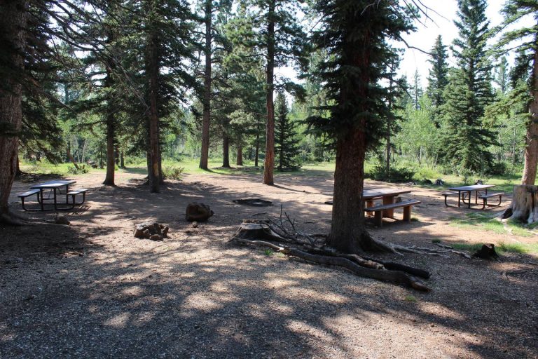
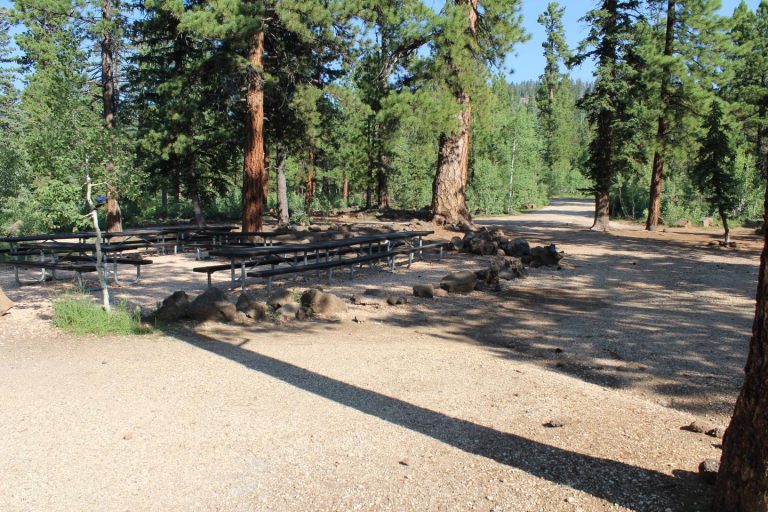
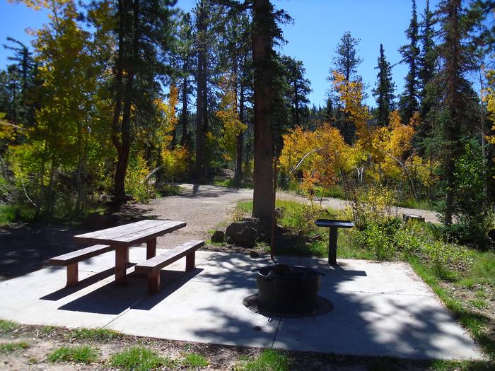
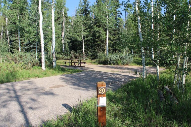
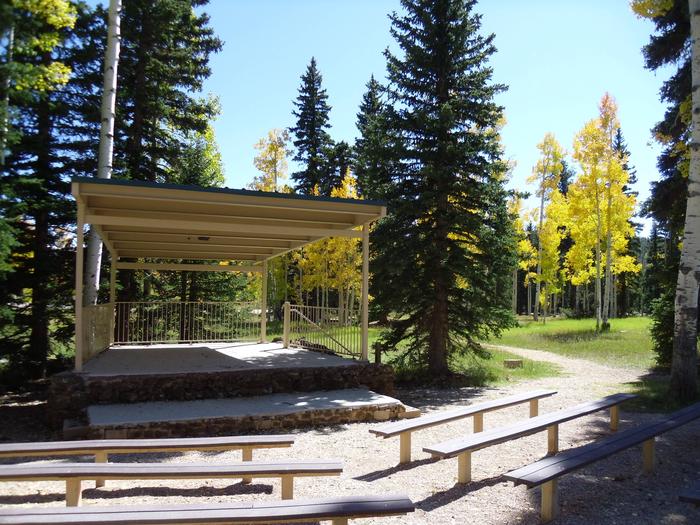
Duck Creek offers a variety of campsites for families and groups alike. Flush and vault toilets are provided, as is drinking water from Memorial Day through mid-September. An amphitheater with a covered stage and plentiful bench seating is located in the campground.
There is a OHV parking area that is located on the northeast corner in Loop D between campsites 89 and 90. OHV’s including street legal are allowed to ride from your campsite to the trail located in the D loop and back to your campsite only. Joy riding is not allowed in the campground. OHV’s are only allowed in the C, D and E Loops. A and B loops are closed to all OHV’s including street legal.
The Duck Creek Visitor Center is just across the road from the campground with trail maps and information on the surrounding scenic area.
There is a dumpstation with potable and non-potable water, drinking water spigots are scattered through out the campground. There are no hook-ups to the water so please make sure you fill you trailer before you set up camp at the dumpstation located at the entrance of the campground.
Natural Features
The campground is situated in Aspen and Douglas Fir tree stands with several old growth Ponderosa Pines that are 200 to 500 years old, Which is adjacent to Duck Creek Pond that you can walk to from the campground at an elevation of 8,400 feet. The area is rich in volcanic rock fields that orginated from underground lava tubes.
Nearby Attractions
Restaurants, cabin rentals, groceries, fuel are are available located in Duck Creek Village two miles east of the campground. Small aluminum fishing boat rentals, a boat dock, rustic cabin lodging are available at nearby Navajo Lake Lodge which is located on the northwest shore of Navajo Lake a short 6 miles from the campground.
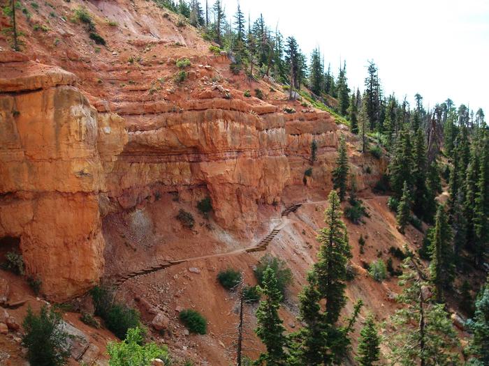
Cedar Breaks National Monument is 10 miles away, with hiking trails, guided tours and breathtaking scenery.
Adjacent to Cedar Breaks National Monument is the Ashdown Gorge Wilderness Area, where hikers will find miles of trails including the Twisted Forest trail that has a stand of ancient bristlecone pine some of which can live up to 5,000 years.
Bryce Canyon National Park is a 35 minute drive to the east, Zions National Park is an hour drive to the south.
The Dixie National Forest offers endless trails both motorized and non-motorized along with high altitude fishing lakes and streams.
Come Stay and Play!

