


Directions
From Leadville, Colorado, drive west on County Road 4 about 3 miles, turn right on County Road 9C and follow to Father Dyer Campground on the left.
Phone
719-486-0749 (INFORMATION ONLY, NO RESERVATIONS)
Activities
BOATING, HISTORIC & CULTURAL SITE, CAMPING, FISHING, HIKING
Keywords
FATH,TURQUOISE LAKE,LEADVILLE,PIKE AND SAN ISABEL NF- FS
Related Link(s)
Colorado State Road Conditions
Overview
Father Dyer Campground is situated on the eastern shore of Turquoise Lake in the shade of a lodgepole pine and subalpine fir forest. The family-friendly campground is a popular summer destination for boating, hiking and fishing.
The campground is named after Father John Lewis Dyer, one of the first Methodist ministers to tour Colorado’s high country mining camps. For 20 years, beginning in 1862, he travelled the circuit encompassing Alma, Fairplay and Leadville, regularly skiing over the 13,186-foot Mosquito Pass on long, wooden skis.
Recreation
The 1.2-mile Turquoise Lake Nature Trail is a gentle loop trail through the forest and down to the shoreline of Turquoise Lake. This trail connects to the 6.4-mile Turquoise Lake Trail that parallels the shoreline from Sugar Loaf Dam to May Queen Campground. Trail guides are available at the trailhead located about a mile south, at the entrance to Molly Brown Campground. On the lake, boating, sailing, canoeing and fishing are favorite activities. Anglers fish for stocked cutthroat, rainbow, brown and lake trout. Matchless Boat Ramp is located about two miles south of the campground.
Facilities
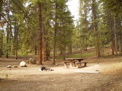
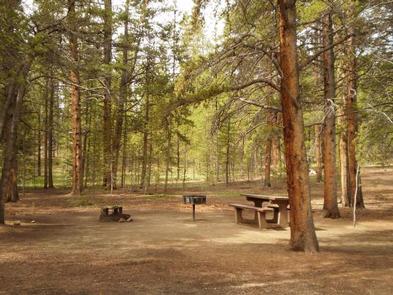
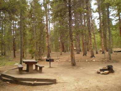
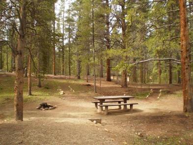
The campground offers single-family sites, some of which are accessible. Each site is equipped with a picnic table and campfire ring with grill. Vault toilets, drinking water and trash collection are provided. Firewood is available for purchase from the host. Parking spurs are gravel or dirt.
Natural Features
Campsites are nestled in the forest near the scenic lakeshore. The Mount Massive Wilderness Area, a 30,540 acre stretch of primitive land encompassing Colorado’s second highest peak at 14,421 feet, is nearby. Much of the wilderness is above timberline with many alpine plant communities and permanent snowfields.
Nearby Attractions
Venture to Independence Pass for a scenic drive with breathtaking views of the Rockies and surrounding alpine tundra habitat. At 12,095 feet, it is one of the highest paved mountain passes in the country and marks where the Top of the Rockies National Scenic and Historic Byway crosses the Continental Divide.