LAKE VESUVIUS RECREATION AREA, OH Campground Reservation, Info, Images, Map, Directions

LAKE VESUVIUS RECREATION AREA, Ohio Campground Images, Info & Reservations

Directions

From U.S. Highway 52 at Ironton, take State Route 93 north for less than 10 miles to Lake Vesuvius Road (County Road 29). Turn east toward Lake Vesuvius and travel 1 mile to the recreation area.

Phone

740-534-6500

Activities

BOATING, CAMPING, FISHING, HIKING, PICNICKING, WILDLIFE VIEWING, DAY USE AREA, SWIMMING SITE, KAYAKING, CANOEING, ARCHERY

Keywords

Two Points,2 Point,LAVR,OAK HILL CAMPGROUND,IRON RIDGE CAMPGROUND,VESUVIUS,FURNACE,ROADSIDE,2 POINTS,WAYNE NF – FS,Two Points Group Campground

Related Link(s)

Rec Area Info & Images

Ohio State Road Conditions

Ohio State Tourism

Overview

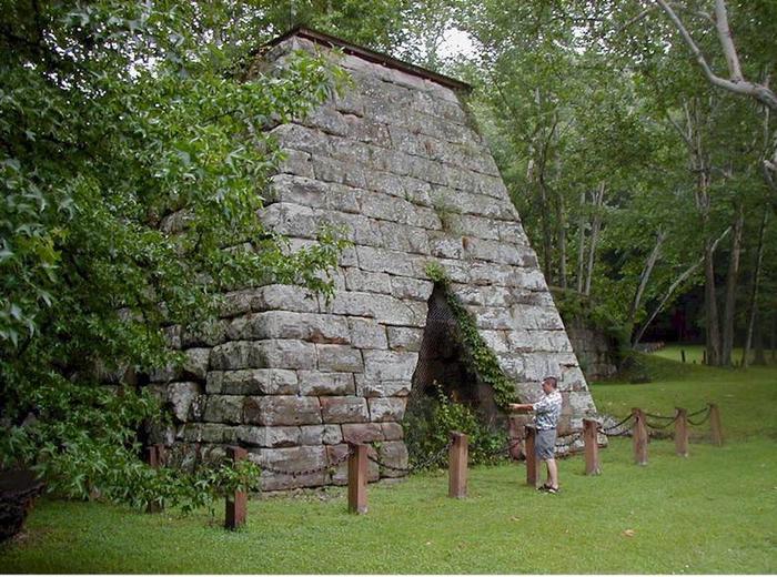
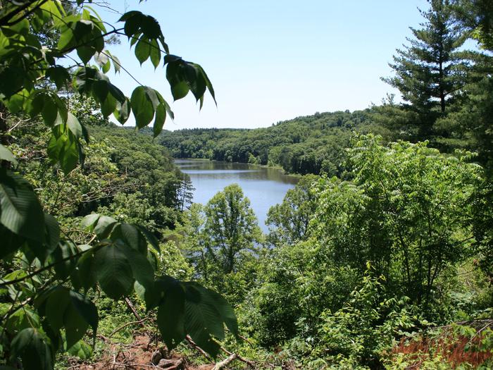
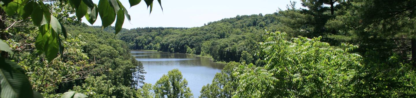
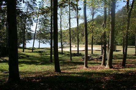
Lake Vesuvius Recreation Area, named for the old Vesuvius iron furnace, is the Wayne National Forest’s premier developed recreation site. The 143-acre lake and 1,200-acre complex provides the perfect spot for a getaway.

Recreation

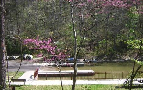
Lake Vesuvius is a popular location for swimming and fishing. Anglers may catch bass, catfish, crappie and bluegill. A boat ramp is located on-site. A swimming beach is located at Big Bend.

A large playing field and multiple hiking trails are available within the recreation area. The accessible 1/3-mile boardwalk along the southwest edge of the lake provides an opportunity for a leisurely stroll through the area, and the slightly longer 1/2-mile Longbow Archery Trail, accesses at least 25 field targets for shooting practice. The area boasts more than 25 miles of hiking trails and more than 45 miles of horseback riding trails.

Facilities

The recreation area offers two developed family campgrounds, a group camp and group picnic shelters. The group campsite can accommodate up to 50 people for tent camping. It is equipped with tables and campfire rings with grills. Accessible vault toilets, showers and drinking water are provided.

Group shelters can accommodate up to 150 people. Picnic tables, campfire rings and grills are provided, as well as accessible flush toilets and drinking water. One shelter provides electricity, while the other does not. Each has access to an amphitheater.

Natural Features

The lake sits on Storms Creek, which was dammed in 1939 by the Civilian Conservation Corps. The rugged hills and rock outcroppings offer a scenic backdrop for this beautiful recreation area. The historic Vesuvius iron furnace is located at the base of the dam.

Nearby Attractions

The closest town is Ironton, Ohio, less than 10 miles from the campground.

Reservation

More from CampingHiking.net:

KIRBY LANDING, Arkansas Campground Images, Info & Reservations

Directions From Hot Springs, Arkansas, take Highway 70 west to Kirby Landing Access Road. Turn left and continue into the campground. Phone 870-285-2151 Activities BOATING, CAMPING, FISHING, HUNTING, SWIMMING SITE Keywords KLAN,LAKE GREESON,KIRBY,CRUMP MARINA,LAKE GREESON Related Link(s) Rec Area Info & Images Arkansas State Road Conditions Arkansas State Tourism Overview

SILVER CREEK-TRUCKEE, California Campground Images, Info & Reservations

Directions From Truckee, travel south on Highway 89 for about 8 miles. Campground is on the left. Phone (530)587-3558. FOR RESERVATIONS, PLEASE CALL: 1 (877) 444-6777. Activities BIKING, CAMPING, FISHING, HIKING, SWIMMING SITE, MOUNTAIN BIKING, WATER ACTIVITIES, WATER ACCESS Keywords SICR,SILVER CREEK TRUCKEE,TAHOE NF – FS Related Link(s) Rec Area

FALL RIVER GUARD STATION, Oregon Campground Images, Info & Reservations

Directions Entry to the cabin is by combination lock box. Please call the Forest Service office at 541-383-5300 if you are having difficulty with the combination provided. You can also stop by the office, located at 63095 Deschutes Market Rd. Bend, OR 97701. From Bend, Oregon, take Highway 97 south.

FOXTAIL GRP PICNIC AREA, Nevada Campground Images, Info & Reservations

Directions From Las Vegas, Nevada, take Highway 95 north to the junction with Highway 156/Lee Canyon, turn left and travel approximately 19 miles to the picnic area, which is on the left. Phone 702-872-5486 Activities BIKING, CAMPING, HIKING Keywords FOXT,MOUNT CHARLESTON,LAS VEGAS,SPRING MTNS NAT REC AREA,HUMBOLDT-TOIYABE NF-FS Related Link(s) Rec

Midway Campground (FL), Florida Campground Images, Info & Reservations

Directions From Naples: Follow US HWY 41 east until you see signs for campground (approximately mile marker 52) From Miami: Follow US HWY 41 west until you see signs for campground (approximately mile marker 52) Phone 1 (239) 695-1205 Activities CAMPING, DAY USE AREA Keywords Midway Campground,Big Cypress Related Link(s)