

Directions
From Stanley, Idaho, take State Highway 75 south for 4 miles. Turn west onto Forest Road 214 at the Redfish Lake sign and travel approximately 2 miles. Turn right at the North Shore Picnic Area entrance sign.
Phone
928-537-8888
Activities
BIKING, BOATING, CAMPING, FISHING, HIKING, HORSEBACK RIDING, WATER SPORTS, WILDLIFE VIEWING, SWIMMING SITE
Keywords
NOSP,NORTH SHORE PICNIC AREA A B,SAWTOOTH NF – FS
Related Link(s)
Overview
North Shore Picnic Area is located next to beautiful Redfish Lake at the foot of the Sawtooth Mountain Range. Stanley, Idaho, is conveniently close, only about 4 miles away.
Recreation
North Shore is in the heart of the beautiful Sawtooth National Recreation Area, where outdoor activities abound.
Redfish Lake offers excellent boating, water skiing, canoeing, kayaking and fishing for rainbow trout and Kokanee salmon. Little Redfish Lake is just down the road, providing additional fishing and canoeing opportunities.
In the immediate area are trailheads for the Alpine Way, Fishhook Creek, Redfish Lake Creek and Bench Lakes Trails. The Idaho Centennial Trail passes nearby
Facilities
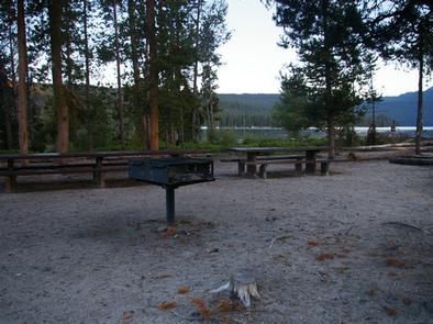
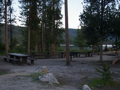
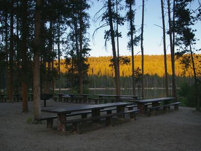
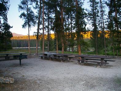
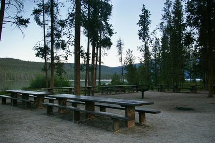
This day-use site offers two waterfront picnic sites. Site A can accommodate up to 100 people; Site B can accommodate up to 50 people. Vault toilets and drinking water are provided.
A designated swim beach is on-site. Sandy Beach Boat Ramp is less than 1/4 mile away. Firewood can be purchased at the picnic area.
Natural Features
Summer wildflowers are plentiful, lodgepole pines provide partial shade and Fishhook Creek is nearby. Temperatures are cool, with an average summer high of 78 degrees and a low of 40 degrees.
Nearby Attractions
The Sawtooth National Recreation Area offers a myriad of excellent hiking and biking opportunities, and an estimated 750 miles of trails crisscross the valley and surrounding mountains. .
The Salmon River offers excellent fishing for rainbow trout, Westslope cutthroat trout and occasional hybrid cutbows and bull trout.
Redfish Lake Lodge is nearby with a restaurant, general store, boat and kayak rentals, mooring services, lake tours and a lake shuttle.
Popular area events include an Arts and Crafts Fair in July, and Wagon Days, Salmon Festival, Quilt Fair, and Fireman’s Ball in September.