
Directions
From Warren, Pennsylvania, take PA-59 southeast. Turn right onto Longhouse Scenic Drive (Forest Road 262), then turn left onto State Highway 321 and continue to the campground on your left. Fromthe east, take PA-59 to PA-321 South and turn left. Continue down PA-321 S to the campground on your right. From Kane, take PA-321 North. Cross the Kinzua Arm of the reservoir on the big bridge and the campground will be on our left just past Red Bridge Bank Fishing.
Phone
814-368-4158
Activities
BOATING, CAMPING, FISHING, HIKING
Keywords
REPA,ALLEGHENY NF – FS
Related Link(s)
Pennsylvania State Road Conditions
Overview
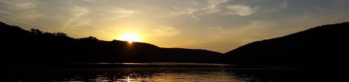
Red Bridge Campground sits on the eastern shore of the Kinzua Arm of the Allegheny Reservoir in northwest Pennsylvania, offering a peaceful getaway for families and outdoor enthusiasts.
Recreation
The campground offers swimming and bank fishing, with a boat launch nearby. For hikers, the North Country National Scenic Trail crosses SR 321 one-eighth of mile south of the campground. Over 4,000 miles long, the North Country National Scenic Trail stretches from New York to North Dakota. The Allegheny National Forest has nearly 100 miles of this trail between the New York state line and PA-66, maintained by volunteers from the Allegheny National Forest Chapter of the North Country Trail Association.
Facilities
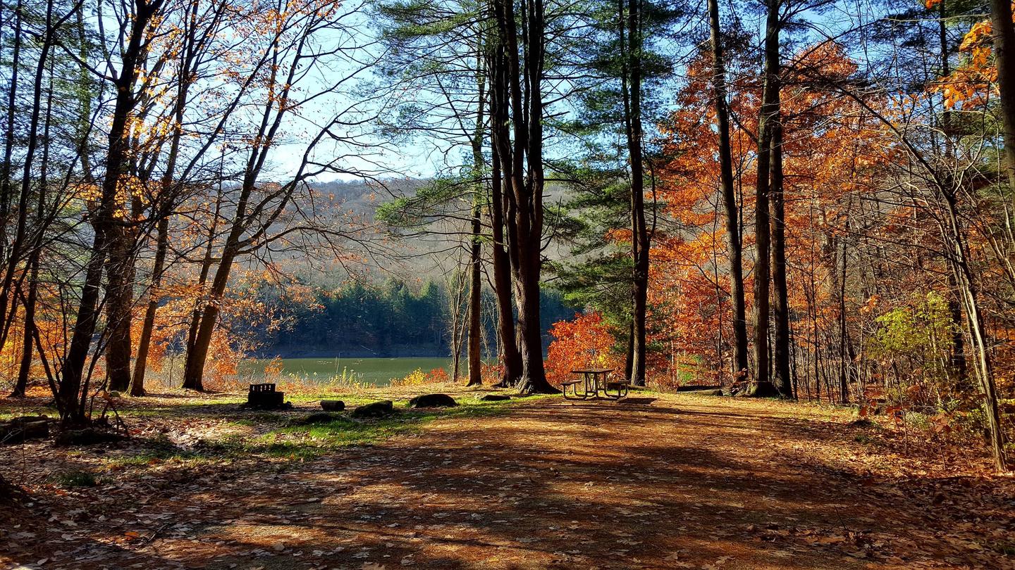
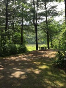
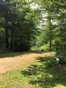
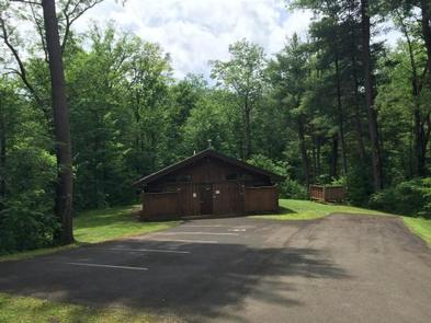
Red Bridge offers about 65 reservable campsites, each with a picnic table, fire ring and tent pad. Hot showers, vault and flush toilets, drinking water, and a dump station are provided. Some sites are waterfront while others have views of the water. Sites with electricity, water and sewage hookups are also available. Two sites have rentable cabins. Amenities such as firewood, ice, interpretive services and 24-hour campground attendants are offered at the site.
Natural Features
The Allegheny National Forest covers nearly half a million acres and is populated primarily with black cherry, maple and other hardwoods. The Kinzua Dam, built in 1965, impounds the Allegheny River to form the 25-mile-long Allegheny Reservoir. The campground is well wooded with mature black cherry, hemlock and birch trees. The grounds are off the Longhouse Scenic Byway, a 29-mile loop that circles the Kinzua Arm of the reservoir.