WHITE BRIDGE, UT Campground Reservation, Info, Images, Map, Directions

WHITE BRIDGE, Utah Campground Images, Info & Reservations

Directions

From Panguitch, Utah, take Highway 143 southwest for 12 miles. Campground is on the north side of the highway.

Phone

801-226-3564

Activities

CAMPING, FISHING, HIKING, HUNTING, WILDLIFE VIEWING

Keywords

WHIT,BRIAN HEAD RESORT,PANGUITCH LAKE,DIXIE NF – FS

Related Link(s)

Rec Area Info & Images

Utah State Road Conditions

Forest Service Concessionaire

Utah State Tourism

Overview

White Bridge Campground is located just 12 miles southwest of Panguitch, Utah and 55 miles northeast of Cedar City. Visitors enjoy fishing, canoeing on nearby Panguitch Lake and exploring local trails.

Recreation

Campers enjoy fishing for rainbow trout in Panguitch Creek. Hiking and biking are popular activities around the campground. The Panguitch Lake ATV Trail System offers 100+ miles of trails and can be accessed nearby.

Facilities

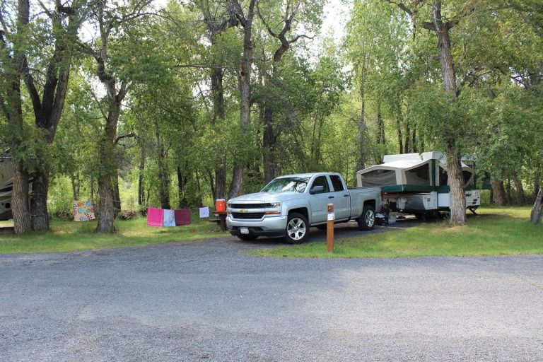
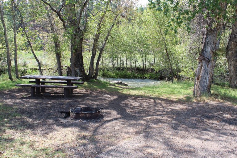
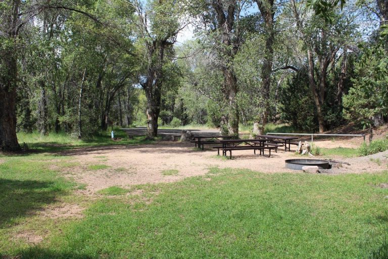
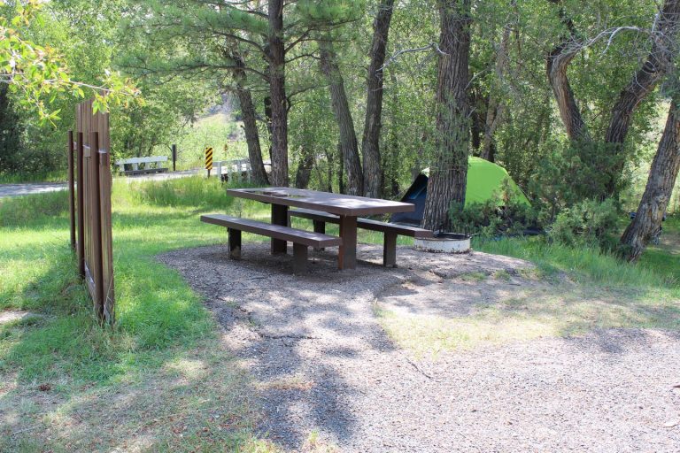
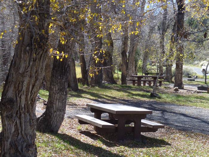
White Bridge offers several family campsites. The sites along the creek have natural shade, while the sites across the loop road are more open and equipped with picnic shelters for shade. Flush and vault toilets are provided, as is drinking water and a dump station.

OHV/ATV’s including street legal are allowed in the campground for ingress and egress only (to and from your campsite to the road). Joy riding in the campground is not allowed.  

Natural Features

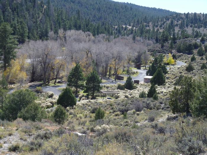
The campground is situated high on the Colorado Plateau at an elevation of 7,900 feet. Panguitch Creek runs alongside the campground. Cottonwoods line the creek and aspens, pinion and juniper dot the sagebrush-covered landscape.

Nearby Attractions

White Bridge is just 6 miles from Panguitch Lake. Some of the state’s largest rainbow trout are fished from the lake each year, and aptly so; “Panguitch” comes from the Paiute word meaning “big fish.”

Anglers will also find brook, cutthroat and brown trout. Canoeing is a popular activity on this small body of water. Boat ramps are located on the south shore and at Wildlife Point.

Cedar Breaks National Monument, with hiking trails and guided tours, is 16 miles from White Bridge.

Just outside Cedar Breaks is the Ashdown Gorge Wilderness Area, where hikers will find 10 miles of trails and the Twisted Forest, a stand of ancient bristlecone pine.

Bryce Canyon National Park is just over an hour away, with breathtaking scenery and excellent hiking opportunities.

Reservation

More from CampingHiking.net:

CEDAR CREEK (TN), Tennessee Campground Images, Info & Reservations

Directions From Nashville, TN. Travel East on I-40 to exit 221A. Continue onto TN-45/Old Hickory Blvd. Turn right onto US-70/Lebanon Pike. Turn left onto Nonaville Road and travel until reaching a 4-way stop. Turn right at the 4-way stop onto Saundersville Road. The recreation area will be at the end

TUMWATER GROUP SITE, Washington Campground Images, Info & Reservations

Directions From the west, take Highway 2 east through Monroe and over Stevens’ Pass. The Tumwater campground is approximately 20 miles east of the top of Stevens’ pass, on the left side of the highway. From the east, take Highway 2 west through Leavenworth. The campground is 10 miles west

SLIDE GROUP AREA, New Mexico Campground Images, Info & Reservations

Directions Located in southeast New Mexico, Slide Group Area is approximately 20 miles east of Alamogordo. From Alamogordo, take Highway 82 east 16 miles. Just before Cloudcroft, turn right (south) on Highway 130, go approximatley 2 miles. Turn right (west) on NM 6563, the Sunspot Highway Go approximately 1/4 miles.

KELSEY CAMPGROUND, Colorado Campground Images, Info & Reservations

Directions From Denver, take Highway 285 southwest to Pine Junction and turn south on Jefferson County Road 126. Travel approximately 17 miles to the campground. Phone 303-275-5610 Activities BIKING, CLIMBING, CAMPING, HIKING, WILDLIFE VIEWING Keywords KELS,PIKE AND SAN ISABEL NF- FS Related Link(s) Rec Area Info & Images Colorado State

CAL-IDA, California Campground Images, Info & Reservations

Directions From Downieville, travel south on Highway 49 for about 13 miles. The campground is on the right side of the highway. Phone (530)478-6253 Activities BIKING, BOATING, CAMPING, FISHING, HIKING, HUNTING Keywords CALI,TAHOE NF – FS Related Link(s) Rec Area Info & Images California State Tourism California State Road Conditions