
Directions
The PA DOT has issued a detour for camping rigs over 5 tons for Wilson Run Bridge on Township Road providing access from Highway 321 to Twin Lakes. The alternate route is Forest Road 191 heading west from the campground.
Northwest PA on State Route 321 about 8 miles south of Kane, PA. From State Route 321 at large campground sign, turn onto Forest Road 191. Go 2 miles on Forest Road 191 to the campground. Railroad underpass on entrance road restricts vehicle height to less than 10 feet.
Phone
(814) 368-4158
Activities
CAMPING, FISHING, HIKING, SWIMMING SITE
Keywords
TWI1,ALLEGHENY NF – FS
Related Link(s)
Pennsylvania State Road Conditions
Overview
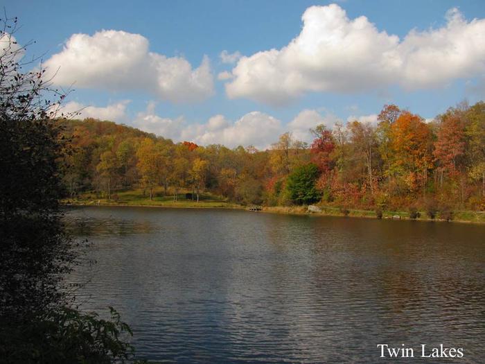
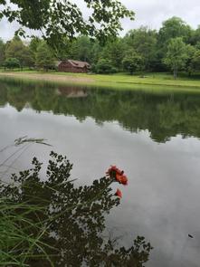
Twin Lakes Campground is located near a small, spring-fed, trout-stocked lake, popular with families. Visitors enjoy fishing, swimming and exploring local trails, including the Twin Lakes Trail.
Recreation
Campers love Twin Lakes for its swimming beaches and lakeside fishing piers. Mill Creek offers native trout fishing, and can be accessed along the Mill Creek Trail.
Hiking and backpacking are available along area trails. The Black Cherry National Recreation Interpretative Trail features nearly 40 interpretive displays along its path, and forms the eastern end of the Twin Lakes Trail, the second longest in the forest.
Facilities
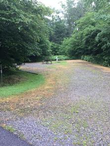
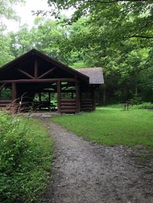
Twin Lakes Campground offers a variety of sites, from group picnic and overnight sites to family sites with and without electric hookups. Amenities include flush and vault toilets, showers, drinking water and a dump station. Ice and firewood are available for purchase.
Natural Features
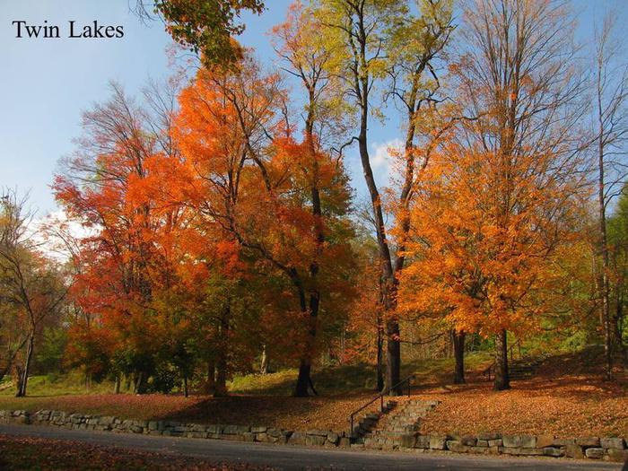
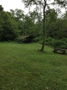
The Twin Lakes area is forested with a mixture of hardwoods. Many natural streams and creeks meander through the landscape within the Allegheny National Forest in northwestern Pennsylvania.
The Allegheny is the state’s only national forest. It covers nearly half a million acres and is populated primarily with black cherry, maple and other hardwoods.