
Directions
From Payson, take Highway 260 northeast toward Heber. Take a left at the sign for Woods Canyon Lake (Rim Road/Forest Road 300). Follow for about 5 miles and turn right onto the paved road at the sign toward Woods Canyon Lake (there is no road sign). Aspen Campground is about 1 mile down the road on the left.
Phone
928-535-9859
Activities
BOATING, CAMPING, INTERPRETIVE PROGRAMS, HIKING, PICNICKING, PADDLING, CANOEING, EVENING PROGRAMS, GUIDED INTERPRETIVE WALKS, AMPHITHEATER
Keywords
ASPE,APACHE-SITGREAVES NF-FS
Related Link(s)
Overview
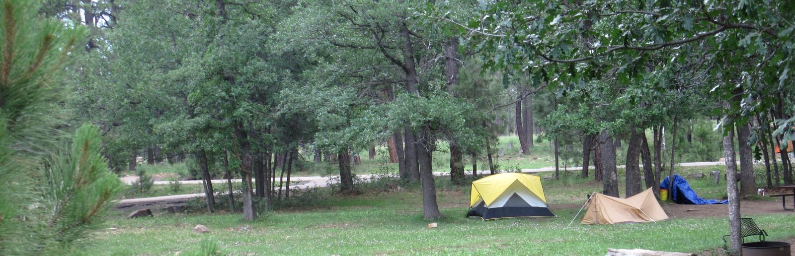
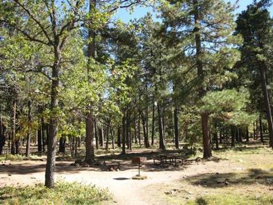
Aspen Campground is a scenic hideaway for anglers, boaters, families and photographers, located in north central Arizona near Heber and Payson. It sits in a dense pine and aspen area forest near the shore of Woods Canyon Lake at an elevation of 7,000 ft. With spacious campsites, calm and scenic lake waters, a marina, boat ramp and many amenities, Aspen is one of the most popular camping spots in Arizona.
Recreation
Popular activities include trout fishing, hiking, boating and photography. Woods Canyon Lake is one of seven lakes in the Rim Lakes Recreation Area, and one of the most visited. Two other lakes are within a short drive. Woods Canyon Lake only allows electric boat motors.
An easy hiking trail meanders around the lake, and the campground’s paved roads make for great bike rides. Families might also enjoy attending educational programs given by Forest Service rangers on the weekends.
Facilities
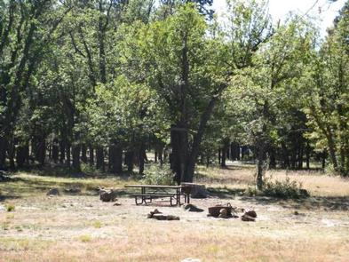
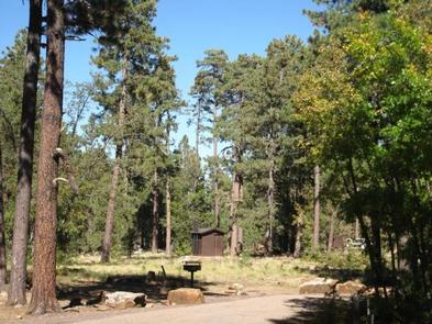
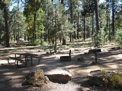
Aspen Campground is a large facility with 148 campsites. It is composed of four loops in alternating meadow and wooded areas, and campsites are spaced well apart from each other.
The nearest showers are 10 miles away at Canyon Point Campground.
A marina with a full service store with groceries, boat rentals and firewood is available at the lake. Gas, phone and groceries are also available in nearby Forest Lakes.
Natural Features
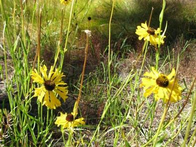
The large and rambling campground offers several camping experiences and environments from marshy meadows to a rocky forest. Wildlife viewing includes birds, squirrels, deer and elk. Deer, skunks and bears are common campground visitors.
Summer temperatures can be very pleasant because of the elevation. However, the rainy season often brings afternoon thunderstorms from late June through August. Visitors should come prepared for rain and cool nighttime temperatures.
Nearby Attractions
Visitors can explore endless vistas and take part in many outdoor activities in the surrounding Apache-Sitgreaves National Forest, which encompasses 2 million acres of magnificent mountain country in east-central Arizona and New Mexico. The Mogollon Rim Visitor Center, open weekends from Memorial Day through Labor Day, is only a short drive from Aspen Campground. Visitors can find an informative staff as well as books and gifts related to the local area. The nearest towns are Heber and Payson.