
Directions
From Phoenix, Arizona: Traveling Northbound on I-17 take Exit 262 onto Hwy 69 North to Prescott and cointnue on Hwy 69 for 41 miles. Turn onto South Mt. Vernon Avenue (a.k.a Senator Highway) and drive south for about 6 miles. Pass the entrance to Goldwater Lake and the community of Groom Creek. The pavement ends about 500 feet before Forest Road 97. Turn right onto Forest Road 97 and travel for another 0.75 miles to the group campground on the right. Forest Road 97 is unpaved but suitable for all vehicles during dry road conditions.
Alternate route from Flagstaff, Arizona: Traveling Southbound on I-17 take Exit 278 onto Westbound Highway 169 and continue for 15 Miles until reaching the junction of Hwy 69, turn right onto Northbound Hwy 69 and continue for 15 miles until arriving in Prescott. Turn onto South Mt. Vernon Avenue (a.k.a Senator Highway) and drive south for about 6 miles. Pass the entrance to Goldwater Lake and the community of Groom Creek. The pavement ends about 500 feet before Forest Road 97. Turn right onto Forest Road 97 and travel for another 0.75 miles to the group campground on the right. Forest Road 97 is unpaved but suitable for all vehicles during dry road conditions
Alternate route from Prescott: Take Hwy 89 (White Spar Road) south for about 6 miles to Forest Road 97. Turn left on Forest Road 97 and go another 5.5 miles to the campground you will pass through the Ponderosa Park community along the way.
Phone
1 (877) 444-6777
Activities
BIKING, BOATING, CAMPING, FISHING, HIKING
Keywords
UPWC,PRESCOTT NF – FS
Related Link(s)
Overview
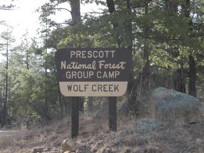
Upper Wolf Creek Group Campground provides a quiet forest setting for groups of up to 100 people to camp and enjoy the outdoors. The historic town of Prescott, Arizona is just 8 miles away. This facility is set away from other developed recreation sites and offers town amenities, trails and lake recreation within minutes. To make reservations click on the availability button to the right to book this site or call 1 (877) 444-6777. For general campground questions contact the Bradshaw Ranger District at 1 (928) 443-8000.
Recreation
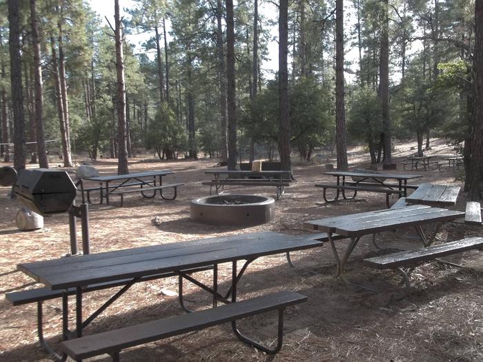
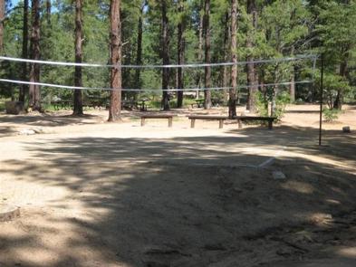
Within the facility, campers can relax with a game of volleyball( net not provided ) or horseshoes. Numerous hiking and mountain biking trails are found in the Bradshaw Mountains around the campground, and 15-acre Goldwater Lake is just a few miles away. Boaters, canoers and kayakers can make use of the lake’s dock and boat ramp. Anglers try for trout, sunfish, crappie, largemouth bass and channel catfish in the calm waters.
A drive down unpaved Forest Road 97 reveals mountain views and passes through a burn scar from a 2002 wildfire.
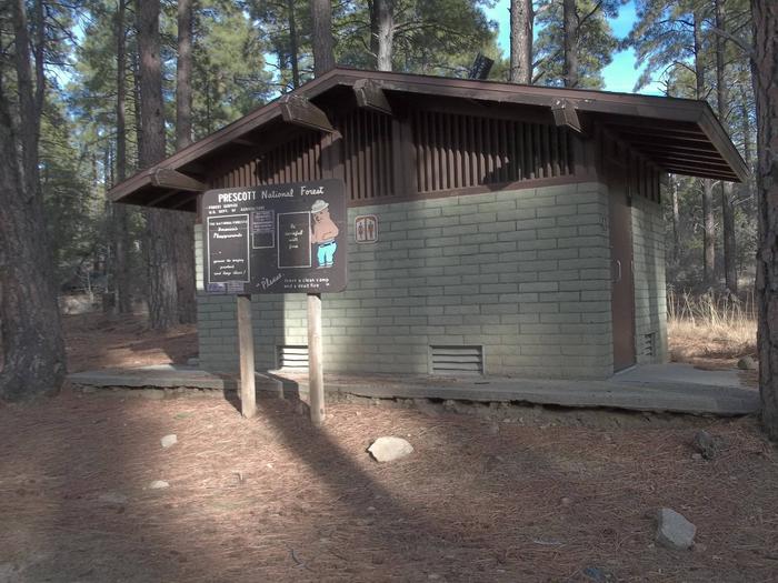
Facilities
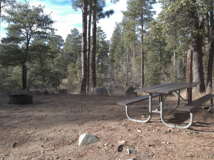
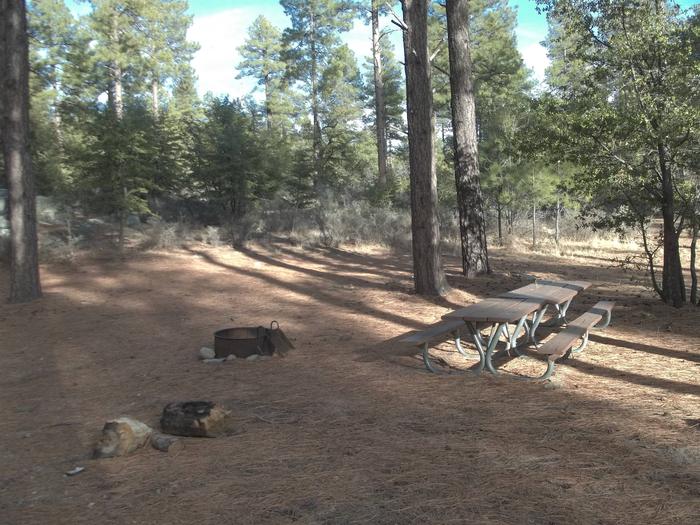
The group site has 13 picnic tables, five grills and one campfire ring. Trees are thinly spaced in some areas, allowing ample space for group activities, RV parking (up to 40 ft.) and camping. Drinking water and hookups are not provided.
Natural Features
The group area is set at an elevation of 6,000 feet in a ponderosa pine forest mixed with juniper, Gambel oak, native grasses. Boulders are strewn throughout the area. A multitude of colorful wildflowers bloom in the spring and during the summer monsoon season. Goldwater Lake is nearby.
The forest is home to a wide variety of wildlife. Visitors may have the chance to spot deer, mountain lions, bobcats, coyotes, fox, rabbits, lizards, snakes and birds.
Afternoon thunderstorms are possible from late June through mid-September.
Nearby Attractions
This site is a convenient camping spot for groups who reserve the Groom Creek Schoolhouse day use picnic area nearby.