
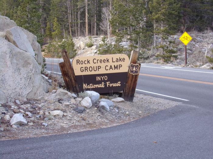
Directions
Directions from Mammoth Lakes, California: Drive south on U.S. Highway 395 for approximately 13 miles. Take the Tom’s Place exit and proceed west up the canyon for about 10 miles. At the lake, follow the signs to the boat dock and group camp.
Directions from Bishop, California: Travel north on U.S. Highway 395 for about 30 miles. Turn left at the Tom’s Place exit and proceed west up the canyon for about 10 miles. At the Lake, follow the signs to the boat dock and group camp.
Phone
760-873-2500
Activities
BOATING, CAMPING, FISHING, HIKING, HORSEBACK RIDING, PICNICKING, WILDLIFE VIEWING
Keywords
ROCC,INYO NF – FS
Related Link(s)
California State Road Conditions
Overview
Rock Creek Lake Group Campground is adjacent to the main Rock Creek Lake Campground. This tent-only site is located near Bishop, Tom’s Place and Mammoth Lakes, California in Inyo National Forest.
The high-elevation campground offers a private setting on the banks of scenic Rock Creek Lake in the eastern Sierra Nevada Mountains – a perfect location for limitless mountain recreation opportunities.
Fishing, camping, hiking, photography, wildlife viewing and horseback riding at the nearby pack station are popular.
Recreation
Rock Creek and other waterways in the eastern Sierra Nevada Mountains are known for exceptional trout fishing. A catch from the lake may including brook, brown, rainbow and stocked Alpers trout, while anglers may be treated to hook golden trout in the backcountry. Power boats are limited to electric motors on the lake.
The area’s majestic scenery and challenging trails are an obvious draw for hikers, mountain bikers and horseback riders. The Tamarack Trail begins in the campground and wanders up to several high-elevation, glacially-carved alpine lakes and ponds.
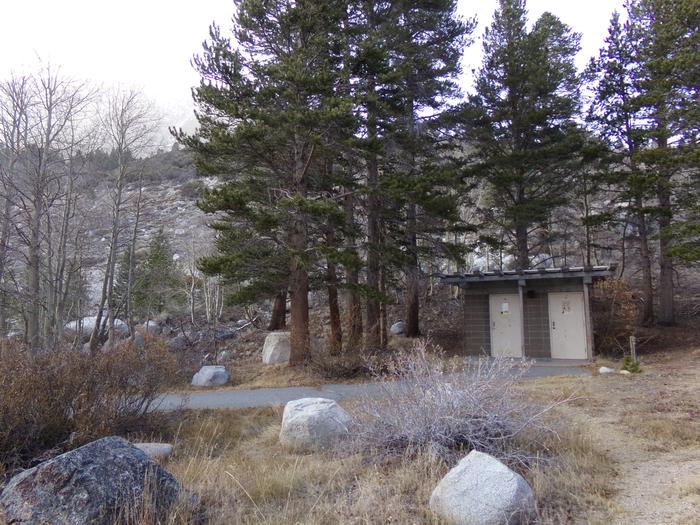
Facilities
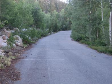
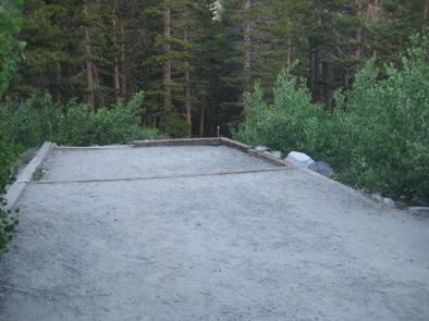
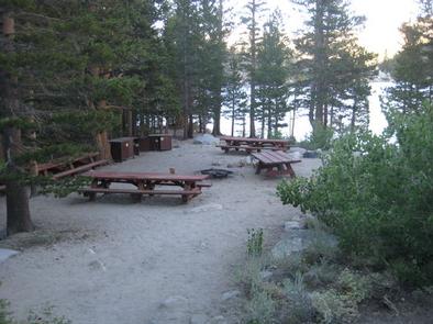
The group camping area is separate from the main campground, offering plenty of privacy. It can accommodate up to 25 people at a time and is tent-only. No RVs are allowed at the campground, as the site requires visitors to walk from the parking area. There is no trash collection.
Natural Features
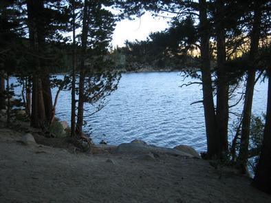
The group site is nestled in a pine forest, perched on the shore of Rock Creek Lake with a view of the water through the trees.
The area is home to abundant wildlife, including black bear, mountain lions, mule deer, pine martin, pika and many species of fish and birds.
Nearby Attractions
Near the campground, visitors can access the magnificent John Muir Wilderness, which stretches for 100 miles along the crest of the Sierra Nevada Mountains.
It is a land of lofty snow-capped mountains, deep canyons and vast expanses of glacially-carved terrain, and offers extensive hiking, mountain biking and horseback riding trails.