Directions
Take Highway 93 in New Hampshire to exit 28. Travel east on Highway 49 to Tripoli Road for 10 miles, and turn left onto Tripoli Road. Pass the Waterville Campground entrance sign, continue for 1.5 miles and bear right at the Mt. Tecumseh sign. Continue 1.6 miles to the Osceola Vista entrance on the right.
Phone
603-536-6100
Activities
BIKING, BOATING, CAMPING, HIKING, HORSEBACK RIDING, WINTER SPORTS
Keywords
OSCE,WHITE MOUNTAIN NF -FS
Related Link(s)
New Hampshire State Road Conditions
Overview
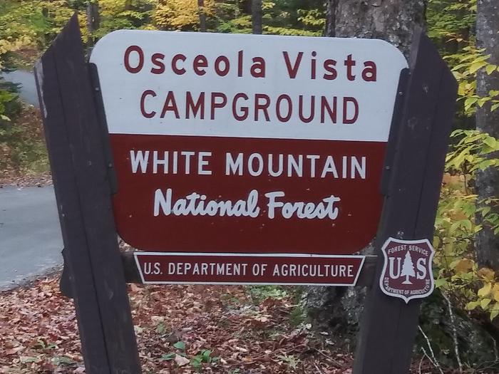
Osceola Vista is a popular spot for group camping and is located near a host of outdoor activities, including hiking, mountain biking, canoeing and golfing.
Just minutes away, hiking enthusiasts will find the Sandwich Range Wilderness and 80 miles of the White Mountain National Forest’s prime hiking trails.
The White Mountains boast pristine forests, clear mountain streams and rivers and the tallest peaks in the Northeast. The forest encompasses nearly 800,000 acres in New Hampshire and western Maine, and is one of the most popular in the country.
Recreation
Entrances to the Greeley Ponds National Scenic Area and Sandwich Range Wilderness are minutes away, much to the delight of hikers. Also convenient are two above tree-line hikes within eight minutes of the campground.
Just a few miles away at Campton Campground, curious campers can attend evening educational programs. Those who need a break from the woods can visit the resort down the road.
Learn more about recreation in the national forest.
Facilities
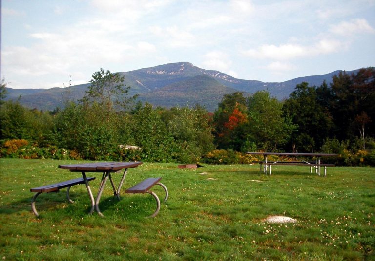
This small campground features large open sites designed for bigger than average camping parties and large organized groups (up to 30 or 60 people per site). A mix of group, standard and tent-only sites are organized around a single loop. Showers are available 10 minutes away at Campton Campground.
Natural Features
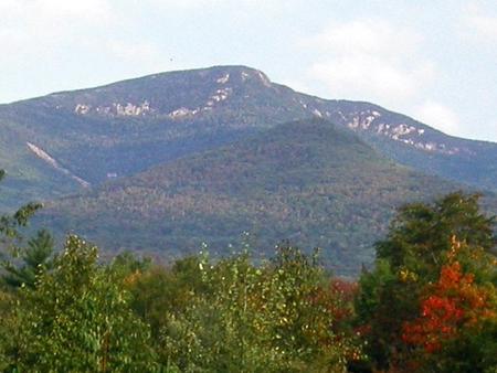
The campground lies amidst northern hardwood forests, giving campsites a mix of sun and shade. The area is surrounded by mountains and close to the Mad and Winnipesaukee Rivers.
The national forest is home to many species of northern wildlife, including moose, white-tailed deer and black bear. Almost 200 species of birds, including the rare Bicknell’s Thrush, live in the White Mountains.
Nearby Attractions
The campground is located in close proximity to Waterville Valley Resort, which offers nightlife, summer concert tours, restaurants, horseback riding, canoeing, mountain bike rentals and shops.


