KIT PRICE, ID Campground Reservation, Info, Images, Map, Directions

KIT PRICE, Idaho Campground Images, Info & Reservations

Directions

From Coeur d’Alene, drive 28 miles east on Interstate 90, then 26 miles north (Kingston exit) on paved Forest Road #9, then 11 miles north from Prichard on paved Forest Road 208.

Phone

435-245-6521

Activities

CAMPING, FISHING, HIKING, SWIMMING SITE

Keywords

KITP,IDAHO PANHANDLE NF – FS

Related Link(s)

Rec Area Info & Images

Idaho State Tourism

Forest Service Concessionaire

Idaho State Road Conditions

Overview

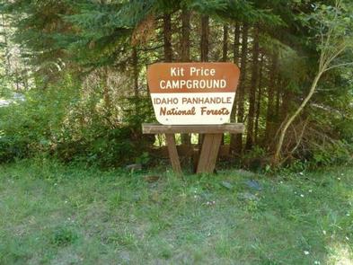
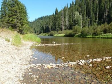
Kit Price is a beautiful campground overlooking the North Fork Coeur d’Alene River. Campers enjoy the benefits of the river by fishing along the banks, swimming and floating. Hiking is also a great way to see mountain views.

Recreation

Tubing, swimming and kayaking on the North Fork Coeur d’Alene River are popular summertime activities. Rafters like to head downstream for the class I-III rapids. Catch and release fishing for cutthroat trout is also popular.
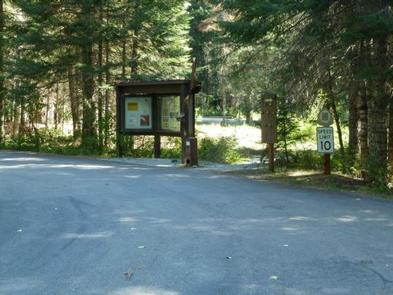
Facilities

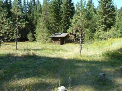
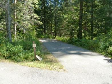
Amenities include picnic tables, grills, paved parking spurs, accessible vault toilets and drinking water. Kit Price does not have electric hookups.

Natural Features

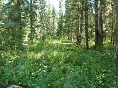
The campground is situated along the North Fork Coeur d’Alene River at an elevation of 2,550 feet. Campsites are in a meadow like setting, in full to partial sun, in the river bottom of the Coeur d’Alene Mountains. Popular Coeur d’Alene Lake is about 65 miles west of Kit Price. Wildlife in the region includes mule deer, moose, osprey and calliope hummingbirds.

Reservation

More from CampingHiking.net:

SUSQUEHANNOCK, Pennsylvania Campground Images, Info & Reservations

Directions From Huntingdon, Pennsylvania, take Route 26 south for 6 miles. Turn left onto Seven Points Drive and continue 3 miles. Turn left again onto Baker’s Hollow Road. Campground entrance is two miles ahead on the right. Phone 814-658-6806 Activities BIKING, BOATING, CAMPING, FISHING, HIKING, WILDLIFE VIEWING Keywords SUSQ,RAYSTOWN LAKE,RAYSTOWN

LOWRY CAMPGROUND, Colorado Campground Images, Info & Reservations

Directions From I-70, take exit 205. Travel east on Highway 6 towards Keystone, Colorado, for approximately 3 miles. Turn right on Swan Mountain Road and proceed 1.5 miles to the Lowry Campground sign. Turn left and proceed a half mile to the campground. Phone 970-468-7681 Activities BOATING, CAMPING, FISHING, HIKING,

BAY VIEW, Michigan Campground Images, Info & Reservations

Directions 19456 W Lakeshore Drive, Brimley MI 49715 From Brimley, Michigan, travel west on County Road 42/Whitefish Bay Scenic Byway for approximately 8 miles. Bay View is on the north side of the road. Phone 906-203-9872 Activities HISTORIC & CULTURAL SITE, CAMPING, HIKING, SWIMMING SITE Keywords BYVW,Superior Lake Campground,Lake Superior

NEWHALEM CAMPGROUND, Washington Campground Images, Info & Reservations

Directions Newhalem Campground is located at mile marker 120 on State Route 20. From Burlington, WA, drive 60 miles east on State Route 20. From Twisp, WA, drive 82 miles west on State Route 20. Phone (360) 854-7200 Activities BIKING, HISTORIC & CULTURAL SITE, CAMPING, INTERPRETIVE PROGRAMS, HIKING Keywords NEWH,North

LOCKABY, Oregon Campground Images, Info & Reservations

Directions From Estacada, take Highway 224 east for 15 miles to the campground. Phone 503-630-5721 Activities BOATING, CAMPING, FISHING, HIKING, WATER SPORTS, WILDLIFE VIEWING Keywords LOCK,MT. HOOD NF – FS Related Link(s) Rec Area Info & Images Oregon State Road Conditions Oregon State Tourism Forest Service Concessionaire Overview Lockaby Campground

ORANGE OLSEN, Utah Campground Images, Info & Reservations

Directions From Orangeville, Utah, proceed west on Utah Highway 29 for approximately 10 miles to Joes Valley Reservoir. Continue on Hwy 29 around the north end of the reservoir to Forest Road 0144 where a sign directs you to Orange Olsen Administrative Site. Turn right (north) on this gravel road