Directions
In Salt Lick, KY, at the intersection of State Route 211 and U.S. Route 60, take Route 211 south for 3.6 miles to the Forest Recreation sign. Turn left at the sign, onto Clear Creek Road and go 3.9 miles to Zilpo Campground sign. Turn left at the sign onto Forest Route 918 and drive 8.7 miles to the campground.
Phone
606-768-2722
Activities
BOATING, HISTORIC & CULTURAL SITE, CAMPING, HIKING, SWIMMING SITE
Keywords
ZILP,CAVE RUN LAKE,CAVE RUN PARK,ZILPO,ZILPO DANIEL BOONE NAT FOR,DANIEL BOONE NF-FS
Related Link(s)
Kentucky State Road Conditions
Overview
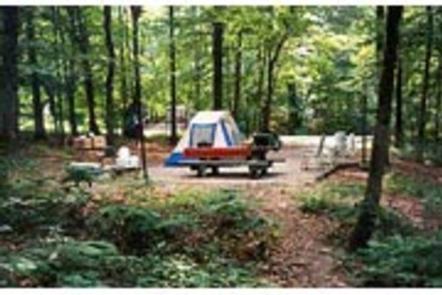
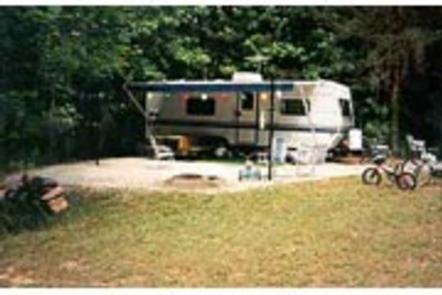
Zilpo, a large, fun-filled campground on Cave Run Lake, is a prime destination for families. The scenic campground offers a cabin rental, tent camping, RV sites with electric hookups and a selection of lakefront sites.
Views of the lake are enjoyed by those who relax on the sandy beach. Tater Knob, a fire tower open to the public, is nearby, offering outstanding views of the area.
Recreation
Water skiing and swimming are wonderful ways to enjoy the lake. Muskie, large and smallmouth bass, bluegill, crappie and catfish attract avid anglers. Hikers are fans of the Zilpo Mountain Loop Trail that extends for 2.25 miles, connecting to a network of other trails around the lake.
Nature programs are regularly scheduled during peak season and wildlife watching is rewarding.
Facilities
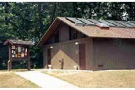
Electric hookups are provided at some campsites. Drinking water is located centrally within the loops. Flush toilets and showers are spread throughout the campground as well. Each site has a picnic table and campfire ring. A dump station and concrete boat ramp are also included.
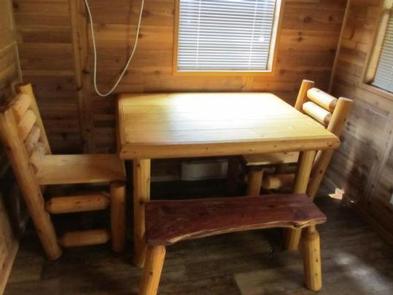
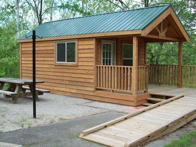
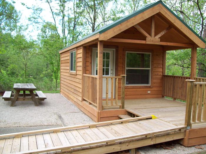
Each of the 12 cabins can accommodate up to six guests. They each have a table, two chairs and a sleeping area with two sets of bunk beds (4 beds). A picnic table, lantern post and campfire ring are provided outside. Pets may reside only in cabins 41,120,121 and 123. Cabins 109, 123 and 136 have ramps that can accommodate wheel chairs.
A campground store with ice, firewood, camping gear and food is on-site. Roads are paved and level tent pads are gravel.
Natural Features
Zilpo sits on a peninsula in the middle portion of Cave Run Lake at an elevation of 800 feet. The lake spans 8,270 acres with soft, sandy beaches. The campground is shaded by a stand of mixed hardwoods, and campsites have good privacy.
Nearby Attractions
The nearest community is 12 miles away.

