
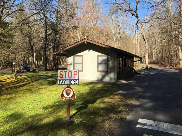
Directions
There is no street address for the campground.
From Cherokee, NC: Take Newfound Gap Road (aka US 441) North 6 miles. Turn right at campground sign.
From Gatlinburg, TN: Take Newfound Gap Road (aka US 441) South 27 miles. Turn left at campground sign.
Phone
828-497-9270
Activities
BIKING, HISTORIC & CULTURAL SITE, CAMPING, INTERPRETIVE PROGRAMS, FISHING, HIKING, HORSEBACK RIDING, VISITOR CENTER, WILDLIFE VIEWING
Keywords
CG23,Great Smokey Mountains National Park,Great Smokey National Park,Great Smoky Mountain National Park,Great Smoky Mountains National Park
Related Link(s)
National Park Services Concessionaire
North Carolina State Road Conditions
Overview
Situated in the stunning Great Smoky Mountains National Park, this campsite offers an ideal setting to enjoy the outdoors.
Ridge upon ridge of forest straddles the border between North Carolina and Tennessee in Great Smoky Mountains National Park. World-renowned for its diversity of plant and animal life, the beauty of its ancient mountains and the quality of its remnants of Southern Appalachian culture, this is America’s most visited national park.
Recreation
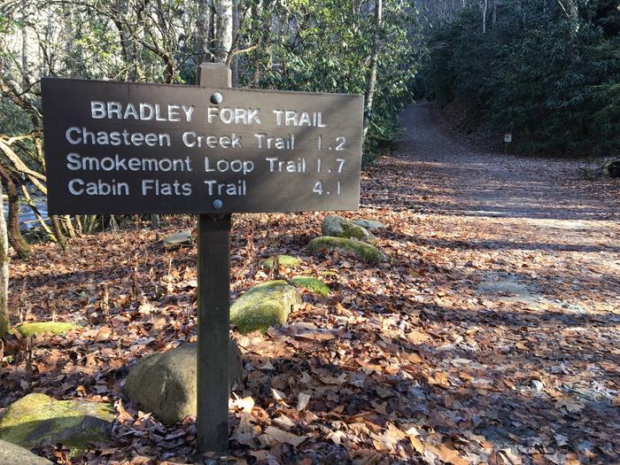
Great Smoky Mountains National Park is a hiker’s paradise, offering over 800 miles of maintained trails ranging from short, leg-stretchers to strenuous treks, with a number of those trails easily accessible from the picnic area. But hiking is not the only reason for visiting the Smokies: Fishing, picnicking, wildlife viewing and auto touring are also popular activities.
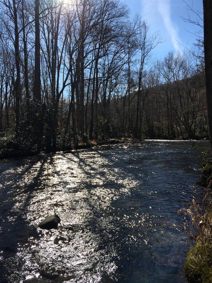
Campers can enjoy high-quality backcountry fishing in the cool waters of the countless streams and rivers that snake through the mountains, with trout available in abundance. The nearby Bradley Fork River provides a great place to go for a dip or fish for trout.
Wildlife viewing is a popular pastime, and with around 1,500 bears living in the park, it’s not uncommon for visitors to spot one. The park is a sanctuary for a magnificent array of animal and plant life, all of which is protected for future generations to enjoy.
The park also holds one of the best collections of log buildings in the eastern United States. Over 90 historic structures, including houses, barns, outbuildings, churches, schools and grist mills, have been preserved or rehabilitated in the park.
Facilities
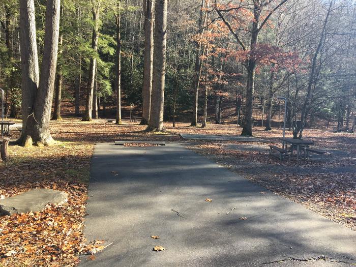
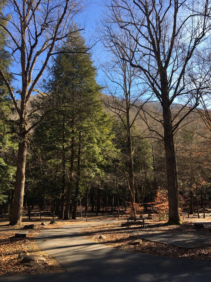
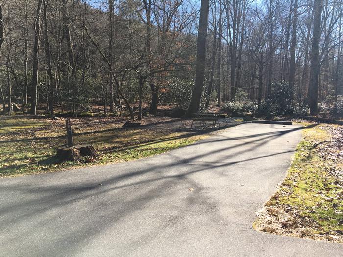
Smokemont Campground offers an unforgettable outdoor experience with the added convenience of flush toilets, drinking water and sinks. There are campsites for tents as well as RVs available, and tent pads, grills and fire rings are provided. There is also a flat, grassy area that is perfect for group activities like football, volleyball, or simply soaking up the sun.
Natural Features
Smokemont Campground is surrounded by picturesque mountain ranges, with pristine mountain streams and rivers setting the backdrop for your camping adventure. Whether blanketed in spring wildflowers or vivid fall colors, the scenery at Smokemont never disappoints.
At 2,200 feet, Smokemont provides a moderate climate, characterized by mild winters and hot, humid summers.
Great Smoky Mountains National Park preserves a rich cultural history of Southern Appalachia. From the prehistoric Paleo Indians to the early European settlements in the 1800s, the park strives to protect its historic structures, landscapes and artifacts that tell the stories of the people who once called these mountains home.
Nearby Attractions
The Museum of the Cherokee Indian, Oconaluftee Indian Village and Qualla Arts and Crafts Mutual, located 6 miles away in Cherokee, North Carolina, provides cultural and historical information about the Eastern Band of Cherokee Indians. Cherokee also has fuel.