Directions
From Atlanta, GA, take SR 400 N to Exit 16, turn right on Pilgrim Mill Rd., turn right on Sinclair Shoals Rd., turn left on Bald Ridge Rd. Follow signs into campground.
Phone
770-889-1591
Activities
BIKING, BOATING, CAMPING, FISHING, SWIMMING SITE, KAYAKING, WATER ACCESS
Keywords
BALR,LAKE LANIER,BALD RIDGE,BALL RIDGE,LAKE SIDNEY LANIER
Related Link(s)
Overview
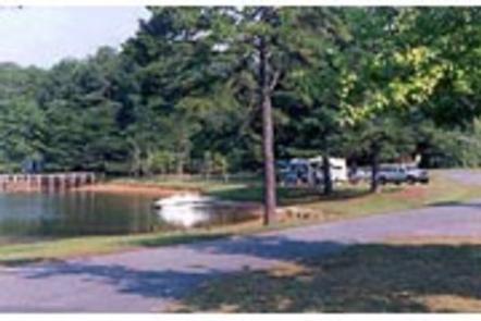
Bald Ridge Creek Campground is on Lake Sidney Lanier, popular for its aqua-blue waters and spectacular scenery. Each year, over 11 million visitors travel to Lake Sidney Lanier for fantastic fishing and boating on the beautiful reservoir in northern Georgia.
Recreation
Bald Ridge Creek Campground offers many outdoor recreation opportunities including fishing, swimming, and bike riding. On the lake there are opportunities for wake boarding, kayaking, boating and much more. There’s also a swimming beach and boat ramp available for campers.
Facilities
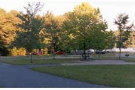
The 82 campsites come with electric and water hookups (no sewer hookups). Additional conveniences in the well-maintained park include a dump station, laundry facilities, and restrooms/bathouses.
Natural Features
Lake Sidney Lanier is nestled in the foothills of the Georgia Blue Ridge Mountains. The lake features 692 miles of shoreline and spans 38,000 surface water acres and 17,000 acres of lush terrain. The reservoir was created in 1956 with the completion of Buford Dam on the Chattahoochee River.
Nearby Attractions
By boat, there’s plenty of coves and islands to explore on the lake. For land activities, head to the Sawnee Mountain Preserve for hiking, rock climbing and an interactive visitors center for kids. The city of Cumming is nearby and has shopping, restuarants, a fairground and much more.
Charges & Cancellations
Cancellations must be made via the online/phone reservation system or in person at the gatehouse. Cancellation calls to the gatehouse will not be honored.


