
Directions
From Gillham on Hwy 71, go east on Tower Rd. for 1.3 miles; Turn left onto Gillham Lake Rd. for 4.3 miles; Turn left onto Polk Road 474 for 1.7 miles.
Phone
870-385-7126
Activities
BOATING, CAMPING, FISHING, HIKING, HUNTING, SWIMMING SITE
Keywords
BIGC,GILLHAM LAKE,GILLHAM LAKE
Related Link(s)
Arkansas State Road Conditions
Overview
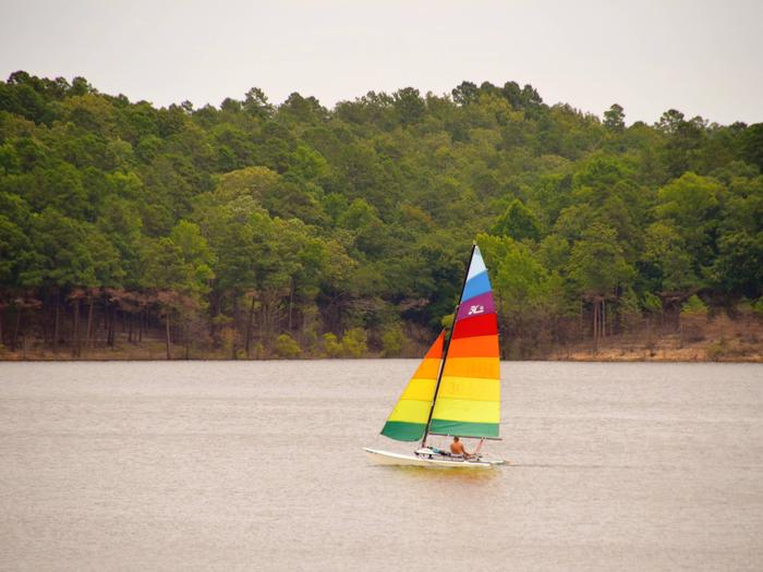
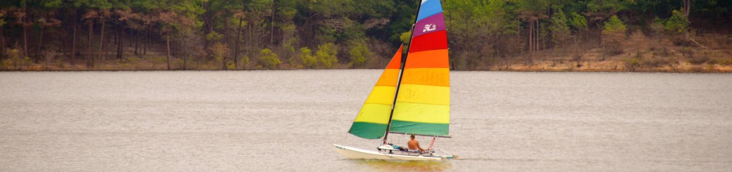
Big Coon Creek Campground sits along the lush banks of Gillham Lake in southwest Arkansas.
Nicknamed the “Bright Spot on the Cossatot,” Gillham Lake is a recreational oasis for outdoor enthusiasts.
Recreation
Visitors enjoy the lake for its vast boating opportunities, and a boat ramp is provided for easy water access. The river can be canoed from a point below the dam to U.S. Highway 71 South, a distance of about 16 miles. For shorter canoe trips, there are access roads to the river at Mize Crossing and Ladd Bridge.
Anglers will find smallmouth, largemouth, and spotted bass, saugeye, crappie, channel and flathead catfish and various species of sunfish in the river. Fly fishing is also a popular pastime.
Hunting is allowed north of Little Coon Creek Park and on the eastern shore of the lake. Check with the Arkansas Game and Fish for Season Dates and Regulations.
Facilities
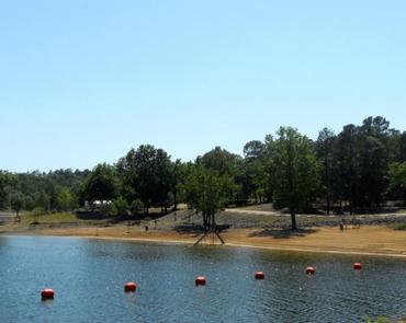
Coon Creek provides 32 sites, each with water and 50-amp electric hookups. Additional amenities include hot showers, a boat ramp, swimming beach, dump station and a playground.
Natural Features
Gillham Lake spans 1,370 surface acres and boasts 36 miles of shoreline. The lake stems from the Cossatot River, designated as a National Wild and Scenic River.