
Directions
From Nashville, TN, travel North on I-65 and take TN-386/Vietnam Veterans Blvd. Continue to exit 12, Big Station Camp Blvd. Turn right onto Big Station Camp Bldvd. Continue staight across Nashville Pike onto Cages Bend Road. Take Cages Bend Road to Benders Ferry Road. The recreation area will be ahead on the left.
Phone
615-824-4989
Activities
BOATING, CAMPING, FISHING
Keywords
CAGE,OLD HICKORY LAKE,OLD HICKORY LAKE
Related Link(s)
Tennessee State Road Conditions
Overview
Cages Bend Campground is located on the shores of Old Hickory Lake, offering campers the opportunity to enjoy activities with a beautiful scenic backdrop. Water recreation is the major attraction for lake-goers, but with white-tailed deer, migratory song birds and waterfowl abundant in the area, birding and wildlife photography is popular as well.
Recreation
Swimming and sailing are popular ways to enjoy the lake, and anglers can find exceptional bank and boat fishing for catfish, crappie and bass.
Facilities
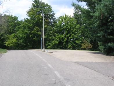
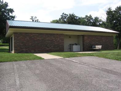
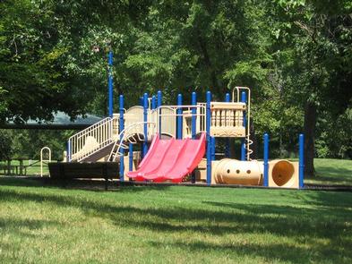
The campground offers a playground for families, a boat ramp for easy lake access, showers for comfort and a group picnic shelter for convenient entertaining. All sites have electric and water hookups and four sites meet accessibility standards. Laundry facilities are also onsite. Two docks are also available for fishing only, one is located inside the campground and the other is beside the boat ramp.
Natural Features
Old Hickory Lake is a 22,500 acre reservoir just northeast of the Nashville metropolitan area.
Fed by the Cumberland River, it stretches for 97 miles, offering an ideal home for several birds and animals in its woodland habitat.
Nearby Attractions
Downtown Nashville, known as “the music city,” is just over a thirty minute drive from the campground.
Visitors looking for more pier fishing opportunities can explore nearby piers at Rockland, Sanders Ferry, Shutes Branch and Bledsoe Creek State Park.
History buffs will appreciate a day trip to the Hermitage, an impressive National Historic Landmark where the seventh U.S. President, Andrew Jackson lived.
Charges & Cancellations
* Once your reservation has been created, there will be a $10.00 fee to cancel and a $10.00 fee to change your site or dates. * Cancellations made the day before, or up to the day after your arrival date will also be charged the first nights use fee. * No-Shows are charged a $20.00 fee plus the first nights use fee. * If your reservation is for 1 night, and you have been charged the first nights use fee, there is no $10.00 serivce fee.