
Directions
From Texarkana, take Highway 59 south. Turn right (west) on Farm-to-Market (FM) Road 2148 and follow to Wright Patman Lake entrance. Follow the park road west to the entrance.
Phone
903-838-8636
Activities
BOATING, CAMPING, FISHING, HUNTING, SWIMMING SITE
Keywords
CLES,WRIGHT PATMAN DAM AND LAKE,CLEAR SPRINGS,WRIGHT PATMAN DAM
Related Link(s)
Overview
Clear Spring Park sits along the shore of 30,000-acre Wright Patman Lake within the piney woods of northeast Texas. The campground offers full services to campers. With a boat ramp, playground and swimming area, Clear Spring is sure to provide outdoor fun for families, boaters, anglers and hunters alike.
Recreation
Wright Patman Lake hosts a wide range of recreational activities, including camping, swimming, boating, fishing, hunting, hiking, picnicking and wildlife viewing. Boaters flock to the lake and anglers try their luck for largemouth bass, catfish, crappie, sunfish and bass. The campground also offers hiking and nature trails.
Facilities
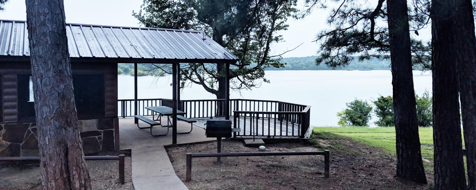
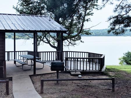
With a swim beach, volleyball court, basketball court and playground, the facility is well-suited for families. Boaters and anglers have the convenience of a boat ramp with courtesy dock. Visitors have a variety of sites from which to choose, including 41 with 30 amp electric hook ups and sewer, 22 with 50 amp electric hook ups, 25 with 30 amp electric hook ups , 3 screened shelters for camping, 10 non-electric sites, a group camping area and a day-use group picnic shelter. The group campsite can accommodate up to 100 people and provides campers with a screened shelter, restrooms and showers, as well as 12 campsites with water and electricity. The three screened shelters, all of which have water access and are close to the boat ramp. Each shelter has a ceiling fan, table, campfire ring, grill, covered porch and water. One shelter has a deck right above the waterfront.
Natural Features
The campground is located in a southern pine forest overlooking the lake. Many campsites are on the water’s edge.
The U.S. Army Corps of Engineers manages approximately 55,000 acres of public forestland around the lake, providing habitat for wild turkey, bobwhite quail, squirrel, white-tailed deer, waterfowl and migrating bald eagles, pelicans and ducks. Some poisonous snakes inhabit the area.
Nearby Attractions
The Texarkana region is full of activities such as shopping, movies, restaurants and local historical sites. Shreveport, Louisiana offers river boat gambling, horse races and numerous festivals, including the Four State Fair and Rodeo and the Jump, Jive and Jam Festival.