
Directions
From I-40, take exit 273. Merge onto US-56 south and continue for 3.5 miles to Floating Mill Road. After about a mile, turn right to stay on Floating Mill Road, and follow signs into the campground.
Phone
931-858-4845
Activities
BOATING, CAMPING, FISHING, HIKING, HUNTING, WATER SPORTS, DAY USE AREA, SWIMMING SITE
Keywords
FLOM,BIG PUCKETTS CAMP,PUCKETTS,CENTER HILL LAKE,CENTER HILL LAKE
Related Link(s)
Tennessee State Road Conditions
Overview
Floating Mill Park is located on the shores of the scenic Center Hill Lake on central Tennessee’s Highland Rim.
The lake stretches 64 miles up the Caney Fork River, where visitors come to enjoy boating, fishing and water sports. The 415 miles of forested shoreline provide excellent hiking, hunting and camping opportunities.
Recreation
Boating, waterskiing, canoeing and fishing are popular activities on the water.
Anglers will find bream, walleye, smallmouth bass, crappie, catfish and white bass. Below the dam, the Caney Fork River is one of the most productive trout fisheries in the state.
Nine miles of hiking trails meander around the lake. The Lost Springs Trail loops for two miles above the campground and Hurricane Marina.
Facilities
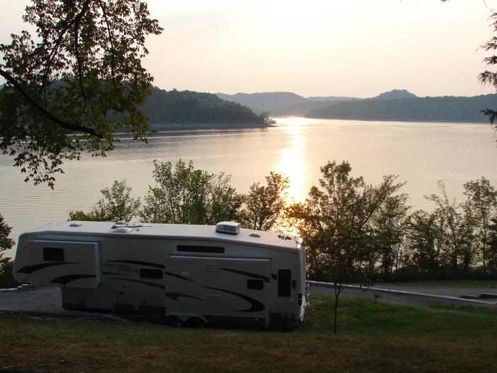
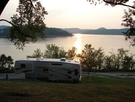
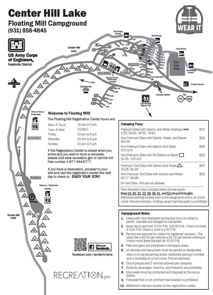
This large campground provides a wide variety of campsites, most of which have electric and water hookups. Several tent-only sites are provided, several of which are beautiful lakefront sites.
A day-use group picnic area is available for reservations. It can accommodate up to 125 guests, with a large shelter and picnic tables. Water and 30-amp electric hookups are included.
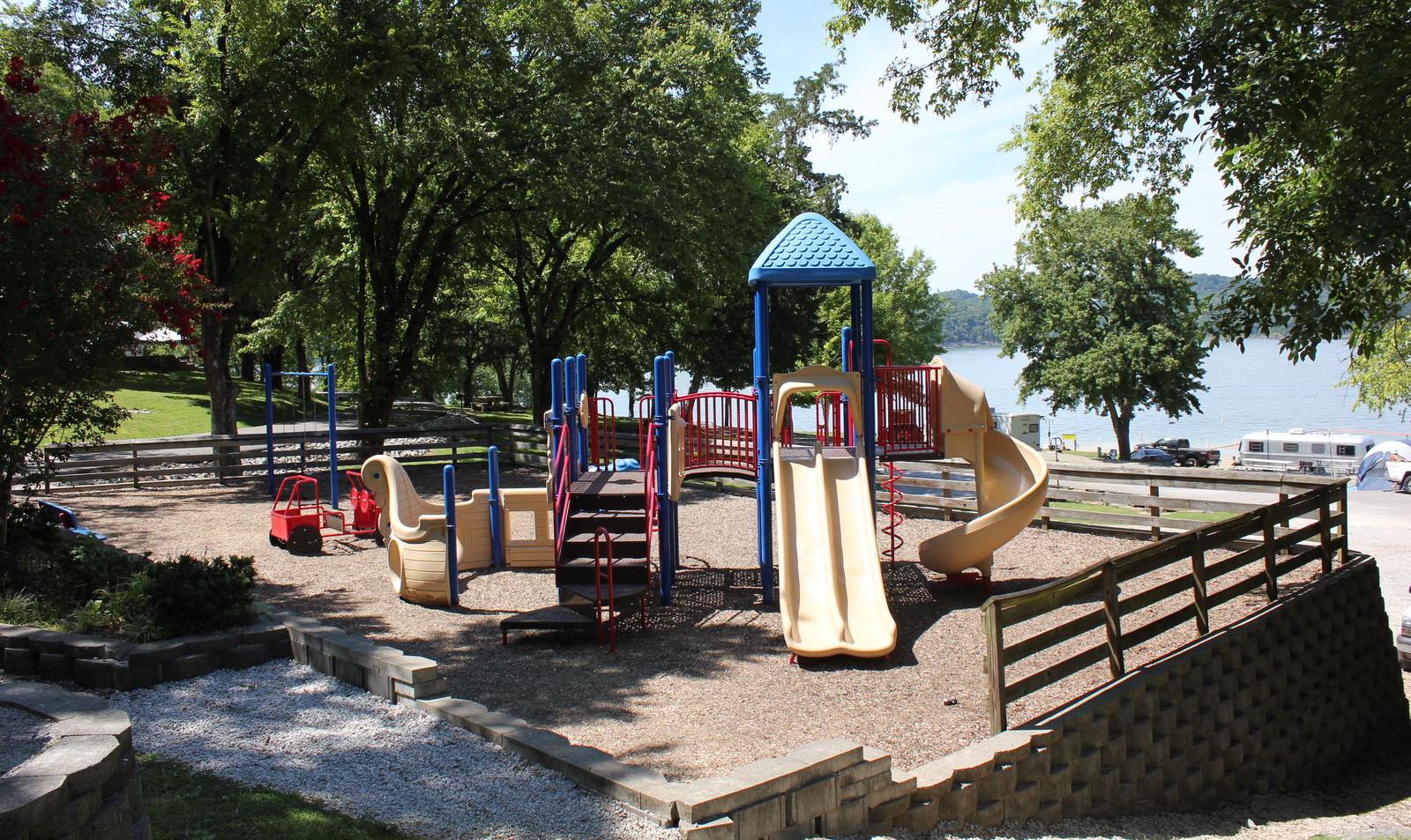
Amenities like flush toilets, showers and drinking water are provided, creating a comfortable camping experience for guests. A boat ramp, fish cleaning station, playground and hiking trail are all conveniently located within the campground.
Natural Features
Center Hill Lake is surrounded by lush mixed hardwood forests in the hilly Highland Rim region. Whitetail deer, wild turkey, squirrels and rabbits roam the wooded hills around the lake.
Floating Mill Park is surrounded by the lake on three sides, providing sweeping waterfront views.
Nearby Attractions
Edgar Evins State Park, about 25 minutes from Floating Mill, sits on the shores of the lake. An observation tower at the Visitor Center offers a spectacular view of Center Hill Lake and the surrounding hillsides.
Burgess Falls State Park is a 35-minute drive from the campground. Here, the Falling Water River drops approximately 250 feet, creating numerous breathtaking waterfalls. Hiking trails and overlooks help visitors enjoy the scenery. The large Native Butterfly Garden is a popular attraction within the park.