
Directions
From Mountain Home, Arkansas, travel east on US Highway 62/412 10 miles to the town of Henderson. Look for park signs for the park entrance on the left.
Phone
870-425-2700
Activities
BOATING, CAMPING, FISHING, HUNTING, WATER SPORTS, DAY USE AREA, HOTEL/LODGE/RESORT PRIVATELY OWNED
Keywords
Related Link(s)
Arkansas State Road Conditions
Overview
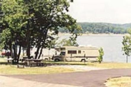
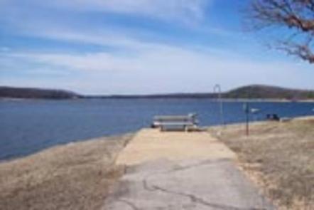
Henderson Park is surrounded by the clear waters of Norfork Lake. Spectacular lake views and plenty of secluded coves for water sports and breezy, open stretches for sailing, make Norfork Lake a popular area for recreationists.
Recreation
Hiking trails in the area lead nature observers and photographers to picturesque overlooks of the Ozarks. A wide array of fresh water game fish are found in the lake, which is fed by the North Fork River and its tributaries. Bass, walleye, crappie, bream and catfish all make their home here.
Facilities
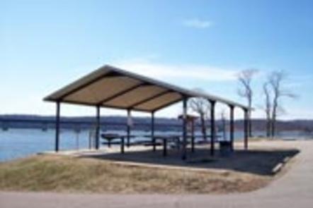
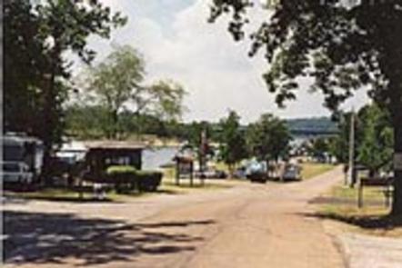
The campground offers 36 campsites, all with electric hookups and water available for filling holding tanks. All campsites have a picnic table and campfire ring and grill. A marina and boat ramp are on hand for easy access to water sports.
Natural Features
Norfork Lake covers 22,000 acres with 550 miles of shoreline. Densely wooded hills and hollows surround the lake in the Ozark Mountains. The North Fork River feeds into the lake, and beyond the dam, extends on to connect with the White River.
Nearby Attractions
Including Henderson Park, there are 19 developed U.S. Army Corps of Engineers’ parks lining the lake for plenty of water sport opportunities. The Robinson Point National Recreation Trail and the David’s Trail offer beautiful hiking opportunities and are just a short drive away. Drive just over 10 miles to visit the town of Mountain Home, considered one of the best places to live for sportsmen.