LAGUARDO, TN Campground Reservation, Info, Images, Map, Directions

LAGUARDO, Tennessee Campground Images, Info & Reservations

Directions

From Nashville, take I-40 East to exit 232-B. Continue North on Hwy. 109 approximately 7.5 miles. Entrance to the park will be on the left.

Phone

615-449-6544

Activities

BOATING, CAMPING, FISHING, SWIMMING, KAYAKING, CANOEING

Keywords

LAGU,OLD HICKORY LAKE,OLD HICKORY LAKE

Related Link(s)

Rec Area Info & Images

Tennessee State Tourism

Tennessee State Road Conditions

Overview

Not far from Nashville, Laguardo is a great day-trip destination for kids and families. It offers a playground, boat ramp, and sandy beach to keep both the kids and adults entertained. Visitors looking for a little more action will find this area is also ideal for bank fishing.

Recreation

Laguardo is a popular spot for picnicking, swimming, bank fishing, canoeing, kayaking, and other water sports with a convenient boat ramp located within the facility.

Facilities

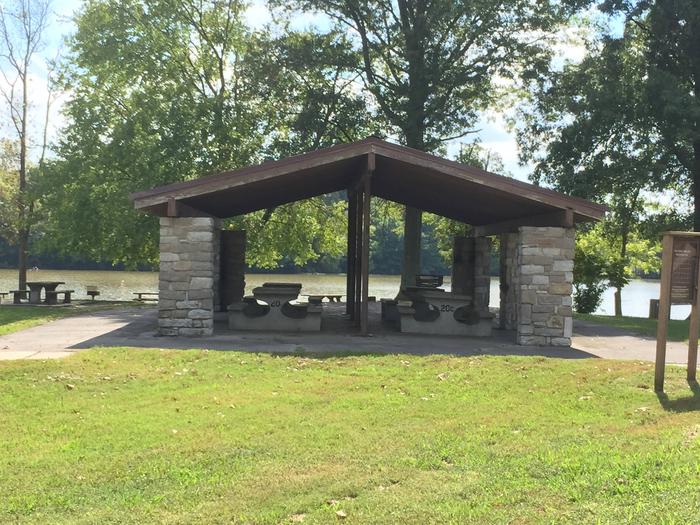
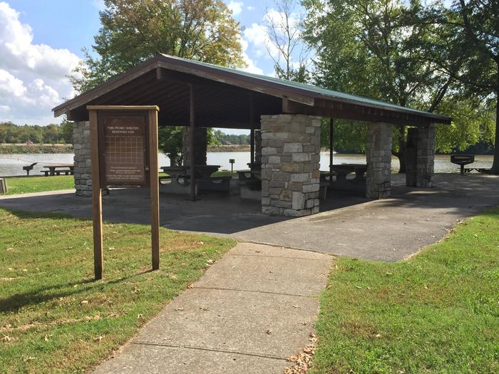
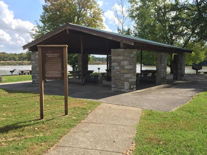
The group picnic shelter holds up to 50 guests and parking may be available for up to 50 vehicles. A restroom facility, family friendly playground, swimming area with sandy beach, and picnic tables located throughout the park are also available.

Natural Features

Old Hickory Lake is a 22,500 acre reservoir created by the Old Hickory Lock and Dam on the Cumberland River. The lake is surrounded by wooded areas and grassy flatlands in addition to 440 miles of scenic shoreline.

Nearby Attractions

Just across the Old Hickory Lake to the North, hikers and cyclist can enjoy the trails at Lock 4 Park. Mountain bikers may also try the Shutes Branch Mountain Biking Trail. In Hendersonville, located at the dam, Archers and bow hunters can sharpen their skills using the Old Hickory Lake Archery Range and trail.

Reservation

More from CampingHiking.net:

TWIN LAKE CAMPGROUND, Utah Campground Images, Info & Reservations

Directions Travel east out of Mayfield, UT on "Canyon Road" to the Forest Service boundary of Twelve Mile Canyon. Stay on Forest Development Road 22, approximately 7.5 miles from Mayfield. Phone 435-283-4151 Activities CAMPING Keywords None Related Link(s) Rec Area Info & Images Utah State Tourism Utah State Road Conditions

SUNNYSIDE CAMPGROUND, Oregon Campground Images, Info & Reservations

Directions From Blue River, travel 4 miles east on Hwy 126 to Aufderheide Drive (FS road 19). Continue on Aufderheide Drive for 9.5 miles; turn left on FS road 1900-500 for .25 miles. Phone 801-226-3564 Activities WILDLIFE VIEWING, BIRDING Keywords SUNNYSIDE CAMPGROUND,COUGAR RESERVOIR,BLUE RIVER Related Link(s) Rec Area Info &

CHILHOWEE GROUP CAMP, Tennessee Campground Images, Info & Reservations

Directions From Highway 64/411 intersection, travel east 7 miles, turn onto Forest Road 77, drive 7.5 miles to campground/recreation area. Phone 423-338-3300 Activities BIKING, CAMPING, FISHING, HIKING, WILDLIFE VIEWING, MOUNTAIN BIKING, KAYAKING, CANOEING, WATER ACCESS, SCENIC DRIVE, RAFTING, RIVER TRIPS, WHITEWATER RAFTING, AMPHITHEATER, ACCESSIBLE SWIMMING Keywords CHILHOWEE GROUP CAMP,CHILHOWEE Related

IVES RUN, Pennsylvania Campground Images, Info & Reservations

Directions The campground is located 4 miles south of Tioga and 12 miles north of Wellsboro, Pennsylvania, on State Route 287, within the Ives Run Recreation Area. Phone 570-835-5281 Activities BOATING, CAMPING, FISHING, HIKING, HUNTING, VISITOR CENTER, DAY USE AREA, SWIMMING SITE Keywords IVES,TIOGA-HAMMOND LAKES,TIOGA-HAMMOND LAKE Related Link(s) Rec Area

RECREATION POINT, California Campground Images, Info & Reservations

Directions From Fresno, California, take Highway 41 north through Oakhurst. Turn right on Forest Road 222 toward Bass Lake. Keep right for 3.5 miles to the campground registration office. Phone 559-642-3212 Activities BOATING, CAMPING, INTERPRETIVE PROGRAMS, FISHING, HIKING, WATER SPORTS, DAY USE AREA, SWIMMING SITE Keywords RECR,BASS LAKE,OAKHURST,SIERRA NF –

MURRELL PARK, Texas Campground Images, Info & Reservations

Directions Grapevine Lake is located in the Dallas-Fort Worth Metroplex, south of Denton, Texas. The north side of the lake is almost entirely within the town boundaries of Flower Mound, Texas in Denton county. The south side of the lake is located in Grapevine, Trophy Club and Southlake, Texas in