LAVONIA, TX Campground Reservation, Info, Images, Map, Directions

LAVONIA, Texas Campground Images, Info & Reservations

Listen

Directions

From Wylie, Texas take State Highway 78 North to Lake Road (County Road 486) located in the city of Lavon. Take a left on Lake Road. Follow signs into the campground by taking a left over the railroad tracks bridge.

Phone

972-442-3141

Activities

BOATING, CAMPING, FISHING, SWIMMING SITE

Keywords

LAVO,LAVON LAKE,LAKE LAVON,LAVON LAKE

Related Link(s)

Rec Area Info & Images

Texas State Tourism

Texas State Road Conditions

Overview

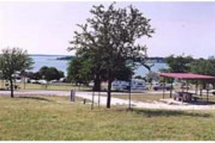
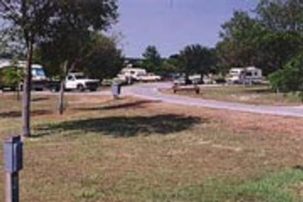
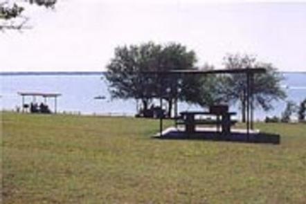
Lavonia Campground is a scenic Texas getaway just beyond the Dallas metropolitan area. Visitors can camp, swim, fish, boat or use the day use area.

Recreation

Visitors of all ages can enjoy activities like camping, fishing, boating and picnicking. Anglers seek species like channel catfish, crappie and striped bass.

Facilities

The campground offers 38 RV sites with water, 30 amp electric and sewer hook-ups. The campground has 15 tent sites. Additional perks include hot showers and a boat launch.

Natural Features

The Lavon Lake, in northern Texas, spans 21,400 acres and stems from the East Fork of the Trinity River.

Nearby Attractions

The paved Sister Groves Trail at Sister Grove Creek is a hot spot for biking and hiking.

Reservation

More from CampingHiking.net:

WEST POINT CABIN, Alaska Campground Images, Info & Reservations

Listen Directions The West Point Cabin is located near the mouth of Portage Bay on Kupreanof Island. It is situated west of West Point, just around the point from Fredrick Sound. It is 18 miles by float plane or 24 miles by boat from Petersburg. The cabin can be found

FINDLEY CAMPGROUND, California Campground Images, Info & Reservations

Listen Directions Take Interstate 80 to the Truckee/Highway 89 North exit. Follow Highway 89 north for 17 miles, to the Jackson Meadows turnoff. Travel west on Forest Road 07 for 18 miles, to Jackson Meadows Reservoir. Proceed across the dam and continue on a paved/gravel road for approximately four miles.

PLATORO CABIN 1, Colorado Campground Images, Info & Reservations

Listen Directions From Antonito, CO, follow Highway 17 west to its junction with FSR 250. Follow FSR 250 northwest up the Conejos Canyon about 22 miles to Platoro. Turn left on FSR 250.6A and follow it 0.2 mile to the cabin. From the town of South Fork, follow Highway 160

SHAKES SLOUGH 2 CABIN, Alaska Campground Images, Info & Reservations

Listen Directions The Shakes Slough Cabins are located in the Stikine-LeConte Wilderness on the north shore of the Stikine River at the Shakes Slough entrance. From Wrangell, the cabins are 20 miles by float plane or 25 miles by shallow draft boat. Low river levels and tides affect access to

LAGUNA, California Campground Images, Info & Reservations

Listen Directions Located 50 miles east of San Diego, California. Take I-8 to Sunrise Highway exit. Go approximately 15 miles to Laguna/El Prado Campground, just beyond the 26 mile marker. Stop at the entrance station for campground information and site location. Phone 619-473-2082 Activities BIKING, CAMPING, HIKING, DAY USE AREA