

Directions
From I-75, take Exit 38 (SR-192) east to Daniel Boone Parkway to SR-15. Travel SR-15 south to SR-160, turn north and follow for 4 miles. Campground is on the east side of SR-160.
Phone
606-642-3052
Activities
BOATING, CAMPING, FISHING, HUNTING, DAY USE AREA, SWIMMING SITE
Keywords
LITT,CARR CREEK CAMPGROUND,CARR FORK CAMPGROUND,CARR CREEK LAKE
Related Link(s)
Kentucky State Road Conditions
Overview
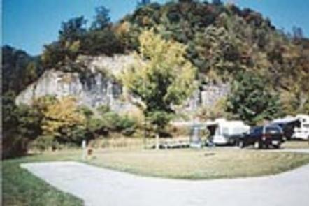
Littcarr Campground is located on the shores of Carr Creek Lake in southeastern Kentucky’s mountainous region. The area provides an excellent atmosphere for camping, fishing, boating and enjoying the natural setting.
Recreation
The lake offers boating, water skiing and swimming. Anglers can fish for crappie, bass, bluegill and walleye.
A short nature trail for hiking is located in the Dam/Tailwater area. For a bit more adventure, the six-mile Sugar Branch Trail begins at the dam and ends at Sugar Lake Road.
Facilities
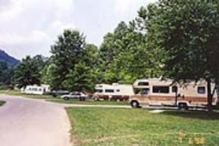
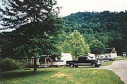
The campground offers 45 sites with electric and water hookups. Amenities include flush toilets, showers, drinking water, laundry facilities and a dump station.
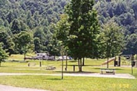
For family-friendly entertainment, two playgrounds, a picnic shelter, horseshoe pits, and basketball and shuffleboard courts are also on-site.
Natural Features
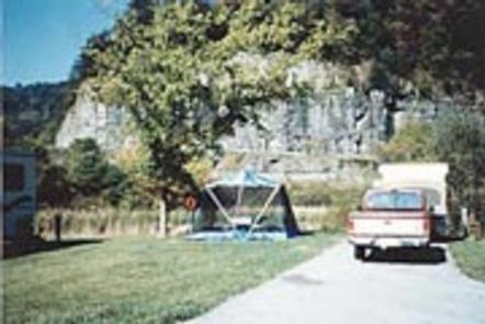
Carr Creek Lake is situated in a scenic sloping landscape heavily forested with a wide variety of hardwood and pine trees. An array of songbirds and waterfowl inhabit the area’s marshlands.
Nearby Attractions
Nearby attractions include Daniel Boone National Forest, Lilley Cornett Woods, Bad Branch Falls Nature Preserve, Red River Gorge Natural Scenic Area, Natural Bridge State Park and Buckhorn Lake.