
Directions
From Texarkana, take Highway 59 south to Wright Patman Lake. Just south of Sulphur River Dam, turn right into the park area, following signs. Proceed one mile to the park. Piney Point is just north of Rocky Point Park.
Phone
903-796-0684
Activities
BOATING, CAMPING, FISHING, HIKING, WATER SPORTS
Keywords
PINP,WRIGHT PATMAN DAM AND LAKE,PINEY POINT,WRIGHT PATMAN DAM
Related Link(s)
Overview
Piney Point Park is situated on the shore of 30,000-acre Wright Patman Lake within the piney woods of northeast Texas. This facility offers campers a complete range of services and year-round outdoor activities like fishing, hunting and wildlife viewing.
Recreation
Piney Point has plenty of open space and shade in which children can play, as well as a volleyball court and a 1.3-mile hiking trail that leads to nearby Rocky Point Campground and its swimming beach.
Other activities on the lake include boating, fishing, hunting, picnicking and wildlife viewing. Boaters can make use of the park’s boat ramp, and anglers can try their luck for bass, catfish, crappie and sunfish.
Facilities
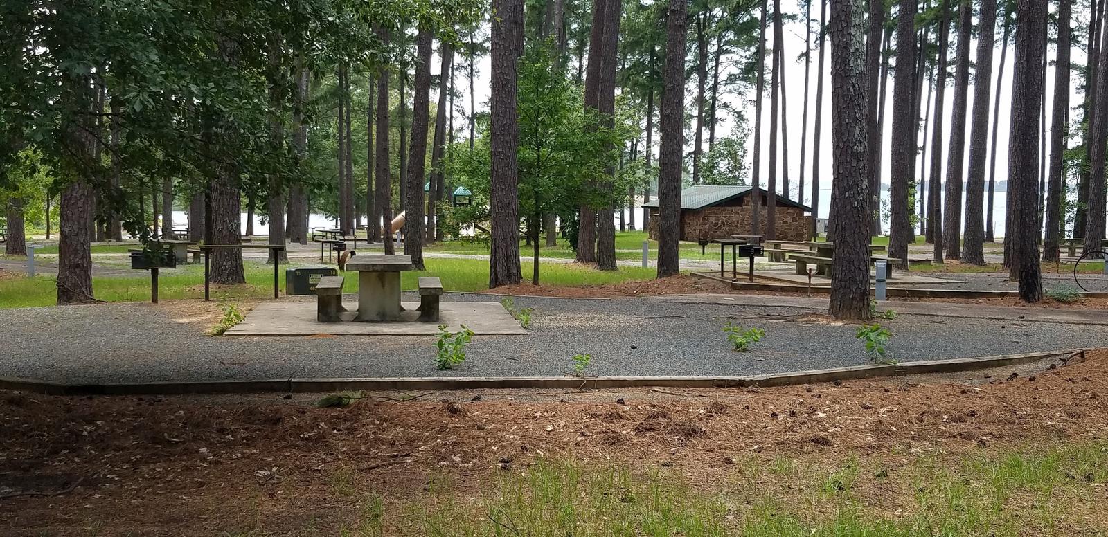
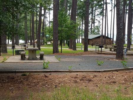
The campground has comfortable accommodations with 45 campsites with water and electricity, as well as a group picnic shelter for day use only that can host up to 75 people. Campsites have picnic tables, grills, utility tables and trash cans. Restrooms, showers and a dump station are provided.
Natural Features
The park is located in a southern pine forest overlooking the lake. The U.S. Army Corps of Engineers manages approximately 55,000 acres of public forestland around the lake, providing habitat for wild turkey, bobwhite quail, squirrel, white-tailed deer, waterfowl and migrating bald eagles, pelicans and ducks. Some poisonous snakes inhabit the area.
Nearby Attractions
The Texarkana region is full of activities such as shopping, movies, restaurants and local historical sites. Shreveport, Louisiana offers river boat gambling, horse races and numerous festivals, including the Four State Fair and Rodeo and the Jump, Jive and Jam Festival.