


Directions
From Kopperl, Texas, travel 1 mile south on FM 56. Follow signs into campground.
Phone
254-622-3332
Activities
BIKING, BOATING, CAMPING, FISHING, HIKING, HORSEBACK RIDING
Keywords
PLOW,WHITNEY LAKE,LAKE WHITNEY,WHITNEY LAKE
Related Link(s)
Overview
PLOWMAN CREEK CAMPGROUND IS CURRENTLY CLOSED DUE TO A FLOODING EVENT
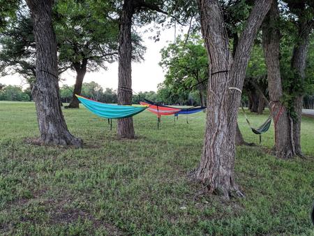
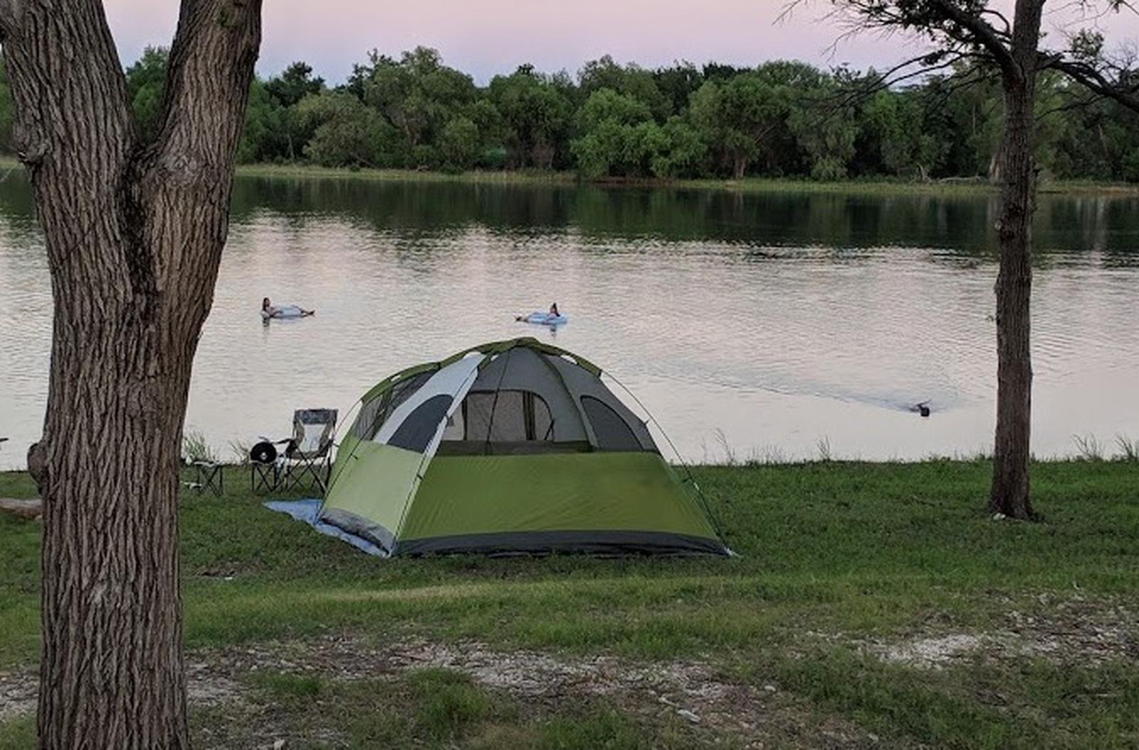
Plowman Creek Campground is located on the west side of Whitney Lake off the main channel of the Brazos River in Central Texas. Plowman Creek not only offers many campsites but also includes flush toilets, showers, drinking water, a dump station, boat ramp and playground.
Recreation
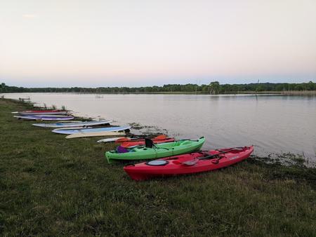
Boating, fishing, swimming, canoeing and kayaking are popular activities on the river and downstream at Whitney Lake. Anglers can fish for a variety of bass, crappie, and catfish.
The 12.5 mile Hopewell Trail allows hiking, mountain biking and horseback riding. Visitors can choose to travel north on the trail to Kimball Bend Park, or south to Lakeside Village and Powelldale Mountain.
Facilities
This year-round campground offers 34 campsites in Plowman Creek. Twenty-two of these sites have water and 30 amp electrical hook up (sites 1-7 and 10-24). Twelve sites have water hookups only (sites 8,9 and 25-34). All sites have upright BBQ cookers and a ground cooker/fire ring. The park also has a restroom with showers, a restroom with toilet facilities only, and a trailer dump station. Amenities include flush toilets, showers, drinking water, a dump station, boat ramp and playground.
Natural Features
The Brazos River flows gently over sand and rocks at Plowman Creek. The surrounding rolling hills are covered with cedar, Live oak and Post oak.