ROBINSON POINT, AR Campground Reservation, Info, Images, Map, Directions

ROBINSON POINT, Arkansas Campground Images, Info & Reservations

Directions

From Mountain Home, AR, travel 9 mi E on US 412/62; turn right onto CR 279/Robinson Pt. Rd. for 3 mi to park entrance. Follow signs into campground.

Phone

870-492-6853

Activities

BOATING, CAMPING, FISHING, HIKING, VISITOR CENTER, SWIMMING SITE

Keywords

ROBP,NORFORK LAKE,NORFORK LAKE

Related Link(s)

Rec Area Info & Images

Arkansas State Tourism

Arkansas State Road Conditions

Overview

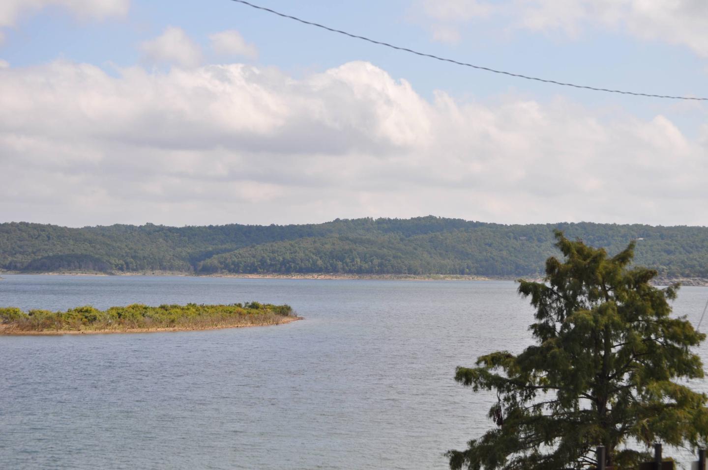
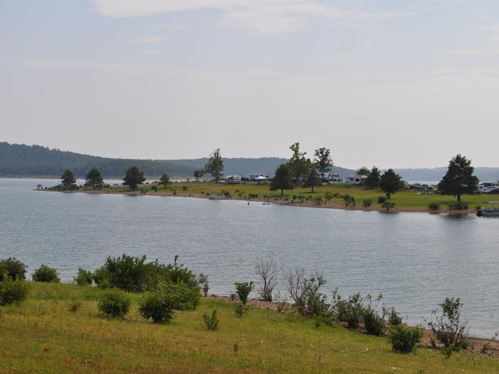
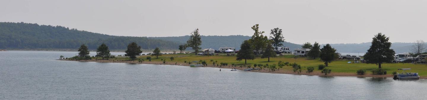
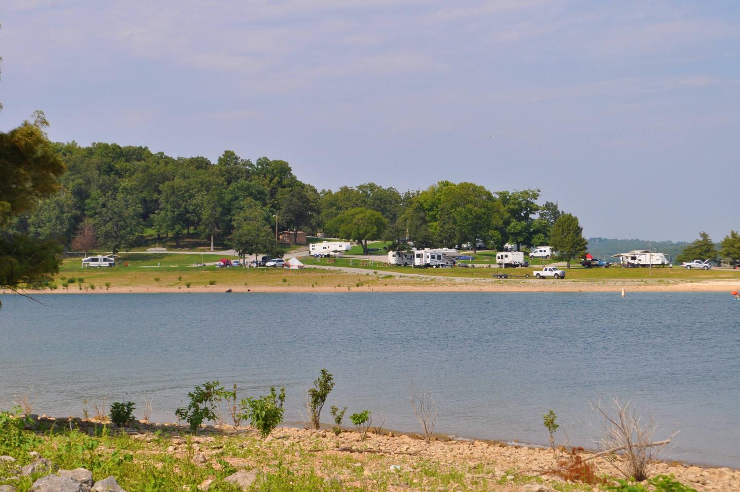
Robinson Point is one of the most popular parks in the central portion of Norfork Lake. The 102 campsites are sprawled across two peninsulas, so waterfront campsites are plentiful.

The hilly lake region is a playground for visitors young and old, with water and land activities galore.

Recreation

Swimming, hiking and all types of boating are favorite pastimes for lake-goers. Coves are ideal for water skiers while the breezy, open areas provide excellent conditions for sailing.

In-season hunting is also popular here.

Facilities

The 25 acres of campground provide many modern conveniences for campers. Sites are equipped with electric hookups and access to flush toilets and showers.

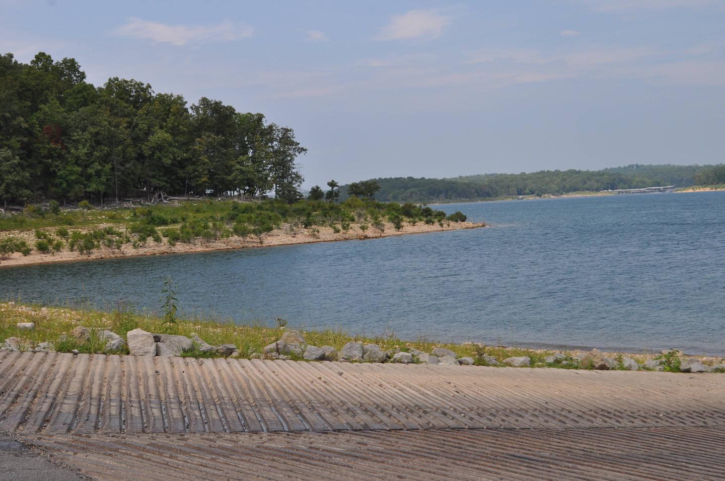
A boat ramp and swim beach offer convenient access to the lake.

Natural Features

Norfork Lake, a 22,000-acre recreation lake, stems from the North Fork River in northern Arkansas. The lake is about 25 miles east of Bull Shoals Lake, and cuts through the Ozark Mountains.

The Ozarks Range, in geological terms, is a heavily eroded plateau. It was shaped and carved by hundreds of streams over several thousand years, creating beautiful rugged terrain.

Nearby Attractions

Head south to the Ozark National Forest to explore 1.2 million acres of protected Ozark terrain.

There, visitors can tour the Blanchard Springs Caverns, a living cave still in the process of formation.

Reservation

More from CampingHiking.net:

KEYESPORT REC. AREA, Illinois Campground Images, Info & Reservations

Directions From I-70, take State Route 127 south for 10 miles. Turn east on Clinton Road, continue east for four miles to the town of Keyesport, then follow signs to the recreation area. Phone 618-594-5253 Activities BOATING, CAMPING, FISHING, SWIMMING SITE Keywords KEYS,CARLYLE LAKE Related Link(s) Rec Area Info &

SILTCOOS SAND CAMPING, Oregon Campground Images, Info & Reservations

Directions From Florence Oregon, travel 7 miles south on Highway 101 to the Siltcoos Beach Access Road. Turn west on Siltcoos Beach Access Road and proceed 1 mile 1.5 miles to Driftwood II Campground on the right. The Sand Access is within the Campground. Phone 541-271-6000 Activities CAMPING, FISHING, HIKING,

BUCKALOONS, Pennsylvania Campground Images, Info & Reservations

Directions Take PA-6 to PA-62 South. Take the first right onto National Forge Road, then the first left into the campground. If coming up PA-62 from the south, cross the Allegheny River north of Tidioute and take the first left onto National Forge Road, then the first left into the

WINDY POINT GROUP (CO), Colorado Campground Images, Info & Reservations

Directions From I-70, take the Silverthorne exit 205. Travel east on Highway 6 approximately 4 miles to Swan Mountain Road. Proceed 2 miles to Swan Mountain Recreation Area. Take dirt road to campground. Phone 970-468-7681 Activities BOATING, CAMPING, FISHING, HIKING, PICNICKING, WILDLIFE VIEWING Keywords WINP,WHITE RIVER NF -FS Related Link(s)

PAWNEE, Colorado Campground Images, Info & Reservations

Directions From Denver, travel north on Interstate 25 to U.S. Highway 36 West to Boulder. Continue on Colorado Highway 119 (Canyon Boulevard) for 22 miles to Nederland, then go north on Colorado Highway 72 to Ward. Turn left at the sign and travel 5 miles to Brainard Lake Recreation Area.