SAN AUGUSTINE, TX Campground Reservation, Info, Images, Map, Directions

SAN AUGUSTINE, Texas Campground Images, Info & Reservations

Directions

From Pineland, TX, take FM 83 west 6 miles, then south on FM 1751 for 4 miles to the park entrance.

Phone

409-384-5716

Activities

BOATING, CAMPING, FISHING, HUNTING, SWIMMING SITE

Keywords

SATX,SAM RAYBURN RESERVOIR,SAM RAYBURN LAKE,SAN AUGUSTINE PARK,SAM RAYBURN RESERVOIR

Related Link(s)

Rec Area Info & Images

Texas State Road Conditions

Texas State Tourism

Overview

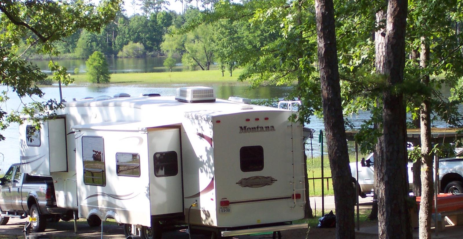
San Augustine Park is set along the Ayish Bayou tributary on the shores of Sam Rayburn Reservoir.

In spring, take advantage of excellent birding opportunities as neotropical birds like warblers and vireos pass through the lake en route to the Gulf of Mexico.

Recreation

The lake is a highly popular destination for boating and fishing. Game fish include largemouth bass, bluegill and channel catfish, but it is the abundance of bass, which inspires more than 500 annual tournaments.

Facilities

San Augustine features 100 sites with electric and water hook-ups. Among the many amenities are a group shelter, swimming beach, volleyball, boat ramp and an interpretive trail.

Natural Features

With more than 114,000 surface acres, Sam Rayburn is the largest man-made lake that is completely within the boundaries of the state of Texas. The reservoir is fed by the Angelina River, a major tributary of the Neches River.

The piney woods region boasts native flora like orchids, insect-eating plants and scores of animal species.

Nearby Attractions

From the eastern edge of the lake, hikers can embark on a 28-mile trail that heads east to the Toledo Bend Reservoir.

Reservation

More from CampingHiking.net:

PORT RAMP MARINA, Utah Campground Images, Info & Reservations

Directions From I-15, take the Ogden 12th Street exit and travel east on 12th Street to Highway 39 through Ogden Canyon. At the top of the canyon, turn left on Highway 158 which crosses the dam. Travel on Highway 158, past Radford Lane. Port is on the right and is

ALPINE RIDGE, Arkansas Campground Images, Info & Reservations

Directions From Interstate 30, take exit 73 and merge onto State Highway 8 west for 19 miles. Turn right on Fendley Road and continue 8.5 miles to the campground. Phone 870-246-5501 Activities BOATING, CAMPING, FISHING, SWIMMING SITE Keywords ALPR,DEGRAY LAKE,ALPINE,DEGRAY LAKE Related Link(s) Rec Area Info & Images Arkansas State

CRABTREE COVE, Missouri Campground Images, Info & Reservations

Directions From Stockton, Missouri, take State Highway 32 east for 3.5 miles. Turn right onto the access road and follow signs into the park area. Phone 417-276-6799 Activities BOATING, CAMPING, FISHING, HIKING, WILDLIFE VIEWING Keywords CRAT,STOCKTON LAKE,STOCKTON LAKE Related Link(s) Rec Area Info & Images Missouri State Tourism Missouri State

FENSKE LAKE CAMPGROUND, Minnesota Campground Images, Info & Reservations

Directions From Ely, Minnesota, travel east on State Highway 169 North (toward Winton) for about 1 mile. Turn left onto County Road 88 and travel about 2 miles. Turn right onto Echo Trail and continue about 7 miles to the campground entrance on the right. Phone KAWISHIWI RANGER DISTRICT: 218-365-7600,

BROOKEN COVE, Oklahoma Campground Images, Info & Reservations

Directions From Enterprise, Oklahoma, take Highway 71 north for 5 miles and follow signs to the campground. Phone 918-799-5843 Activities BOATING, CAMPING, FISHING, HIKING, SWIMMING SITE Keywords BRCO,EUFAULA LAKE,EUFAULA LAKE Related Link(s) Rec Area Info & Images Oklahoma State Tourism Oklahoma State Road Conditions Overview Brooken Cove Campground sits along