TAYLOR, TX Campground Reservation, Info, Images, Map, Directions

TAYLOR, Texas Campground Images, Info & Reservations

Directions

From Interstate Highway 35 take Hwy 79 east to Hwy 95. Go north on Hwy 95 to FM 1331; go east on FM 1331 for approximately 5 miles to the entrance on the left.

Phone

512-859-2668

Activities

BIKING, CAMPING, FISHING, HIKING, WATER SPORTS, WILDLIFE VIEWING, SWIMMING SITE

Keywords

TAYL,GRANGER LAKE,LAKE GRANGER,GRANGER LAKE

Related Link(s)

Rec Area Info & Images

Texas State Road Conditions

Texas State Tourism

Overview

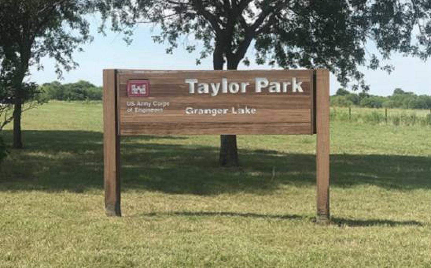
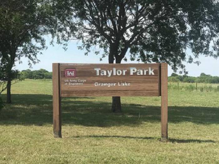
Taylor Campground, on the banks of Granger Lake, is an excellent lakeside destination for families of all ages.

The park pleases nature lovers with its hiking trail and water skiers with its easily accessible boat dock. Anglers flock to Granger Lake because it is one of the top five crappie and white bass fishing destinations in central Texas.

Recreation

Boating, hiking, hunting and wildlife viewing are all reasons visitors camp at Taylor. Hikers can enjoy the Comanche Bluff Trail, which loops around the campground and carries on in both directions along the southern side of the lake.

Facilities

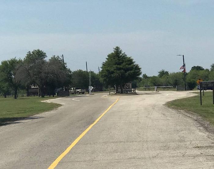
The campground has 48 sites, each with water and electric hookups. Showers and flush toilets provide a comfortable camping experience and a playground and boat dock in the park, make entertaining easy.

Natural Features

Taylor Park is located in the gently rolling hills of the Texas Blackland Prairie, 40 miles from Austin TX.

Granger Lake was formed by a dam built in 1980 for flood control. The lake is fed by the San Gabriel River and Willis Creek.

Nearby Attractions

Several designated wildlife areas border the lake, including Pecan Grove Wildlife Area, San Gabriel Wildlife Area, Sore Finger Wildlife Area, and Willis Creek Wildlife Area. Take the kids to Sore Finger and find out how the area earned its name.

Reservation

More from CampingHiking.net:

FIELD TRACT CAMPGROUND, New Mexico Campground Images, Info & Reservations

Directions Field Tract Campground is located 10 miles north of Pecos on the right-hand side. Phone (505) 757-6121 Activities CLIMBING, CAMPING, FISHING, HIKING Keywords Related Link(s) Rec Area Info & Images New Mexico State Tourism New Mexico State Road Conditions Overview Field Tract Campground is located on the banks of

GLACIER VIEW CAMPGROUND, Idaho Campground Images, Info & Reservations

Directions From Stanley, Idaho, take State Highway 75 south approximately 4 miles. Go west onto Forest Road 214. Turn left at Glacier View Campground entrance sign. Phone 928-537-8888 Activities BIKING, BOATING, CAMPING, FISHING, HIKING, HORSEBACK RIDING, WILDLIFE VIEWING, SWIMMING SITE Keywords GLAC,SAWTOOTH NF – FS Related Link(s) Rec Area Info

JOHNSON CREEK DAY USE, Texas Campground Images, Info & Reservations

Directions From Jefferson, Texas, travel 3.8 miles northwest on Highway 49. Turn left onto FM 729 and continue for just over 8.5 miles. Park entrance will be on the left. Phone 903-665-2336 Activities BOATING, FISHING, PICNICKING, WATER SPORTS, WILDLIFE VIEWING, DAY USE AREA, SWIMMING Keywords None Related Link(s) Rec Area

LAZY BEND, Oregon Campground Images, Info & Reservations

Directions From Estacada, travel east on Highway 224 for just over 10 miles to the campground. Phone 503-630-5721 Activities BOATING, CAMPING, FISHING, WATER SPORTS Keywords LAZY,MT. HOOD NF – FS Related Link(s) Rec Area Info & Images Oregon State Tourism Forest Service Concessionaire Oregon State Road Conditions Overview Lazy Bend

PINEKNOT, California Campground Images, Info & Reservations

Directions From I-10 in Redlands, take Highway 330 to Highway 18 in Running Springs. Continue east on Highway 18 at Big Bear Lake Dam, go straight at the dam and follow Highway 18. Turn onto Summit Boulevard and continue to a block wall. Turn left into the campground. Phone 909-866-8550

SWAN CABIN, North Carolina Campground Images, Info & Reservations

Directions From Robbinsville, North Carolina, take Highway 129 north. After about 2 miles turn left onto 143 West (Massey Branch Road). Pass the Ranger Office and continue to the stop sign (2.2 miles). At the stop sign, turn right, continuing on 143 West for approximately 6.9 miles. Turn right on