TWIN DIKES, TX Campground Reservation, Info, Images, Map, Directions

TWIN DIKES, Texas Campground Images, Info & Reservations

Directions

From Jasper, TX, take US 96 north 13 miles. Go west on Recreation Rd, (FM 255) for 5 miles to the park entrance.

Phone

409-384-5716

Activities

BOATING, CAMPING, FISHING, HUNTING

Keywords

TWID,SAM RAYBURN RESERVOIR,SAM RAYBURN LAKE,TWIN DIKES PARK,SAM RAYBURN RESERVOIR

Related Link(s)

Rec Area Info & Images

Texas State Road Conditions

Texas State Tourism

Overview

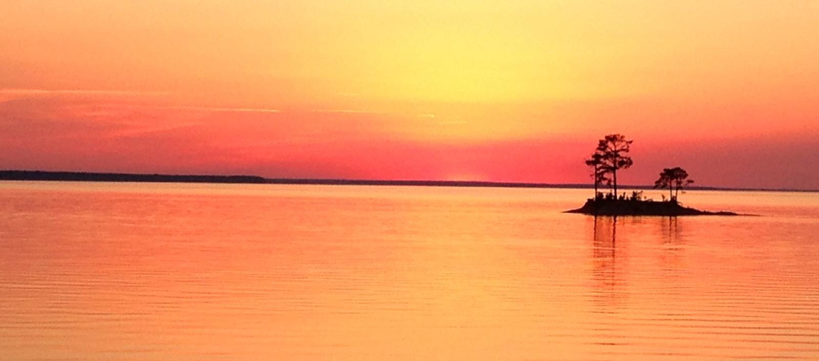
Twin Dikes Park is located on the waters of the Sam Rayburn Reservoir, in the Piney Woods of southeast Texas.

The region lies in the migration path of warblers, vireos, and other species of neotropical migrants, so spring is an opportune time for birders to visit the park.

Recreation

The lake is a highly popular recreation destination for boating and fishing. Game fish include largemouth bass, bluegill and channel catfish. The abundance of bass in the lake, has inspired more than 300 annual tournaments.

Facilities

The park features 43 campsites with 30 to 50 amp electric hookups, hot showers, a group picnic shelter and boat ramp.

Natural Features

Twin Dikes is on the southern shore of Sam Rayburn Reservoir, in the Big Thicket region of Texas, the densest portion of the Piney Woods, a region characterized by temperate coniferous forests.

The 114,000-acre lake was impounded in 1965 along the Angelina River, and has an average depth of 80 feet with average clarity.

Nearby Attractions

The 20,700-acre Bannister Wildlife Management Area is on the northern peninsula of the lake. Hikers and bikers can come here to explore the designated Eastern Wild Turkey restoration site.

Reservation

More from CampingHiking.net:

CUB RIVER GUARD STATION, Idaho Campground Images, Info & Reservations

Directions From Preston, Idaho, head approximately 3 miles south on U.S. Highway 91. Turn east on Cub River Road/Forest Road 406. Proceed about 10 miles to the guard station. This road is heavily traveled throughout the summer with other recreationists, so please travel slowly and use caution. Phone 208-847-0375 Activities

PINE RIDGE, Arkansas Campground Images, Info & Reservations

Directions From DeQueen, AR, take Highway 71 north for 3 miles. Turn west onto DeQueen Lake Road and continue for 5.5 miles, then turn west again onto County Road and follow signs into the campground. Phone 870-642-6111 Activities BOATING, CAMPING, FISHING, HUNTING Keywords PINR,DEQUEEN LAKE,DEQUEEN LAKE Related Link(s) Rec Area

Windy Point Campground, Washington Campground Images, Info & Reservations

Directions From Naches, Washington, take Route 12 west for 4.4 miles to the intersection with State Route 410. Turn left at the intersection, staying on Route 12. Travel 8 miles to campground on the left. Phone 541-338-7869 Activities CAMPING, FISHING, HIKING Keywords WIND,RIMROCK LAKE,TIETON RIVER,OKANOGAN – WENATCHEE NF -FS Related

MONTY CAMPGROUND, Oregon Campground Images, Info & Reservations

Directions From Sisters, OR: Travel 5.6 miles northwest on Highway 20, then 20.8 miles north on Forest Road 11, then 5.0 miles east on Forest Road 1170, and then 7.2 miles northwest on County Road 64. Phone 503-464-8515 Activities CAMPING, FISHING, WILDLIFE VIEWING Keywords Related Link(s) Rec Area Info &

HUNTER PEAK, Wyoming Campground Images, Info & Reservations

Directions From Cody, Wyo., travel north on State Highway 120 to Highway 296. The campground is approximately 60 miles from Cody, and located on the left side of the highway. From the northeast entrance of Yellowstone Park or Red Lodge, Mont, travel on U.S. Highway 212 to the junction with