
Directions
From Interstate 35 in Salado, Texas take the Farm-to-Market Road 2484 exit. Travel west on 2484 about five miles to Union Grove Park Road, and turn right into the facility.
Phone
254-947-0072
Activities
CAMPING, SWIMMING SITE
Keywords
UNIO,STILLHOUSE HOLLOW RESERVOIR,STILLHOUSE LAKE,LAKE STILLHOUSE,STILLHOUSE HOLLOW LAKE,LAKE STILLHOUSE HOLLOW,UNION GROVE WEST,STILLHOUSE HOLLOW
Related Link(s)
Overview
Union Grove Park is located on the southwestern shore of Stillhouse Hollow Lake in central Texas. The lake offers a wide variety of recreation opportunities, including water sports, hiking, biking, horseback riding, picnicking, large group pavilions, hunting, fishing and simply enjoying the scenery.
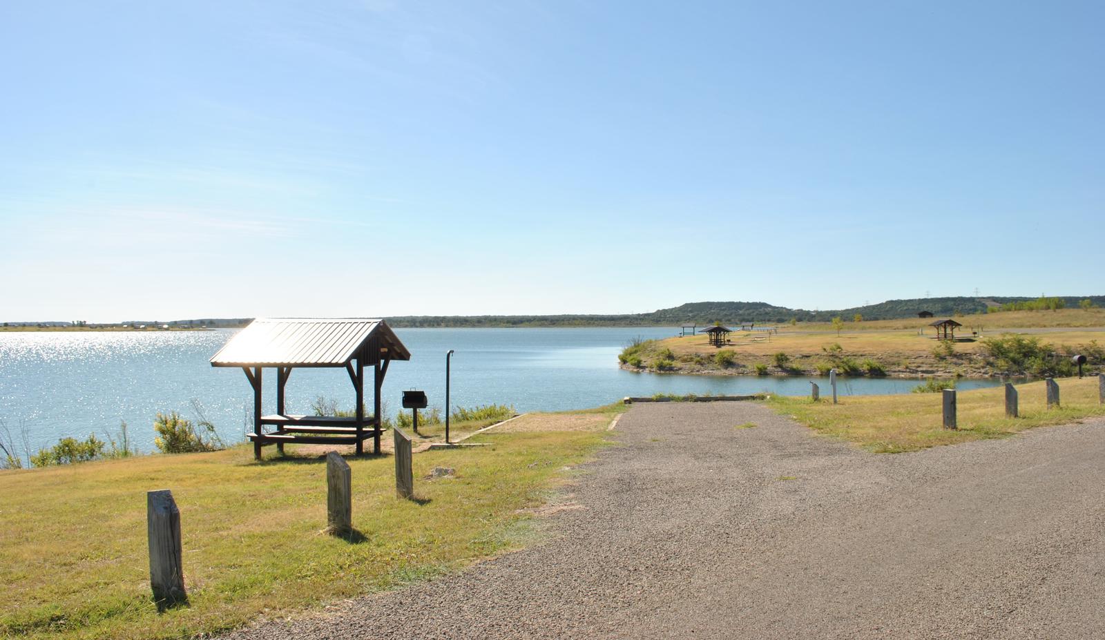
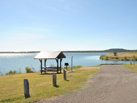
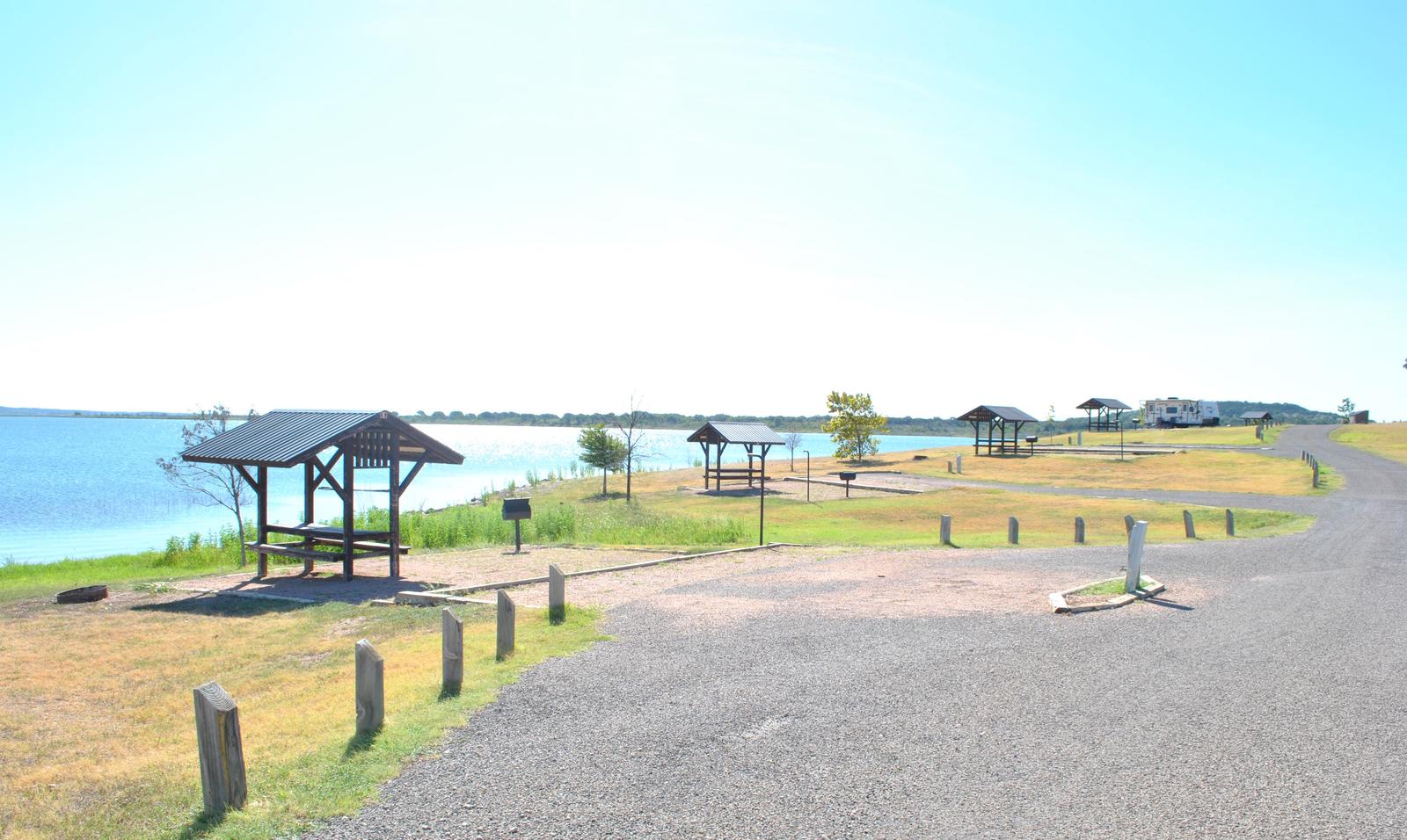
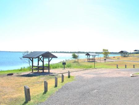
This facility has RV and tent camping sites with water and electric hookups available, as well as three screen shelters available for guests without camping equipment. The facility is one of only two reservable campgrounds on the lake.
Stillhouse Hollow Lake was created by the U.S. Army Corps of Engineers with the construction of Stillhouse Hollow Dam in 1968. The 6,430-acre lake is located 16 miles upstream of the confluence of the Lampasas and Leon Rivers, which flow into the Little River.
Recreation
With 58 miles of shoreline, Stillhouse Hollow Lake is an often uncrowded haven for boaters and fishermen. The campground has a four-lane boat ramp, and visitors who do not have motor boats, canoes or kayaks can rent them nearby.
Families can enjoy soaking up the sun and swimming at the beach within the facility, or hanging out at the playground.
Birding is also a favorite pastime, with hawks, Great Blue herons, ducks, geese, many species of songbirds, bobwhite quail, Rio Grande turkey and even an occasional bald eagle, yielding year-round opportunities for bird sightings.
Facilities
The campground has more than 30 campsites, including RV and tent sites with electric hookups, double sites and screened shelters. The park offers restrooms with flush toilets and hot showers, a swimming beach, fishing dock, playground and boat ramp.
Natural Features
Aside from two campgrounds and a nearby day-use park, very little of the lakeshore is developed. The edges consist of rocky beaches and sandy bluffs. Although much of the lake area is forested, the campground has rolling hills that are mostly open with little to no shade.
Most campsites have a view of the water, with some right along the shoreline and others within a short walking distance.
The lake has noticeably clear and deep water that is inhabited by largemouth bass, smallmouth bass, channel catfish and many birds. A man-made wetland was constructed on the south shore of the lake to provide an additional 10 acres of wildlife habitat in the lake area.
Nearby Attractions
Within a short drive, the Village of Salado offers golf, art galleries and shopping, among other pastimes.
Chalk Ridge Falls Environmental Learning Center is below the Stillhouse Hollow Lake Dam. The center has about five miles of hiking trails, including a one-mile nature trail along the Lampasas River, a spring-fed creek, a waterfall, bridges and several wildlife viewing points.
Stillhouse Hollow Lake is located near the Fort Hood Army Base, which has several points of interest for the military buff.