YEGUA CREEK, TX Campground Reservation, Info, Images, Map, Directions

YEGUA CREEK, Texas Campground Images, Info & Reservations

Directions

From Austin, Texas, take US 290 east to Brenham. Follow HWY 36 north 11.5 miles to FM 1948. Turn left and follow FM 1948 2.5 miles. Turn right into park complex, following campground signs.

From Houston, Texas, take HWY 290 west to Brenham. Follow HWY 36 north 11.5 miles to FM 1948. Turn left and follow FM 1948 2.5 miles. Turn right into park complex, following campground signs.

Phone

979-596-1622; FOR BOOKING, CALL 1-877-444-6777

Activities

BOATING, CAMPING, FISHING

Keywords

YEGU,SOMERVILLE LAKE,LAKE SOMERVILLE,SOMERVILLE LAKE

Related Link(s)

Rec Area Info & Images

Texas State Road Conditions

Texas State Tourism

Overview

Yegua Creek is located at Somerville Lake near Somerville, Texas. The lake offers various types of recreation such as camping, fishing, boating, nature trails and much more.

Recreation

Somerville Lake offers many opportunities for outdoor recreation. Water sports, hiking and biking are popular activities.

White and hybrid-striped bass, crappie and catfish populate the lake, as well as largemouth bass which can reach 10 or more pounds.

Facilities

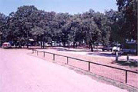
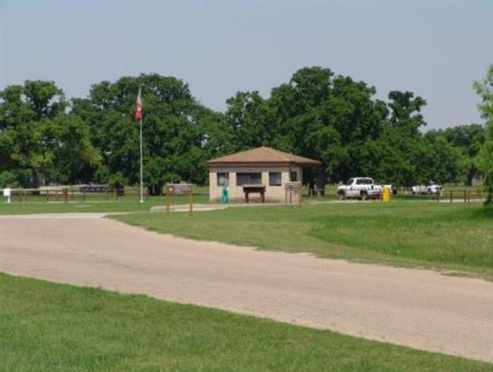
Yegua Creek Campground has 82 sites, 65 of which have 50-amp electrical and water hookups.
Flush toilets and showers are provided, as are picnic tables and fire rings. Two boat ramps, an interpretive trail, and dump station are located on-site.

Natural Features

The campground is situated on the shoreline of scenic Somerville Lake. Pelicans and other waterfowl frequent the shoreline.

Nearby Attractions

Rocky Creek Park is nearby, offering additional access to Somerville Lake and all its great water activities.

The city of Somerville, Texas is less than 10 miles from Rocky Creek, offering restaurants and shops.

Reservation

More from CampingHiking.net:

ROCK CREEK RECREATION AREA, Tennessee Campground Images, Info & Reservations

Directions From I-26 take exit 34 to Main Street (TN107) in Erwin, take TN 395 east for 3.5 miles to Rock Creek Recreation Area. Phone 423-638-4109 Activities BIKING, HISTORIC & CULTURAL SITE, CAMPING, FISHING, HIKING, PICNICKING, RECREATIONAL VEHICLES, WILDLIFE VIEWING, FISH HATCHERY, WILDERNESS, DAY USE AREA, PLAYGROUND PARK SPECIALIZED SPORT

JEFFERSON SPRINGS, Tennessee Campground Images, Info & Reservations

Directions From downtown Nashville, TN, take I-24 east to Sam Ridley Parkway. Turn left onto Jefferson Pike and the Recreation Area will be on the left. Phone 615-889-1975 Activities BOATING, FISHING, HIKING, WILDLIFE VIEWING Keywords JEFS,J. PERCY PRIEST,PERCY PRIEST LAKE,J PERCY PRIEST DAM Related Link(s) Rec Area Info & Images

BERNERS BAY CABIN, Alaska Campground Images, Info & Reservations

Directions Located 37 miles northwest of Juneau, the cabin is on shore of Berners Bay, 8 miles north from boat launch at Echo Cove at mile 40 Glacier Highway. Access is by boat, kayak and float plane only. Consult tide charts, as some parts of the bay become extremely shallow

COAL MINE, New Mexico Campground Images, Info & Reservations

Directions From Grants, take New Mexico State Highway 547 for 10 miles to the campground. Phone 505-287-8833 Activities CAMPING, HIKING, SCENIC DRIVE Keywords COAM,CIBOLA NF – FS Related Link(s) Rec Area Info & Images New Mexico State Tourism New Mexico State Road Conditions Overview Coal Mine Campground is situated in

TALL CHIEF COVE, Oklahoma Campground Images, Info & Reservations

Directions From Tulsa, Oklahoma, take Highway 75 north to State Highway 20. Take the Skiatook exit, turn west on State Highway 20 and drive about 15 miles. Turn left on Lake Road and proceed about five miles to the campground. Phone 918-288-6820 Activities BOATING, CAMPING, FISHING, DAY USE AREA, SWIMMING