FALL CREEK CAMPGROUND, KY Campground Reservation, Info, Images, Map, Directions

FALL CREEK CAMPGROUND, Kentucky Campground Images, Info & Reservations

Listen

Directions

From Monticello: KY 90, Turn onto KY 1275, light #1, Travel approximately 3.5 miles, Turn onto Hwy 2393, travel approximately 2 miles, Turn left at Fall Creek sign, Road ends at campground.

Phone

606-348-6042

Activities

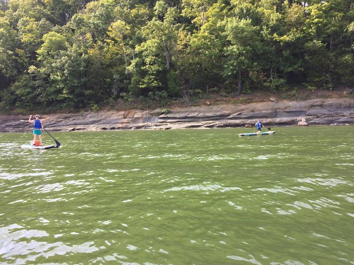
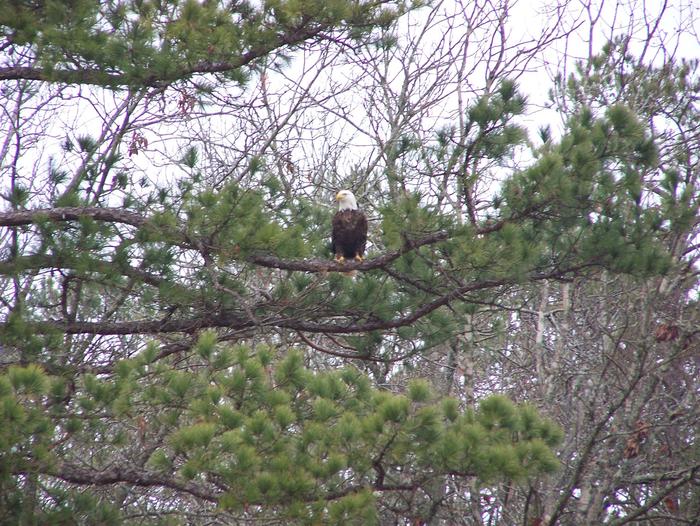
BOATING, CAMPING, WILDLIFE VIEWING

Keywords

Fall Creek,Lake Cumberland,Wolf Creek Dam,FALL CREEK RECREATION AREA

Related Link(s)

Rec Area Info & Images

Kentucky State Road Conditions

Kentucky State Tourism

Overview

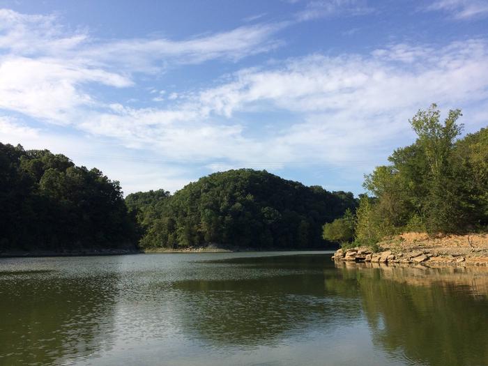
Fall Creek Campground is located at 1144 New Fall Creek Road, Monticello and is situated along the shores of the vast Lake Cumberland in southern Kentucky.

Click here for the Lake Cumberland virtual tour.

Recreation

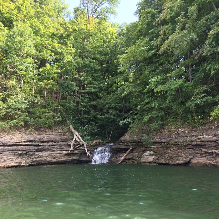
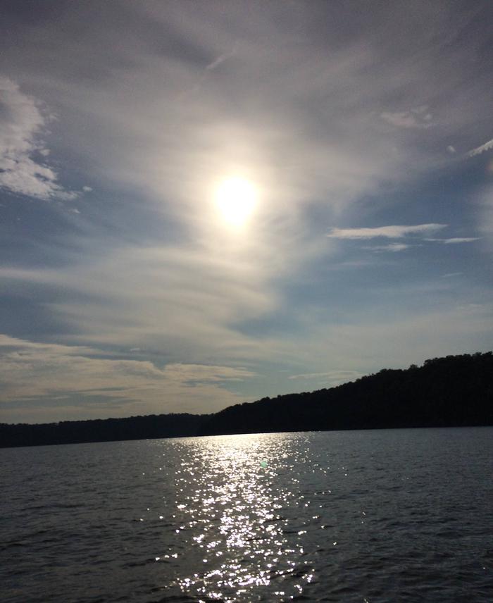
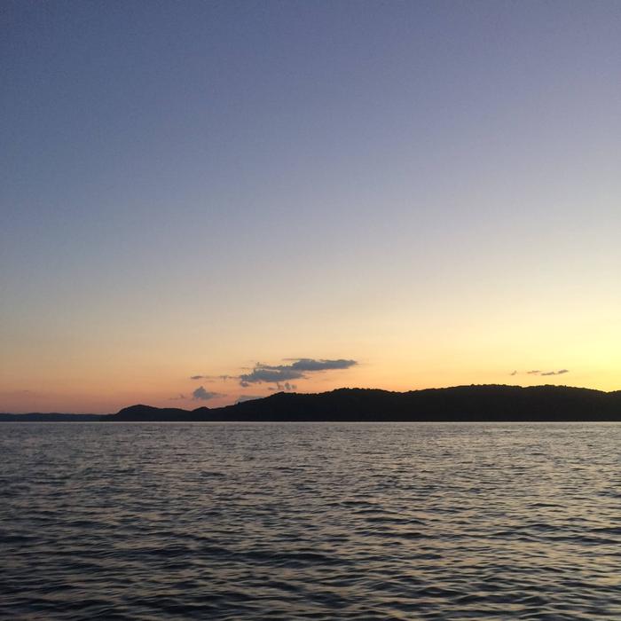
Lake Cumberland is the largest man-made lake east of the Mississippi River. Its large surface acreage and over 1,200 miles of shoreline provide a myriad of recreational activities.

The lake has an abundance of largemouth, smallmouth, white and Kentucky bass, bluegill, crappie, rockfish and walleye, making it a favorite among anglers.

Facilities

Visitors enjoy the 10-acre site and its 10 shaded campsites. All of these sites are waterfront, making them prime locations for weekend recreation. Fall Creek has a day-use area, picnic shelter and public parking. Amenities include flush toilets, showers, drinking water and a dump station. A boat ramp and playground are located within the park.

Natural Features

The campground overlooks the main body of the lake, offering sweeping scenic views. Dense stands of mature hardwoods forest the area, offering pleasant shade and wildlife habitat.

Due to the temperate climate and relatively long recreation season, the lake provides varied outdoor recreational opportunities for millions of visitors each year.

Nearby Attractions

The Mill Springs Mill Park is just a 15-minute drive from the campground. This historic mill site offers interpretive tours and grinding on the weekends and holidays, picnic sites and a gift shop. Grinding is at 2:00pm Saturday, Sunday and Holidays. Interpretive tours of the mill are given Saturday, Sunday and Holidays during the recreation season.

Reservation

More from CampingHiking.net:

JOHNSON CREEK, Oklahoma Campground Images, Info & Reservations

Listen Directions From Durant, OK, travel 11 miles west on Highway 70. Exit off Highway 70 to the north and the park entrance is 300 yards ahead. Physical address: 215 Johnson Creek Road, Mead, OK 73449. Phone 580-924-7316 Activities CAMPING Keywords JOCR,TEXOMA LAKE,TEXOMA LAKE Related Link(s) Rec Area Info &

COEUR D’ALENE, Kansas Campground Images, Info & Reservations

Listen Directions From US-75, take the Melvern Exit and travel 2 miles south on Melvern Lake Parkway, then 1 mile northwest on Coeur d’Alene Parkway (campground road). Phone 785-549-3318 Activities BOATING, CAMPING, HIKING, SWIMMING SITE Keywords COEU,MELVERN LAKE,MELVERN PROJECT,MELVERN SATE LK CDA OVERLOOK,COEUR D’ALENE PICNIC AREA,MELVERN STATE LK CDA OVERLOOK,MELVERN

WHISKY CAMP GUARD STATION, Oregon Campground Images, Info & Reservations

Listen Directions From Canyonville take West 1st Street and turn onto SE 3rd St/OR-227. Continue to follow OR-227 approximately 23 miles until you reach Tiller Oregon and take a left onto Douglas County Road 46 just before the bridge crossing the South Umpqua River. From Tiller, take Douglas County Road

ALTAMONT, Utah Campground Images, Info & Reservations

Listen Directions From Salt Lake City, Utah, travel south on I-15 to Alpine-Highland exit 284. Travel east on Highway 92 approximately 13 miles through American Fork Canyon, then 3 miles south on the Alpine Loop Scenic Byway. Campground is on the left. Phone PLEASANT GROVE RANGER DISTRICT 801-785-3563 OR UTAH

HALF MOON LAKE CAMPGROUND, Wyoming Campground Images, Info & Reservations

Listen Directions To reach the campground from Pinedale, drive to the east side of town and turn northeast onto the Fremont Lake road, passing the Pinedale Ranger District Office. Continue straight on the main road for approximately 10 miles to Half Moon Lake Road. Turn right onto road and continue

ASPENGLEN CAMPGROUND, Colorado Campground Images, Info & Reservations

Listen Directions Aspenglen Campground is located off Highway 34 just inside the Fall River Entrance of Rocky Mountain National Park. Phone 970-586-1206 Activities CAMPING, FISHING, HIKING, HORSEBACK RIDING, VISITOR CENTER, DAY USE AREA Keywords Rocky,Rocky Mountain National Park,Aspen Campground Related Link(s) Rec Area Info & Images Colorado State Tourism Colorado