

Directions
From I-5 at Vancouver, take Highway 14 east for 66 miles and continue on Highway 141 north for 15 miles to Forest Service Road 2400 (5 miles south of the town of Trout Lake). Turn northwest and head 3.5 miles to the Group Camp.
Phone
541-338-7869
Activities
BIKING, CAMPING, HIKING
Keywords
ATKI,GIFFORD PINCHOT NF – FS
Related Link(s)
Washington State Road Conditions
Overview
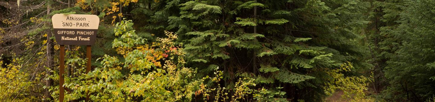
Sitting just west of Washington’s second largest mountain, Mt. Adams, Atkisson Group Camp is open for campers between May and September and becomes a sno-park for a variety of activities in winter. The flat, forested terrain makes Atkisson a popular spot for hikers, mountain bikers and winter sports enthusiasts.
Recreation
The flat terrain surrounding Atkisson is ideal for biking and hiking during the warmer months. Huckleberry and mushroom picking is permitted, and Nordic skiing and and snowmobiling are popular during the winter.
Facilities
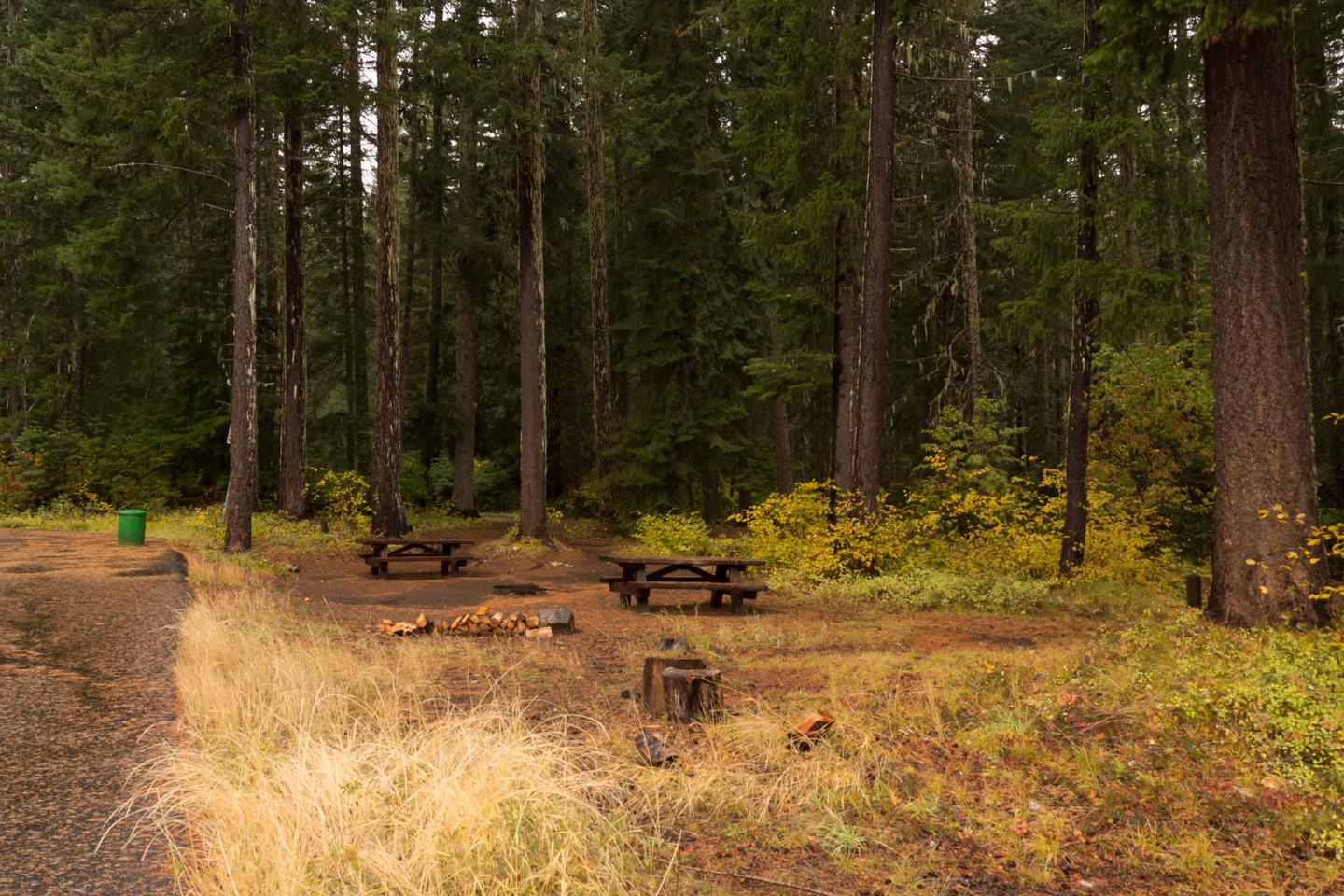
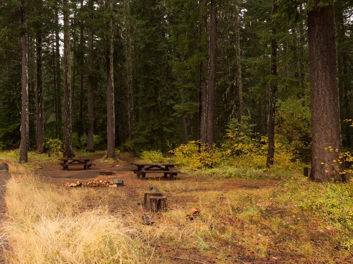
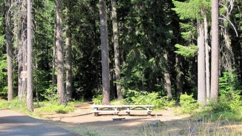
This group site is a large paved area with plenty of room for RVs. There is a covered, common picnic building in the center. Atkisson will accommodate up to 50 people and offers 99 feet of paved driveway.
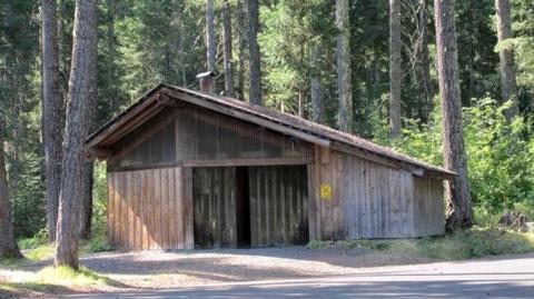
In winter, this area serves as Atkisson sno-park, with a covered warming shed a large wood burning stove.
Campers must bring drinking water, but vault toilets, a fire ring & picnic table are available.
Natural Features
Located in southwest Washington State, the Gifford Pinchot National Forest encompasses over 1.3 million acres, including the 110,000-acre Mount St. Helens National Volcanic Monument established by Congress in 1982.
Atkisson is located in the Mount Adams Ranger District in the easternmost portion of the Gifford Pinchot National Forest. This Ranger District comprises 367,000 acres and includes Mt Adams Wilderness, Indian Heaven Wilderness and Trapper Creek Wilderness.
Mt Adams, a potentially active stratovolcano and the second-tallest mountain in Washington state, is a prominent landmark of the District. Elevations here range between 1,200 feet at the Wind River Work Center (12 miles north of Carson, WA) and 12,276 feet at the summit of Mt. Adams.
The District also features a great diversity of habitats, from old growth to second growth forest, wetland areas, low and high elevation meadows and lakes, as well as glaciers.
Nearby Attractions
Atkisson is a great base for exploring the region further, including the abundance of activities and sights around Mount Adams. The nearby town of Trout Lake offers restaurants and shopping.