
Directions
From Clovis, California, take Highway 168 north 70 miles to Huntington Lake Campground office at Eastwood. Take Kaiser Pass Road to Mono Hot Springs Campground.
Phone
559-893-2111
Activities
BIKING, CAMPING, INTERPRETIVE PROGRAMS, FISHING, HIKING, WILDLIFE VIEWING
Keywords
MOHS,SIERRA NF – FS
Related Link(s)
California State Road Conditions
Overview
Mono Hot Springs Campground sits above Kaiser Pass in the High Sierra, on the South Fork of the San Joaquin River in an area known for its hot mineral baths. The camp is divided into two sections that are separated by Mono Hot Springs Resort, and some sites are shaded by aspen and lodgepole pine.
The campground sits at an elevation of 6,700 feet with many cliffs in the area. It makes a great base for exploring the nearby Ansel Adams and John Muir Wilderness areas or for simply relaxing and enjoying the scenery.
Recreation
The Mono Hot Springs area provides opportunities for fishing, birding, mountain biking, hiking and relaxing in the hot springs. Interpretive programs are offered at the campground on Friday nights during the summer.
Wading is permitted in the San Joaquin River, which is known for its excellent fly fishing.
Trailheads in the area include Devil’s Table (5 miles) and Doris Lake (2 miles). The Mono Creek Trail connects Mono Hot Springs to Edison Lake, a hike of about 10 miles round-trip.
Facilities
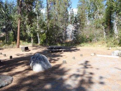
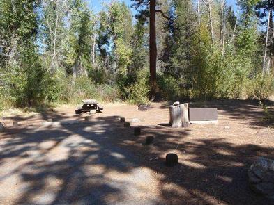
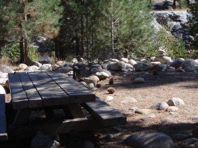
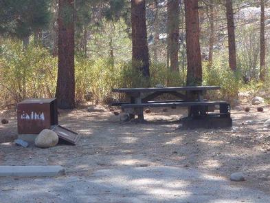
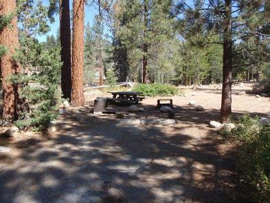
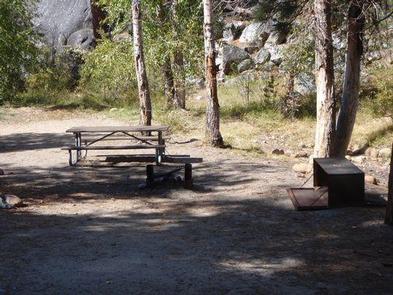
Each campsite has a picnic table, grill and bear-proof food storage locker. Vault toilets are provided. Drinking water is not available at the camp but can be acquired along with other supplies at the general store at Mono Hot Springs Resort.
Natural Features
The Sierra National Forest, located on the western slope of the central Sierra Nevada, is known for its spectacular mountain scenery and abundant natural resources.
The terrain includes rolling, oak-covered foothills, heavily forested middle elevation slopes and the starkly beautiful alpine landscape of the High Sierra.
Nearby Attractions
Edison Lake is a popular recreation area nearby offering boating, fishing and horseback riding. From this area, hikers and horseback riders can access the John Muir Wilderness, and the Pacific Crest Trail, which extends from Mexico to Canada.