


Directions
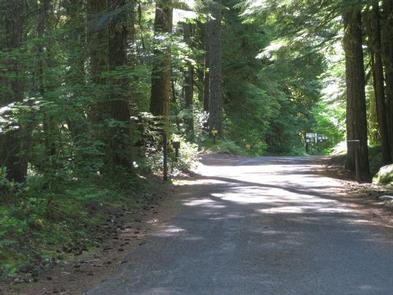
From Portland, travel east on Highway 26 for approximately 32 miles. Camp Creek Campground is located on the south side of the highway, about 3 miles past the community of Rhododendron.
Phone
503-630-5721
Activities
BIKING, CAMPING, FISHING, HIKING, VISITOR CENTER
Keywords
CACR,MT. HOOD NF – FS
Related Link(s)
Overview
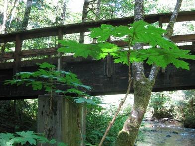
The Camp Creek Campground sits next to a babbling forest creek in the country’s scenic Pacific Northwest region. The campground is not far from the base of the majestic, snow-covered Mt. Hood, Oregon’s highest point and a prominent landmark of the area. A variety of recreational activities surround the campground, including hiking, biking and horseback riding trails, scenic views and points of exploration.
Recreation
Surrounding the campground are a variety of hiking and mountain biking trails, including the 1.6-mile Still Creek Trail, which is family-friendly and full of beautiful vegetation, and the Pioneer Bridle Trail, which takes hikers, bikers and horseback riders through about 10 miles of scenic wilderness.
Visitors to the area also enjoy mountain biking along the nearby Zigzag River, however bikes are not allowed within designated wilderness areas along the trail.
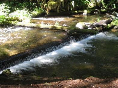
A variety of trout and whitefish populate the nearby creek and river, where anglers typically enjoy catch-and-release fishing. Wading is also popular in the cool mountain waters. The plentiful creeks and streams in the area stem from glaciers atop Mt. Hood.
Facilities
The campground offers about two dozen single-family and double occupancy campsites, available for tent and RV camping.
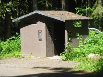
Each site is equipped with tables and campfire rings with grills. Accessible vault toilets and drinking water are provided. Parking surfaces are dirt and gravel, and a dump station is available nearby for a fee.
Natural Features
The shady and quiet campground is situated on a bench above Camp Creek, in the Mt. Hood National Forest, at an elevation of about 2,200 feet. It is tucked in among a mature forest of Douglas fir and cedar trees that are covered in moss.
The campground was originally constructed by the Civilian Conservation Corps in 1936. While updates and renovations have been made, some features from the era remain, such as several stone fireplaces.
Nearby Attractions
The town of Rhododendron is about 3 miles from the campground, offering a variety of services and supplies.