

Directions
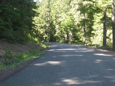
From Sandy, travel east on Highway 26 for about 35 miles. Turn onto Forest Road 2630 and continue for 1 mile to the campground.
Phone
503-630-5721
Activities
BOATING, CAMPING, FISHING, WINTER SPORTS, WILDLIFE VIEWING, SWIMMING SITE
Keywords
CLLA,MT. HOOD NF – FS
Related Link(s)
Overview
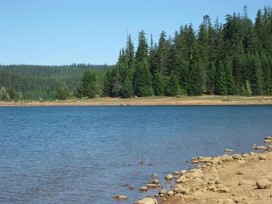
Clear Lake Campground is a shady outdoor paradise ON Clear Lake in the mountains of northern Oregon. Visitors enjoy boating, fishing, swimming and sailing on the lake, and hiking and exploring the nearby hills and terraces. Winter recreation opportunities are available in the area when it snows.
Recreation
Boating is popular on the lake, however speeds are limited to 10 mph. A steady breeze keeps bugs away at the campground, and also propels sailboats on the lake. Swimming and fishing are available. Anglers can expect to find a variety of trout.
Visitors enjoy picnicking in the day use area near the boat ramp. A hiking trail begins near the north end of the lake, connecting to the Pacific Crest Trail.
In the winter, miles of snow-covered roads and trails crisscross the forest. Shellrock Creek and High Rock, off Forest Road 57, are open to cross-country skiers and snowmobile enthusiasts.
Facilities
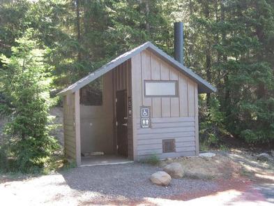
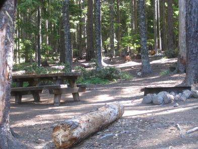
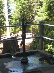
The campground offers single-family sites for tent and RV camping. Each site is equipped with a table and campfire ring with grill. Vault toilets, drinking water and trash collection are provided, but utility hookups are not available. Parking surfaces are gravel and dirt. Firewood can be purchased from the host.
Natural Features
The campground is located in a mixed conifer forest, just north of Warm Springs Indian Reservation, in Mt. Hood National Forest. It is situated on the eastern shore of the 560-acre lake, at an elevation of 3,600. Clear Lake is used primarily for irrigation purposes.
Wild mushrooms are abundant in the area during late summer and early fall. A variety of wildlife makes its home in the area.
Nearby Attractions
The small Mt. Hood village of Government Camp is 12 miles northwest of the campground. The area offers a visitor center, restaurants and year-round skiing, as well as scenic views.