Tower Rock Campground, WA Campground Reservation, Info, Images, Map, Directions

Tower Rock Campground, Washington Campground Images, Info & Reservations

Directions

Take Highway 12 east from I-5 and head south on Road 25. Go left at Y towards Highway 23 and continue for 8 miles. Take a right on Road 28 and another right on Road 76. Proceed to the campground.

Phone

541-338-7869

Activities

CAMPING, FISHING

Keywords

TOWR,GIFFORD PINCHOT NF – FS

Related Link(s)

Rec Area Info & Images

Washington State Road Conditions

Forest Service Concessionaire

Washington State Tourism

Overview

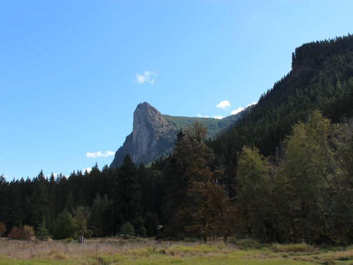
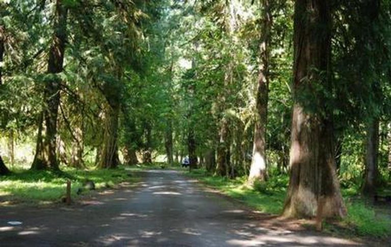
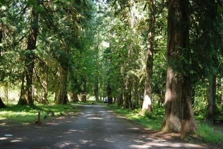
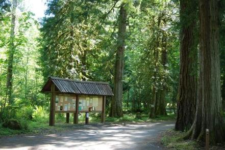
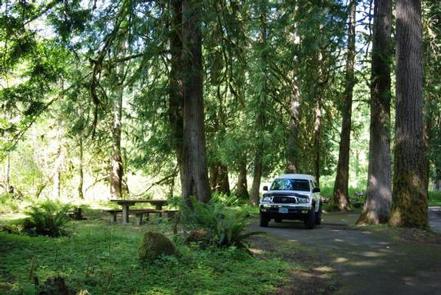
Tower Rock Campground is named for the impressive pillar that looms nearby and offers semi-private sites shaded by a mix of cedar, Douglas fir and maple.

Recreation

A privately-owned trout pond offers fishing nearby, but anglers can also cast for brook trout in the Cispus River.

The Burley Mountain trailhead is located off of Forest Road 28, about 4 miles from the Highway 23 intersection. From this trailhead, visitors can hike to multiple waterfalls, including Angel Falls.

Facilities

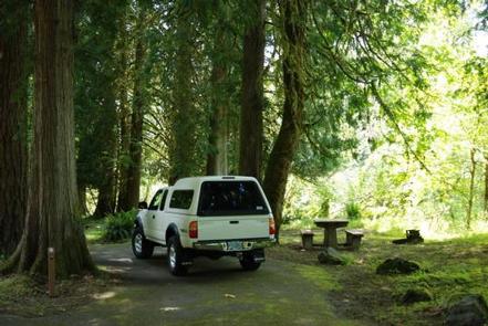
Tower Rock provides easy RV camping with paved parking spurs that can accommodate vehicles between 20 to 30 feet.

Drinking water, picnic tables and campfire rings are provided. This facility has vault toilets.

Natural Features

Tower Rock Campground is located about a quarter mile from the south bank of the Cispus River on the east side of Mount St. Helens. The terrain is mostly meadow and mountainside, as the campground is surrounded by mountains on almost every side.

Nearby Attractions

Tower Rock Campground is just east of Mount St. Helens, making it a convenient base for exploring this volcanic monument.

Layser Cave Interpretive Site, which has a short trail leading to the cave, is also nearby.

Reservation

More from CampingHiking.net:

GREENDALE, Utah Campground Images, Info & Reservations

Directions From Vernal, Utah, take U.S. 191 north for about 40 miles. From Manila, Utah, take Highway 44 for 28 miles. Turn left on U.S. 191 and travel approximately 2 miles north. From Rock Springs, Wyoming, take I-80 west toward Green River about 6 miles to the junction with U.S.

FORT HAMBY PARK, North Carolina Campground Images, Info & Reservations

Directions From Winston-Salem, North Carolina, take Highway 421 North (approximately 61 miles) and turn left onto S. Recreation Road. Continue for approximately 1.5 miles. Campground entrance is located at the end of the road. From Charlotte, North Carolina, take I-77 North (approximately 60 miles) before merging onto Highway 421 North

MACKS CREEK PARK, Idaho Campground Images, Info & Reservations

Directions From Gowen Road (Exit 57) off I-84, head east toward South Federal Way. Continue to follow Highway 21 for 12.5 miles. Turn right on Arrow Rock Road immediately after the High Bridge crossing over the lake. Continue 4.5 miles on Arrow Rock Road to Macks Creek Park. Phone 208-343-0671

EAGLE CABIN, Alaska Campground Images, Info & Reservations

Directions The cabin is located 8 air miles east of Yakutat on the east bank of Situk River. Access is by trail, boat or wheeled aircraft. From Nine Mile Bridge on Forest Highway 10, hike the 3-mile trail or boat 3.2 miles downriver (1.5 hour float). The cabin 9.6 miles

POINT SUPREME CAMPGROUND, Utah Campground Images, Info & Reservations

Directions Routes to Cedar Breaks National Monument Traveling south on I-15: Take exit 78 to Parowan Travel south on Main Street for 1.3 miles Turn left onto E. Center Street. Travel 0.3 Miles Turn right onto Utah Highway 143 East Continue approximately 15 miles to Cedar Breaks National Monument Traveling