
Directions
Take Highway 14 to Carson, WA and continue north on Wind River Highway for 13 miles to reach the campground.
Phone
541-338-7869
Activities
CAMPING, HIKING, FISH HATCHERY, KAYAKING, BIRDING, WATER ACCESS
Keywords
BGWR,CARSON,WA WIND RIVER,GIFFORD PINCHOT NF – FS
Related Link(s)
Washington State Road Conditions
Overview
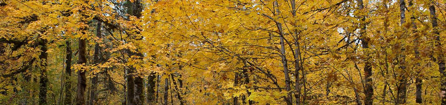
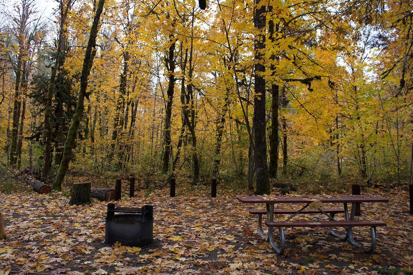
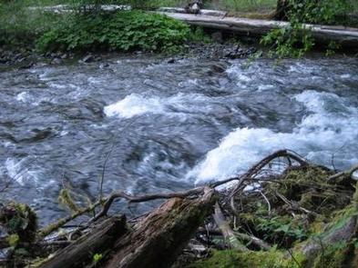
Beaver Campground is nestled among large, old maple and sycamore trees, offering a quiet and private family camping experience. Its location along the Wind River provides opportunities for anglers, but other recreational activities can be found in abundance here as well.
On-site playground equipment and horseshoe games offer fun for all ages and the surrounding forest allows visitors the chance to discover many animal and plant species.
Recreation
The Wind River offers Chinook salmon and steelhead trout fishing for anglers.(check state regulations for season open/close) And the nearby Washington Department of Fish and Wildlife fish hatchery offers opportunities in the spring to view Chinook salmon.
Kayaks and canoes are permitted on the Wind River and the surrounding area offers opportunities for hiking, horseback riding and biking.
Berry picking is popular in season.
Facilities
This campground consists of 24 campsites that can accommodate either tents or RVs. One group site is available and can accommodate up to 50 people and 10 vehicles.
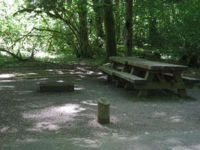
vault toilets are available and drinking water is offered on-site. Picnic tables and fire pits are provided.
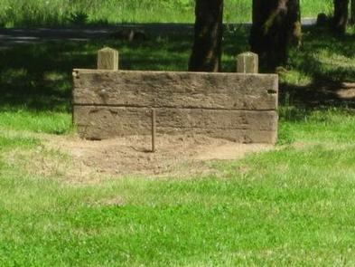
Beaver Campground is very unique, having a swingset, activity field and horseshoe pit available on-site, providing entertainment for all ages.
Natural Features
Located in southwest Washington State, the Gifford Pinchot National Forest encompasses over 1.3 million acres, including the 110,000-acre Mount St. Helens National Volcanic Monument established by Congress in 1982.
Beaver Campground is located in the Mount Adams Ranger District, in the easternmost portion of the Gifford Pinchot National Forest. This district spans 367,000 acres and includes the Mt Adams Wilderness, Indian Heaven Wilderness and Trapper Creek Wilderness.
Mt Adams, a potentially active stratovolcano and the second-tallest mountain in Washington state, is a prominent landmark of the District. Elevations here range between 1,200 feet at the Wind River Work Center (12 miles north of Carson, WA) and 12,276 feet at the summit of Mt. Adams.
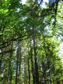
A great diversity of habitats and geological features are represented here, from old growth to second growth forests and wetland areas to low and high elevation meadows and lakes, as well as glaciers.
Nearby Attractions
Beaver Campground is one of the closest Forest Service campsites to the Columbia River Gorge and Portland, Oregon.
The nearby town of Carson is known for its hot springs, but visitors can also find the Wind River Arboretum, a golf course, restaurants and shopping.