
Directions
From Portland, travel east on Highway 26 for 42 miles. Take the Highway 35 exit to Hood River and travel northeast for 3 miles. Turn right on Forest Road 48 and travel 22 miles. Turn left on Forest Road 4810 and continue to the campground.
Phone
503-630-5721
Activities
BOATING, CAMPING, FISHING, HIKING, VISITOR CENTER, WILDLIFE VIEWING, SWIMMING SITE
Keywords
ROKE,MT. HOOD NF – FS,ROCK CREEK,ROCK CREEK (OR),Rock Creek
Related Link(s)
Overview
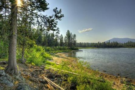
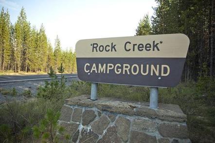
Rock Creek Campground sits on the shores of scenic Rock Creek Reservoir in the pine-covered mountains of Mt. Hood National Forest. It is a family-friendly campground with many sites right on the water’s edge. The campground provides access to a variety of recreational activities, as well as historic sites throughout the forest.
Recreation
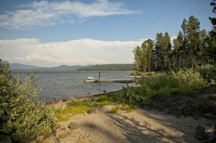
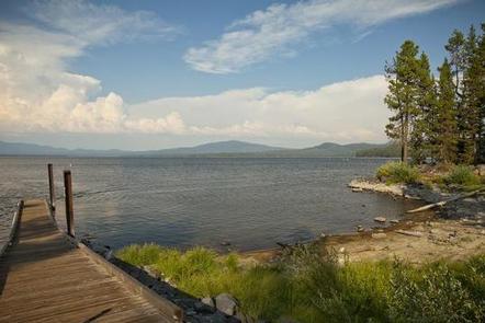
The reservoir is a popular spot for fishing, canoeing and boating, however, boats must have electric motors. Anglers can expect a catch of bass and bluegill, and the lake is regularly stocked with rainbow trout.
An unmarked trail connects the campground to nearby Sportsman Campground, which offers a network of off-road vehicle trails.
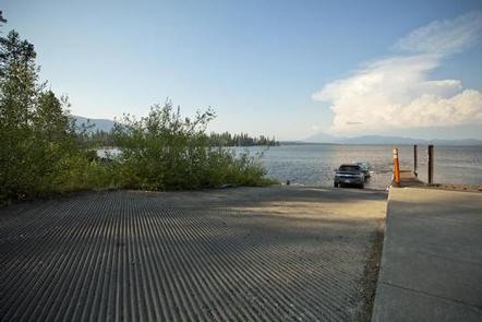
A boat ramp, picnic area and hiking trail are available at the adjacent day use area.
Facilities
The campground offers single-family sites for tent and RV camping. RVs over 35 feet are not recommended. Some sites are available on a first-come, first-served basis.
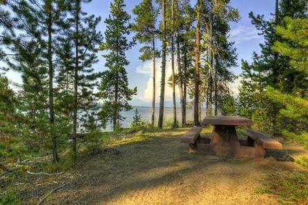
Each site is equipped with a table and campfire ring with grill. Vault toilets and drinking water are provided, but utility hookups are not available. Water disposal locations can be found throughout the campground. Parking surfaces are gravel. Firewood can be purchased from host.
Natural Features
The campground is situated in a stand of mixed oak and pine trees, along the southeastern shore of the 180-acre reservoir, which is rarely at capacity because it is used for irrigation purposes. At an elevation of about 4,600 feet, the campground provides scenic views of the adjacent lake and surrounding forest.
A variety of wildlife make its home in the area and eagles are commonly spotted nesting.
Nearby Attractions
The campground is about 30 miles from the town of Government Camp at the base of Mt. Hood. Year-round skiing, a variety of trailheads and many sightseeing opportunities can be found there.