
Directions
From I-5, take Highway 12 east to Randle, and from there go south on Road 25 and continue until you reach a fork in the road. Take the left fork onto Road 23 and travel for about 10 miles to North Fork Campground & Group Camps.
Phone
541-338-7869
Activities
BIKING, CAMPING, FISHING, HIKING, HUNTING
Keywords
NFEL,GIFFORD PINCHOT NF – FS
Related Link(s)
Washington State Road Conditions
Overview
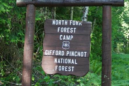
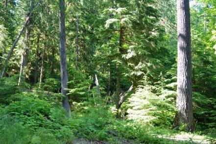
North Fork Elk Group sits alongside the Cispus River in the North Fork Campground, shaded by a dense canopy of pine, fir and cedar trees. The facility is typically open from mid-May through late September, and is one one of three group sites within the campground.
North Fork is situated between three of Washington’s most impressive mountains: Mount St. Helens, Mt. Adams and Mt. Rainier. The variety of recreational activities and the diverse natural beauty draws many visitors to this area.
Recreation
North Fork Elk Group makes a great base camp for a variety of activities. Hikers, mountain bikers and OHV riders can access the nearby multi-use Valley Trail. From this trail, OHV riders can enjoy a network of over 50 miles of OHV trails.
The North Fork Loop trail is open to foot traffic and can also be accessed in this area.
Anglers can fish the Cispus River for brook trout, steelhead and salmon.
Facilities
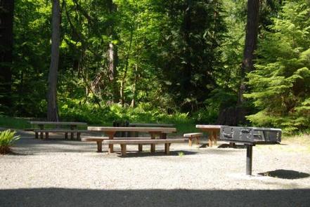
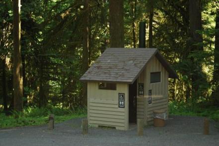
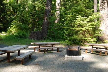
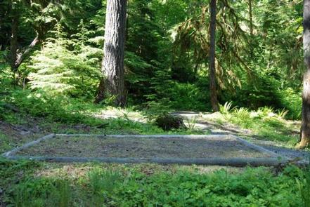
This tent-only site has six tent pads and will accommodate up to 30 people. It’s secluded with gated access and offers picnic tables, grills and drinking water.
There is a host on-site and firewood is available for sale.
Natural Features
North Fork is part of the Cowlitz Valley Ranger District, which is located in the northernmost portion of the Gifford Pinchot National Forest.
Located in southwest Washington state, the Gifford Pinchot National Forest encompasses 1.3 million acres and includes the 110,000-acre Mount St. Helens National Volcanic Monument established by Congress in 1982.
This Ranger District manages four Wilderness Areas including the Goat Rocks Wilderness, Glacier View Wilderness, Tatoosh Wilderness and William O. Douglass Wilderness. Major River drainage includes the Cowlitz River, Clear Fork of the Cowlitz, and the Cispus River.
A variety of wildlife may be spotted in this area, including elk, deer and bears.
Nearby Attractions
Randle is the closest town to North Fork, and it offers access to the Windy Ridge Lookout at Mount St. Helens.
Adventurous hikers who want to enjoy some spectacular views may be interested in the Tongue Mountain Trail, which climbs to an elevation of 4,838 feet.