
Directions
Follow US Route 50 east to MD Route 611 south. Proceed over Verrazano Bridge. Take first right onto BayBerry Drive. Continue 2.25 miles to entrance station. Pay entrance fee. Take first right to ranger station to register and check in.
Phone
410-641-3030
Activities
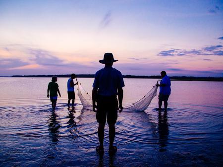
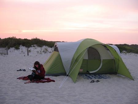
BIKING, CAMPING, INTERPRETIVE PROGRAMS, FISHING, HIKING, SWIMMING, KAYAKING, CANOEING, BEACHCOMBING, CLAM DIGGING, CRABBING, SURFING, BIRDING, WINDSURFING, WILD HORSE VIEWING
Keywords
CG01,Assateague National Park,Assateague Federal Park,Assateague Oceanside,Assateague Park. Assateague Bayside,Assateague Island Park,Assateague,bay side,ocean side,Assateague Bay side,Assateague Oean Side
Related Link(s)
Maryland State Road Conditions
Overview
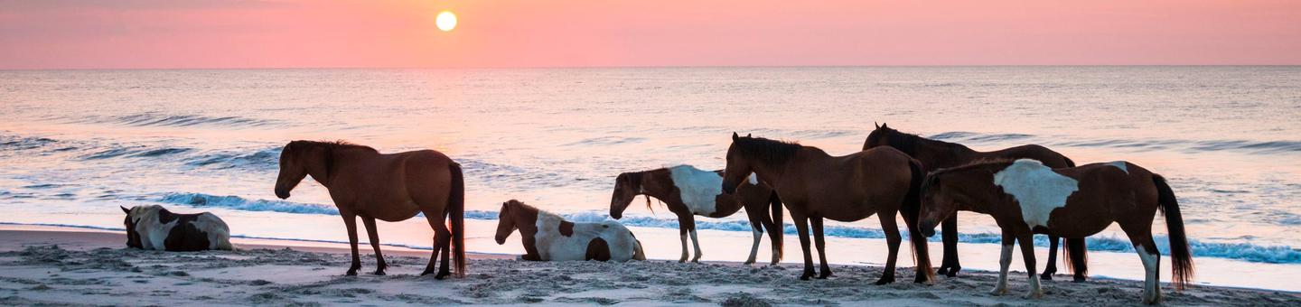
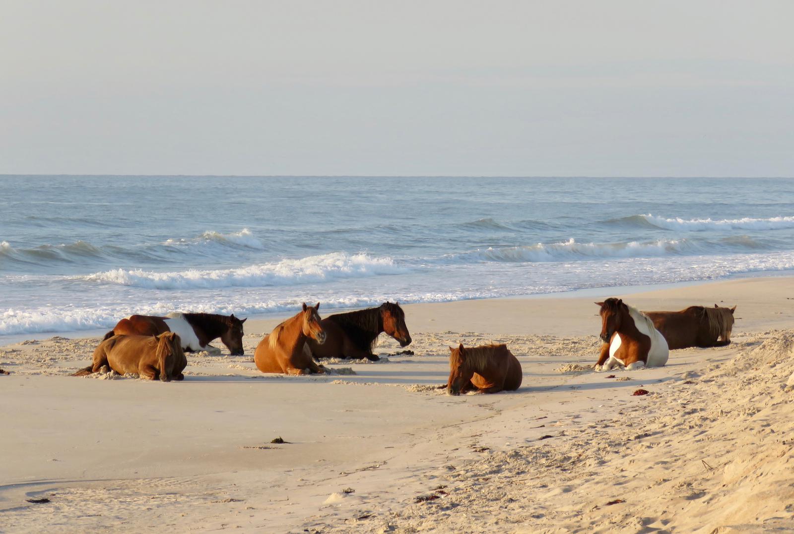
Assateague Island, famed for its wild horses, lies off the Delmarva Peninsula on the Atlantic Coast. This barrier island is a constantly shifting ribbon of sand, altered daily by powerful wind and waves. The Assateague Island National Seashore, Assateague State Park, and the Chincoteague National Wildlife Refuge each manage and protect this unique, diverse strip of land. For more information, please click here .
Recreation
Activities are abundant on the island, with crabbing and clamming, and a long stretch of beach for swimming, kayaking and fishing.
Facilities
The campground is open year-round. Advance reservations are available up to 6 months in advance during the following dates:
- Oceanside Group Sites: Year-round.
- Equestrian Non-electric sites: From October 16 through April 15 each year (closed April 16 – October 15).
- Oceanside and Bayside Individual sites: From March 15, 2019 through November 15 each year (walk-up only, November 16 – March 14).
Amenities include vault toilets, drinking water, and unheated showers for rinsing off sand. Water is available when temperatures are above freezing.
The island can be accessed from the northern route in Maryland or the southern route in Virginia, but there is no through road from one end of the island to the other. Access to both Maryland and Virginia entrances are reached by bridge over mainland routes.
Natural Features
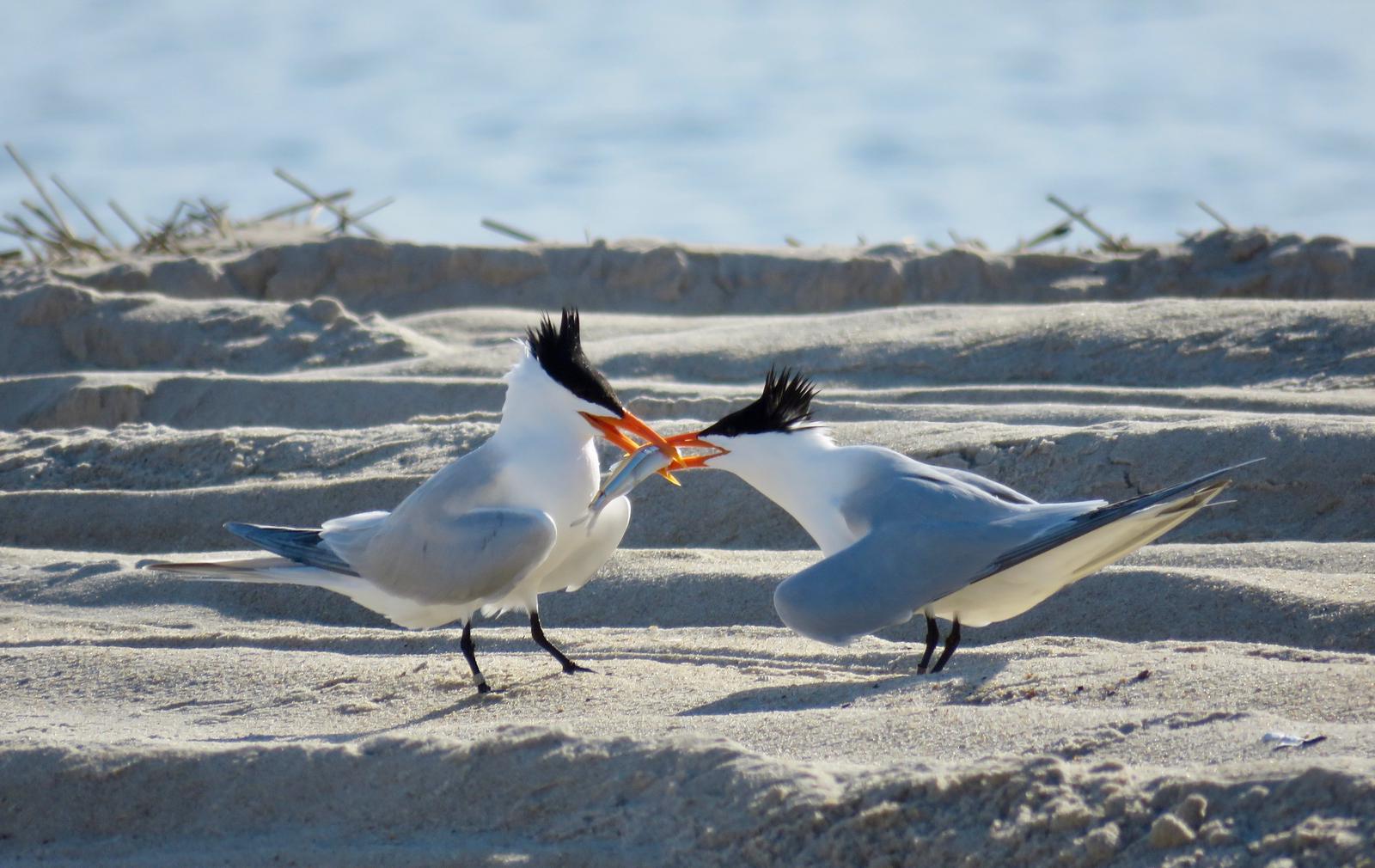
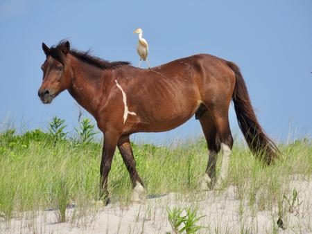
Assateague is a 37-mile long barrier island on the Atlantic Coast of Maryland and Virginia. The terrain is a mix of sand dunes, maritime forests and salt marshes, and is just a couple miles wide at its broadest section. Two herds of wild horses inhabit the island. The Maryland herd roams freely in part of Assateague Island National Seashore. The Virginia herd roams in large fenced areas in the Chincoteague National Wildlife Refuge. The horses are descendants of late 17th century horses brought by colonists attempting to avoid livestock taxes. They now thrive among other wildlife including sika deer, ghost crabs and migrating birds like the great blue heron and snowy egret.
Nearby Attractions
Chincoteague National Wildlife Refuge offers a 14,000-acre wildlife preserve located at the southern end of Assateague Island. To the north, Assateague State Park features two miles of pristine ocean beaches.