LOWER LITTLE TRUCKEE, CA Campground Reservation, Info, Images, Map, Directions

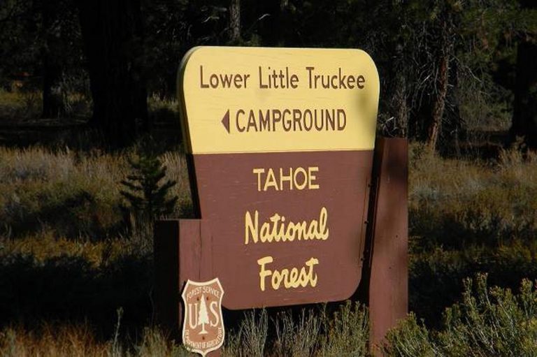
LOWER LITTLE TRUCKEE, California Campground Images, Info & Reservations

Directions

From either east bound or west bound Interstate 80 in Truckee take exit 188, Highway 89 north to Sierraville. In aproximately 11 miles turn left into the campground.

Phone

(530) 994-3401

Activities

CAMPING, FISHING, HIKING, HUNTING, MOUNTAIN BIKING, SCENIC DRIVE

Keywords

LOLI,TAHOE NF – FS

Related Link(s)

Rec Area Info & Images

California State Road Conditions

California State Tourism

Overview

Lower Little Truckee Campground is located along the Little Truckee River on Highway 89, about 11 miles north of Truckee. Its convenient location makes it a great base camp for a variety of recreational activities, including fishing, hunting, hiking and biking. This facility is operated and maintained by the Tahoe National Forest.

Recreation

Fishing for rainbow and brown trout in the Little Truckee River is a popular activity enjoyed by visitors to the area. The surrounding area offers hiking and biking trails.

Facilities

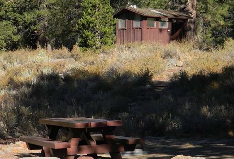
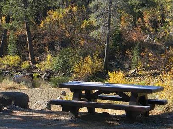
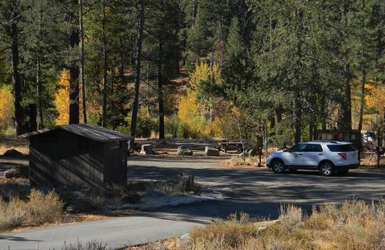
The campground offers single-family campsites, each equipped with a picnic table and campfire ring. Vault toilets and drinking water are provided.

Natural Features

The campground is situated on the banks of the Little Truckee River, at an elevation of 6,100 feet. A forest of lodgepole pine, aspen and juniper trees covers the area, offering partial shade. A few sites overlook the river.

Nearby Attractions

The Town of Truckee, 10 minutes south, offers all the amenities of a year round recreational mountain town with Interstate highway connectivitiy including top notch restaraunts, resorts, and hotels, grocery stores, gas stations, shopping, and historic sites. Lake Tahoe is located 30 minutes away and offers excellent boating, kayaking, fishing, hiking and scenic driving opportunities as well as dining, shopping and lodging options. Stampede Reservoir and recreation area is a 35-minute drive southeast of the campground. Sardine Lakes, within beautiful Lakes Basin, is a 40-minute drive northwest, via the Golden Chain/Highway 49. Other recreational opportunities include Donner Camp Interpretive Trail, Overland Emigrant Commemorative Trial, Prosser Pits OHV area, and numerous hiking, mountain biking, and OHV trails.

Reservation

More from CampingHiking.net:

LONESOMEHURST CAMPGROUND, Montana Campground Images, Info & Reservations

Directions From West Yellowstone, travel west on Highway 20 for eight miles, then continue four miles north on Hebgen Lake Road (Denny Creek Road). Phone 406-646-1012 Activities BIKING, BOATING, CAMPING, FISHING, HIKING, WILDLIFE VIEWING, PHOTOGRAPHY, SWIMMING, KAYAKING, CANOEING, BERRY PICKING, STAR GAZING, BIRDING, WATER ACCESS, BACKPACKING Keywords None Related Link(s)

GREEK CREEK CAMPGROUND, Montana Campground Images, Info & Reservations

Directions From Bozeman, travel south on Highway 191 for 30 miles, to the campground. From West Yellowstone, travel north on Highway 191 for about 59 miles. Phone (406)646-1012 Activities CAMPING, FISHING, WILDLIFE VIEWING, PHOTOGRAPHY, KAYAKING, STAR GAZING, BIRDING, WATER ACCESS, RAFTING Keywords GREK,GALLATIN NF – FS Related Link(s) Rec Area

LOST CLAIM, California Campground Images, Info & Reservations

Directions From Groveland, Take State Highway 120 east for 12 miles. The campground is just east of the Groveland Ranger District Office. Phone 209-379-2258 Activities BIKING, CAMPING, FISHING, HIKING, WILDLIFE VIEWING, STAR GAZING Keywords LOST CLAIM Related Link(s) Rec Area Info & Images California State Road Conditions Forest Service Concessionaire

MAXEY CABIN, Montana Campground Images, Info & Reservations

Directions From Bozeman, MT: Drive south on S. 19th Ave. for about 7 miles. Turn left onto Hyalite Canyon Road FS 62. Drive 11.1 miles on the Hyalite Canyon Road to the Maxey Cabin access road which is on the left (east) side of Hyalite Road 62. You have driven

DEMOTTE, Arizona Campground Images, Info & Reservations

Directions From Kanab, UT the facility is 40 miles (35 miles from Fredonia, AZ) south on U.S. Route 89A to AZ State Route 67, at Jacob Lake. Then south 25 miles on AZ State Route 67 to DeMotte campground. From Bitter Springs intersection of U.S. 89 and 89A. Take 89A

SOUTH MARCUM CAMPROUND, Illinois Campground Images, Info & Reservations

Directions From I-57 take exit 71 and turn west onto Highway 14. After 3 miles turn right on Rend City Road, then right on Rend Lake Dam Rd. Continue 3 miles to the park entrance on the left. Phone 618-724-2493 Activities BIKING, BOATING, CAMPING, FISHING, HIKING, HUNTING, SWIMMING SITE Keywords